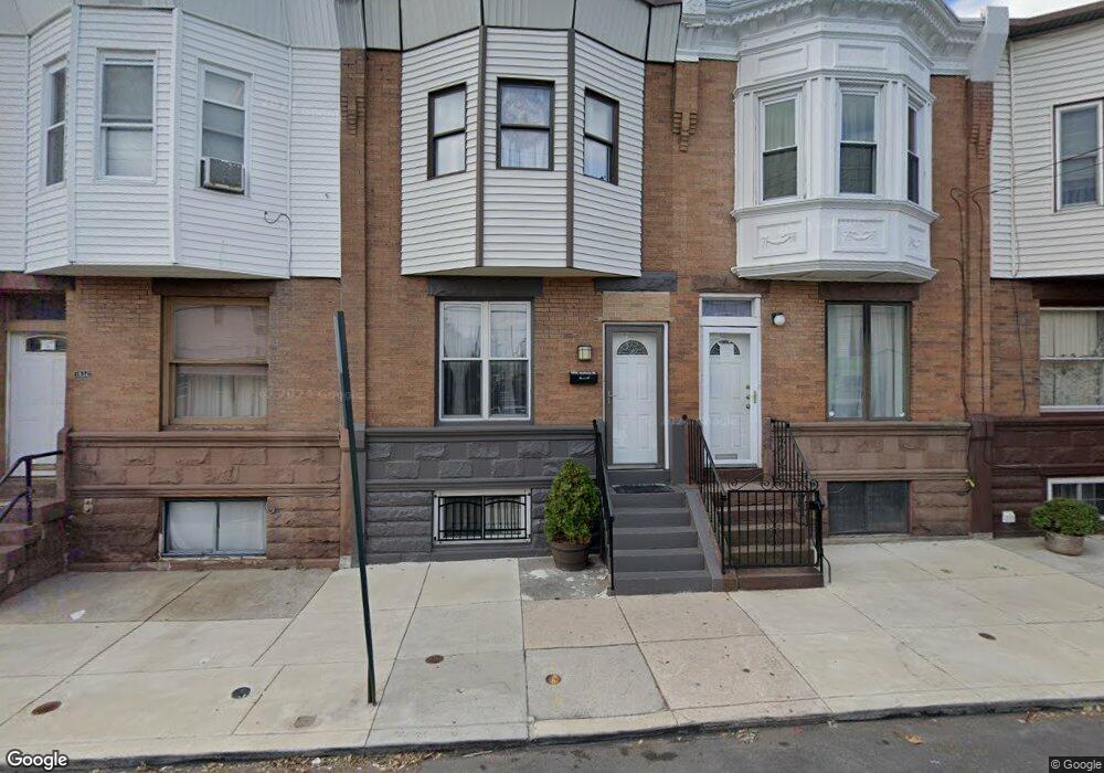
1936 Jackson St Philadelphia, PA 19145
South Philadelphia West NeighborhoodEstimated Value: $208,143 - $290,000
3
Beds
1
Bath
1,200
Sq Ft
$209/Sq Ft
Est. Value
About This Home
This home is located at 1936 Jackson St, Philadelphia, PA 19145 and is currently estimated at $250,536, approximately $208 per square foot. 1936 Jackson St is a home located in Philadelphia County with nearby schools including Stephen Girard School, Universal Vare Charter School, and Universal Audenried Charter High School.
Ownership History
Date
Name
Owned For
Owner Type
Purchase Details
Closed on
Jun 23, 2000
Sold by
Clesi Peter J and Clesi Kathleen
Bought by
Peredo Marie and Peredo Primitivo C
Current Estimated Value
Home Financials for this Owner
Home Financials are based on the most recent Mortgage that was taken out on this home.
Original Mortgage
$66,638
Outstanding Balance
$23,961
Interest Rate
8.5%
Mortgage Type
FHA
Estimated Equity
$226,575
Create a Home Valuation Report for This Property
The Home Valuation Report is an in-depth analysis detailing your home's value as well as a comparison with similar homes in the area
Home Values in the Area
Average Home Value in this Area
Purchase History
| Date | Buyer | Sale Price | Title Company |
|---|---|---|---|
| Peredo Marie | $67,000 | -- |
Source: Public Records
Mortgage History
| Date | Status | Borrower | Loan Amount |
|---|---|---|---|
| Open | Peredo Marie | $66,638 |
Source: Public Records
Tax History Compared to Growth
Tax History
| Year | Tax Paid | Tax Assessment Tax Assessment Total Assessment is a certain percentage of the fair market value that is determined by local assessors to be the total taxable value of land and additions on the property. | Land | Improvement |
|---|---|---|---|---|
| 2025 | $2,300 | $189,400 | $37,800 | $151,600 |
| 2024 | $2,300 | $189,400 | $37,800 | $151,600 |
| 2023 | $2,300 | $164,300 | $32,860 | $131,440 |
| 2022 | $803 | $119,300 | $32,860 | $86,440 |
| 2021 | $1,433 | $0 | $0 | $0 |
| 2020 | $1,433 | $0 | $0 | $0 |
| 2019 | $1,333 | $0 | $0 | $0 |
| 2018 | $773 | $0 | $0 | $0 |
| 2017 | $1,193 | $0 | $0 | $0 |
| 2016 | $773 | $0 | $0 | $0 |
| 2015 | $740 | $0 | $0 | $0 |
| 2014 | -- | $85,200 | $15,124 | $70,076 |
| 2012 | -- | $13,824 | $1,967 | $11,857 |
Source: Public Records
Map
Nearby Homes
- 2151 S Opal St
- 2223 S 20th St
- 2231 S Opal St
- 1940 Wolf St
- 1841 Wolf St
- 2106 S Garnet St
- 2306 S Woodstock St
- 2329 S Woodstock St
- 2325 S Lambert St
- 2051 S Dorrance St
- 2028 S Opal St
- 2344 S Woodstock St
- 2045 S Dorrance St
- 2005 Mercy St
- 2218 S Bouvier St
- 1738 Wolf St
- 2021 S Opal St
- 2051 S Cleveland St
- 2233 S Norwood St
- 2014 Emily St
- 1938 Jackson St
- 1934 Jackson St
- 1940 Jackson St
- 1932 Jackson St
- 1942 Jackson St
- 1930 Jackson St
- 1928 Jackson St
- 1933 W Passyunk Ave
- 1933 W Passyunk Ave Unit 37
- 1931 W Passyunk Ave
- 1931 W Passyunk Ave Unit 1
- 1931 W Passyunk Ave Unit 2
- 1933-37 W Passyunk Ave
- 1927-29 W Passyunk Ave
- 1927 W Passyunk Ave
- 1926 Jackson St
- 1939 W Passyunk Ave Unit 1
- 1939 W Passyunk Ave
- 2203 S 20th St
- 2207 S 20th St