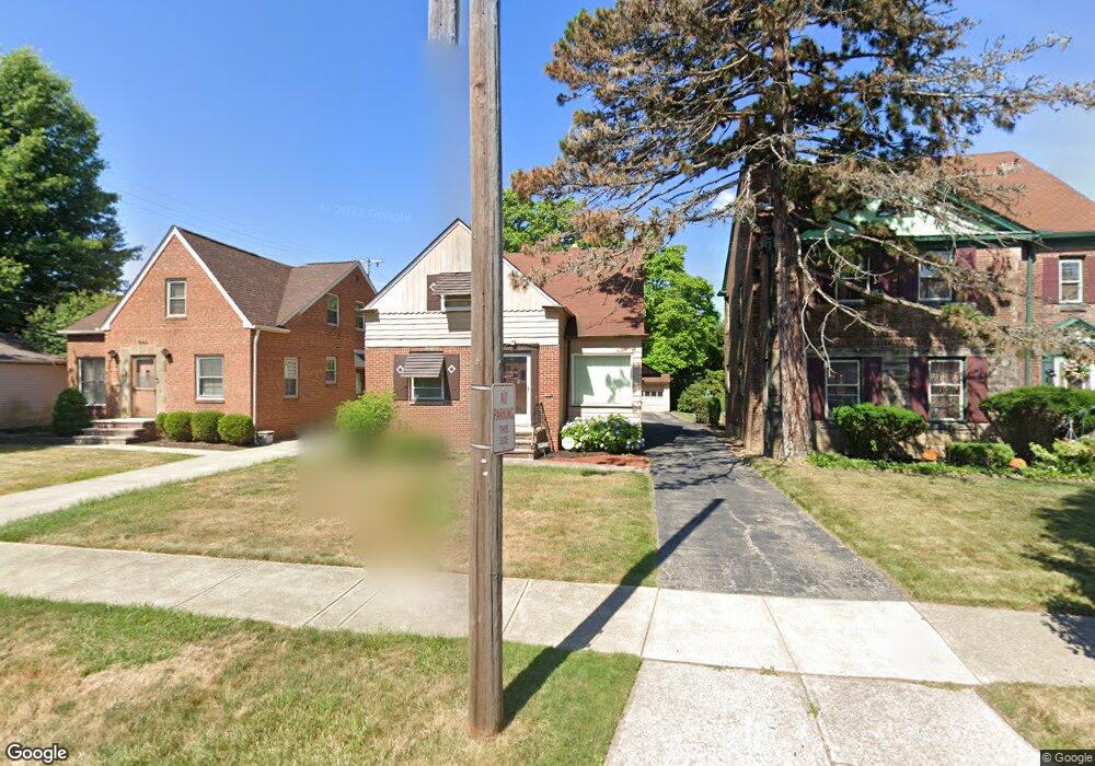
1936 Powell Ave Cleveland Heights, OH 44118
Estimated Value: $157,165 - $184,000
2
Beds
1
Bath
1,227
Sq Ft
$137/Sq Ft
Est. Value
About This Home
This home is located at 1936 Powell Ave, Cleveland Heights, OH 44118 and is currently estimated at $168,041, approximately $136 per square foot. 1936 Powell Ave is a home located in Cuyahoga County with nearby schools including Canterbury Elementary School, Roxboro Middle School, and Cleveland Heights High School.
Ownership History
Date
Name
Owned For
Owner Type
Purchase Details
Closed on
Dec 7, 2012
Sold by
Estate Of Maurice Gilmore Sr
Bought by
Gilmore Bertha
Current Estimated Value
Purchase Details
Closed on
Feb 26, 2007
Sold by
Gilmore Maurice
Bought by
Gilmore Maurice and Elder Erick
Home Financials for this Owner
Home Financials are based on the most recent Mortgage that was taken out on this home.
Original Mortgage
$90,000
Interest Rate
6.4%
Mortgage Type
New Conventional
Purchase Details
Closed on
Sep 11, 1987
Sold by
Finger Harold and Finger Dorothy
Bought by
Gilmore Maurice
Purchase Details
Closed on
Feb 2, 1984
Sold by
Finger Harold
Bought by
Finger Harold and Finger Dorothy
Purchase Details
Closed on
May 17, 1978
Sold by
Finger Dorothy
Bought by
Finger Harold
Purchase Details
Closed on
Jan 1, 1975
Bought by
Finger Dorothy
Create a Home Valuation Report for This Property
The Home Valuation Report is an in-depth analysis detailing your home's value as well as a comparison with similar homes in the area
Home Values in the Area
Average Home Value in this Area
Purchase History
| Date | Buyer | Sale Price | Title Company |
|---|---|---|---|
| Gilmore Bertha | -- | None Available | |
| Gilmore Maurice | -- | None Available | |
| Gilmore Maurice | $52,500 | -- | |
| Finger Harold | -- | -- | |
| Finger Harold | -- | -- | |
| Finger Dorothy | -- | -- |
Source: Public Records
Mortgage History
| Date | Status | Borrower | Loan Amount |
|---|---|---|---|
| Previous Owner | Gilmore Maurice | $90,000 |
Source: Public Records
Tax History Compared to Growth
Tax History
| Year | Tax Paid | Tax Assessment Tax Assessment Total Assessment is a certain percentage of the fair market value that is determined by local assessors to be the total taxable value of land and additions on the property. | Land | Improvement |
|---|---|---|---|---|
| 2024 | $4,315 | $50,750 | $11,410 | $39,340 |
| 2023 | $4,678 | $43,060 | $9,350 | $33,710 |
| 2022 | $4,654 | $43,050 | $9,350 | $33,710 |
| 2021 | $4,559 | $43,050 | $9,350 | $33,710 |
| 2020 | $4,076 | $34,720 | $7,530 | $27,200 |
| 2019 | $3,851 | $99,200 | $21,500 | $77,700 |
| 2018 | $3,685 | $34,720 | $7,530 | $27,200 |
| 2017 | $3,715 | $31,120 | $6,650 | $24,470 |
| 2016 | $3,708 | $31,120 | $6,650 | $24,470 |
| 2015 | $3,772 | $31,120 | $6,650 | $24,470 |
| 2014 | $3,772 | $33,460 | $7,140 | $26,320 |
Source: Public Records
Map
Nearby Homes
- 1924 Janette Ave
- 3496 Blanche Ave
- 3498 Cummings Rd
- 3484 Bainbridge Rd
- 3566 Antisdale Ave
- 3575 Grosvenor Rd
- 3599 Blanche Ave
- 3484 Berkeley Rd
- 3521 Berkeley Rd
- 3559 Berkeley Rd
- 3623 Bainbridge Rd
- 3631 Cummings Rd
- 2083 Wynn Rd Unit 3
- 3537 Shannon Rd
- 1913 Staunton Rd
- 2085 Wynn Rd Unit 2
- Unit 3 Plan at South Taylor Place
- 2087 Wynn Rd Unit 1
- Units 1 & 2 Plan at South Taylor Place
- 3525 Raymont Blvd
- 1932 Powell Ave
- 1940 Powell Ave
- 1928 Powell Ave
- 3503 Antisdale Ave
- 3507 Antisdale Ave
- 1924 Powell Ave
- 1920 Powell Ave
- 3517 Antisdale Ave
- 1937 Powell Ave
- 1933 Powell Ave
- 1941 Powell Ave
- 1916 Powell Ave
- 1927 Powell Ave
- 1923 Powell Ave
- 3521 Antisdale Ave
- 1910 Powell Ave
- 1919 Powell Ave
- 3525 Antisdale Ave
- 1915 Powell Ave
- 1908 Powell Ave