Estimated Value: $389,486
Studio
--
Bath
--
Sq Ft
97,139
Sq Ft Lot
About This Home
This home is located at 1936 Springbrook Rd, Omro, WI 54963 and is currently estimated at $389,486. 1936 Springbrook Rd is a home located in Winnebago County with nearby schools including Patch Elementary School, Omro Elementary School, and Omro Middle School.
Ownership History
Date
Name
Owned For
Owner Type
Purchase Details
Closed on
May 27, 2005
Sold by
Co Vgh Development Inc
Bought by
Tisinai Cynthia A
Current Estimated Value
Home Financials for this Owner
Home Financials are based on the most recent Mortgage that was taken out on this home.
Original Mortgage
$167,200
Outstanding Balance
$88,130
Interest Rate
5.91%
Mortgage Type
Future Advance Clause Open End Mortgage
Estimated Equity
$301,356
Create a Home Valuation Report for This Property
The Home Valuation Report is an in-depth analysis detailing your home's value as well as a comparison with similar homes in the area
Home Values in the Area
Average Home Value in this Area
Purchase History
| Date | Buyer | Sale Price | Title Company |
|---|---|---|---|
| Tisinai Cynthia A | $176,000 | None Available |
Source: Public Records
Mortgage History
| Date | Status | Borrower | Loan Amount |
|---|---|---|---|
| Open | Tisinai Cynthia A | $167,200 |
Source: Public Records
Tax History
| Year | Tax Paid | Tax Assessment Tax Assessment Total Assessment is a certain percentage of the fair market value that is determined by local assessors to be the total taxable value of land and additions on the property. | Land | Improvement |
|---|---|---|---|---|
| 2024 | $2,820 | $149,000 | $43,800 | $105,200 |
| 2023 | $2,598 | $149,000 | $43,800 | $105,200 |
| 2022 | $2,669 | $149,000 | $43,800 | $105,200 |
| 2021 | $2,611 | $149,000 | $43,800 | $105,200 |
| 2020 | $2,571 | $115,700 | $24,500 | $91,200 |
| 2019 | $2,535 | $115,700 | $24,500 | $91,200 |
| 2018 | $2,626 | $115,700 | $24,500 | $91,200 |
| 2017 | $2,553 | $115,700 | $24,500 | $91,200 |
| 2016 | $2,425 | $115,700 | $24,500 | $91,200 |
| 2015 | $1,919 | $115,700 | $24,500 | $91,200 |
| 2014 | -- | $115,700 | $24,500 | $91,200 |
| 2013 | -- | $115,700 | $24,500 | $91,200 |
Source: Public Records
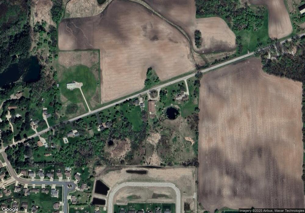
Map
Nearby Homes
- 336 Wintergreen Dr
- 320 Lincoln Ave
- 336 Mckinley Ave
- 651 E River Dr
- 613 Mckinley Ave
- 730 E Scott St
- 861 Carissa Ct
- 351 E Scott St
- 224 E Scott St
- 0 Poygan Rd
- 523 Michigan St
- 5987 County Rd E
- 0 County Rd E Unit 50318875
- 1 Reighmoor Rd
- 5294 Notre Dame Dr
- 5316 Cornhusk Ln
- 5340 Wisconsin 21
- 5304 Fenceline Ln
- 5289 Cornhusk Ln
- 0 Cornhusk Ln
- 1914 Springbrook Rd
- 1850 Springbrook Rd
- 1980 Springbrook Rd
- 1820 Springbrook Rd
- 1841 Springbrook Rd
- 0 Brooke Dr Unit 50080644
- 0 Brooke Dr Unit 50314034
- 0 Brooke Dr Unit 50311891
- 0 Brooke Dr Unit 36798450
- 0 Brooke Dr Unit 36798446
- 0 Brooke Dr Unit 36798440
- 0 Brooke Dr Unit 36771135
- 0 Brooke Dr Unit 50311767
- 1807 Justin Dr
- 1780 Springbrook Rd
- 1773 Springbrook Rd
- 1797 Justin Dr Unit 2
- 1785 Justin Dr
- 1927 Justin Dr
- 1919 Justin Dr
Your Personal Tour Guide
Ask me questions while you tour the home.