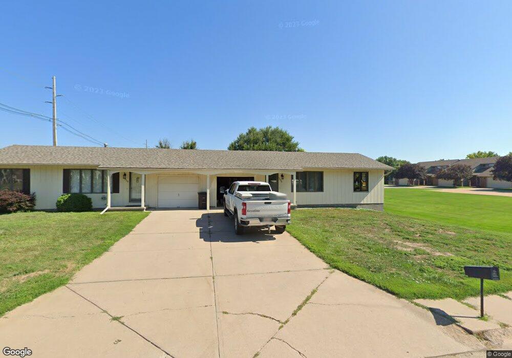
1936 W 14th St Unit 1938 Hastings, NE 68901
Estimated Value: $175,000 - $207,460
4
Beds
3
Baths
1,612
Sq Ft
$118/Sq Ft
Est. Value
About This Home
This home is located at 1936 W 14th St Unit 1938, Hastings, NE 68901 and is currently estimated at $189,865, approximately $117 per square foot. 1936 W 14th St Unit 1938 is a home located in Adams County with nearby schools including Hastings Senior High School.
Ownership History
Date
Name
Owned For
Owner Type
Purchase Details
Closed on
Mar 20, 2023
Sold by
Vanskiver Bonnie
Bought by
Parklane Apartment Llc
Current Estimated Value
Home Financials for this Owner
Home Financials are based on the most recent Mortgage that was taken out on this home.
Original Mortgage
$130,000
Outstanding Balance
$126,056
Interest Rate
6.32%
Mortgage Type
Credit Line Revolving
Estimated Equity
$63,809
Purchase Details
Closed on
Jun 5, 2008
Sold by
Skiver Todd J Van and Skiver Anne Van
Bought by
Quality Qtrs Llc
Create a Home Valuation Report for This Property
The Home Valuation Report is an in-depth analysis detailing your home's value as well as a comparison with similar homes in the area
Home Values in the Area
Average Home Value in this Area
Purchase History
| Date | Buyer | Sale Price | Title Company |
|---|---|---|---|
| Parklane Apartment Llc | $65,000 | Prairie Title | |
| Parklane Apartment Llc | $33,000 | Prairie Title | |
| Quality Qtrs Llc | -- | None Available |
Source: Public Records
Mortgage History
| Date | Status | Borrower | Loan Amount |
|---|---|---|---|
| Open | Parklane Apartment Llc | $130,000 |
Source: Public Records
Tax History Compared to Growth
Tax History
| Year | Tax Paid | Tax Assessment Tax Assessment Total Assessment is a certain percentage of the fair market value that is determined by local assessors to be the total taxable value of land and additions on the property. | Land | Improvement |
|---|---|---|---|---|
| 2024 | $2,240 | $139,082 | $31,200 | $107,882 |
| 2023 | $2,588 | $125,418 | $31,200 | $94,218 |
| 2022 | $2,526 | $112,120 | $31,200 | $80,920 |
| 2021 | $2,402 | $109,520 | $28,600 | $80,920 |
| 2020 | $2,362 | $109,520 | $28,600 | $80,920 |
| 2019 | $2,336 | $109,520 | $28,600 | $80,920 |
| 2018 | $2,349 | $109,520 | $41,585 | $67,935 |
| 2017 | $2,318 | $108,190 | $0 | $0 |
| 2016 | $2,320 | $108,190 | $41,585 | $66,605 |
| 2011 | -- | $108,190 | $37,360 | $70,830 |
Source: Public Records
Map
Nearby Homes
- 1402 Arapahoe Ave
- 1314 N Laird Ave
- 1802 Westchester Dr
- 1225 Heritage Dr
- 1330 Heritage Dr
- 1513 Crane Ave
- 1505 Crane Ave
- 1201 Pershing Rd
- 2616 Butterfoot Ln
- 1223 Westwood Terrace
- 1911 W 11th St
- 2708 Edgewood Ln
- 2330 W 11th St
- 2501 W 10th St
- 2416 W 9th St
- 1814 Boyce St
- 1108 N Baltimore Ave
- 1334 W 12th St
- 736 N Barnes Ave
- 904 N Washington Ave
- 1406 Crane Ave
- 1330 Crane Ave
- 1424 Crane Ave
- 2000 W 14th St
- 1413 Crane Ave
- 1910 W 14th St Unit 1
- 1335 Regency Dr
- 1912 W 14th St Unit 2
- 1324 Crane Ave
- 1914 W 14th St
- 1916 W 14th St Unit 4
- 1331 Crane Ave
- 1402 Apache Ave
- 1406 Apache Ave
- 1325 Regency Dr
- 1340 Apache Ave
- 1318 Crane Ave
- 1323 Crane Ave
- 1414 Apache Ave
- 1929 Westchester Dr