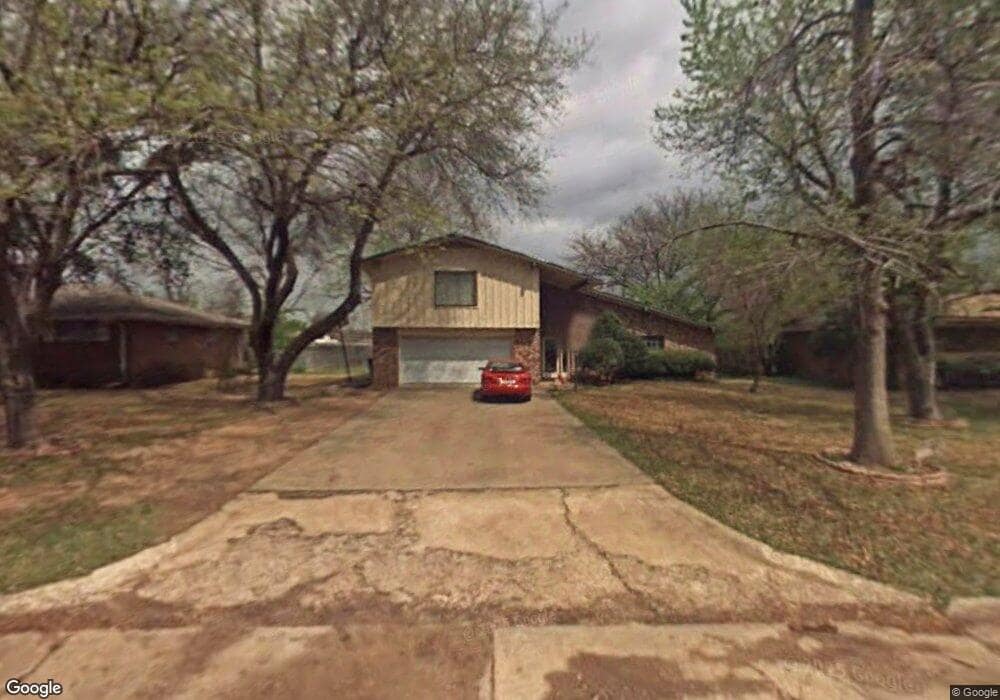
1936 W Locust St Durant, OK 74701
Estimated Value: $176,000 - $297,000
4
Beds
2
Baths
2,464
Sq Ft
$95/Sq Ft
Est. Value
About This Home
This home is located at 1936 W Locust St, Durant, OK 74701 and is currently estimated at $234,010, approximately $94 per square foot. 1936 W Locust St is a home located in Bryan County with nearby schools including Northwest Heights Elementary School, Durant Intermediate Elementary School, and Durant Middle School.
Ownership History
Date
Name
Owned For
Owner Type
Purchase Details
Closed on
Sep 30, 2002
Sold by
Gilbert Jerry and Gilbert Phyllis
Bought by
Ellis Mark A and Ellis Cynthia L
Current Estimated Value
Purchase Details
Closed on
Aug 1, 2000
Sold by
Finley Michael and Finley Kelley
Bought by
Gilbert Jerry and Gilbert Phyllis
Purchase Details
Closed on
Jan 1, 1996
Sold by
Phh Home Quity Corp
Bought by
Finley Michael and Finley Kelley
Create a Home Valuation Report for This Property
The Home Valuation Report is an in-depth analysis detailing your home's value as well as a comparison with similar homes in the area
Purchase History
| Date | Buyer | Sale Price | Title Company |
|---|---|---|---|
| Ellis Mark A | $114,500 | -- | |
| Gilbert Jerry | $97,500 | -- | |
| Finley Michael | $67,000 | -- |
Source: Public Records
Tax History
| Year | Tax Paid | Tax Assessment Tax Assessment Total Assessment is a certain percentage of the fair market value that is determined by local assessors to be the total taxable value of land and additions on the property. | Land | Improvement |
|---|---|---|---|---|
| 2025 | $1,315 | $14,926 | $903 | $14,023 |
| 2024 | $1,314 | $14,491 | $903 | $13,588 |
| 2023 | $1,314 | $14,069 | $903 | $13,166 |
| 2022 | $1,188 | $13,659 | $903 | $12,756 |
| 2021 | $1,179 | $13,262 | $903 | $12,359 |
| 2020 | $1,141 | $12,876 | $903 | $11,973 |
| 2019 | $1,043 | $12,501 | $903 | $11,598 |
| 2018 | $1,168 | $13,996 | $3,137 | $10,859 |
| 2017 | $1,160 | $13,996 | $3,137 | $10,859 |
| 2016 | $1,170 | $13,996 | $3,137 | $10,859 |
| 2015 | $1,097 | $13,225 | $1,650 | $11,575 |
| 2014 | $1,096 | $13,225 | $1,650 | $11,575 |
Source: Public Records
Map
Nearby Homes
- 617 N 18th Ave
- 1822 W Elm St
- 1702 Maple St
- 1524 Maple St
- 19 Sawyer Ln
- 1723 W Cedar St
- 1819 W Evergreen St
- 597 Edgewood Cir
- 1622 W Main St
- 0 Criswell Blvd Unit 2526619
- 3507 W Arkansas St
- 318 N Washington Ave
- 2086 N Ranchette
- 1412 Houston St
- 1420 Baltimore St
- 1418 Baltimore St
- 1325 Houston St
- 1419 W University Blvd
- 1223 Grand Ave
- 3224 Seabiscuit St
- 1920 W Locust St
- 1938 W Locust St
- 1907 Parkway Cir
- 707 N 19th Ave
- 1911 Parkway Cir
- 1942 W Locust St
- 1933 W Locust St
- 701 N 19th Ave
- 1927 W Locust St
- 1927 W Locust St
- 1939 W Locust St
- 711 N 19th Ave
- 723 N 19th Ave
- 1921 W Locust St
- 1913 Parkway Cir
- 619 N 19th Ave
- 1941 W Locust St
- 2002 W Locust St
- 613 N 19th Ave
- 1908 Parkway Cir
Your Personal Tour Guide
Ask me questions while you tour the home.