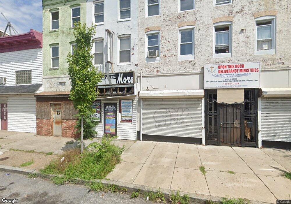
1936 W Pratt St Baltimore, MD 21223
Mount Clare NeighborhoodEstimated Value: $591,696
--
Bed
--
Bath
1,680
Sq Ft
$352/Sq Ft
Est. Value
About This Home
This home is located at 1936 W Pratt St, Baltimore, MD 21223 and is currently estimated at $591,696, approximately $352 per square foot. 1936 W Pratt St is a home located in Baltimore City with nearby schools including Booker T. Washington Middle School, Frederick Douglass High School, and Digital Harbor High School.
Ownership History
Date
Name
Owned For
Owner Type
Purchase Details
Closed on
Feb 22, 2022
Sold by
Tark Development Llc
Bought by
N'S Property Management Llc
Current Estimated Value
Purchase Details
Closed on
Jun 15, 2021
Sold by
City Council Of Baltimore
Bought by
Tark Development Llc
Purchase Details
Closed on
Sep 29, 2020
Sold by
Tark Development Llc
Bought by
Mack Carolyn and Mack Daryell
Purchase Details
Closed on
Oct 26, 2011
Sold by
Mars Llc
Bought by
Ayazi Abdullah
Purchase Details
Closed on
Mar 30, 2005
Sold by
Forrest Robert E
Bought by
Mars Llc
Purchase Details
Closed on
Oct 29, 2004
Sold by
Forrest Robert E
Bought by
Mars Llc
Create a Home Valuation Report for This Property
The Home Valuation Report is an in-depth analysis detailing your home's value as well as a comparison with similar homes in the area
Home Values in the Area
Average Home Value in this Area
Purchase History
| Date | Buyer | Sale Price | Title Company |
|---|---|---|---|
| N'S Property Management Llc | $31,500 | None Listed On Document | |
| Tark Development Llc | $8,008 | Onwuanible Anthony C | |
| Tark Development Llc | $8,008 | None Listed On Document | |
| Mack Carolyn | $22,000 | Golden Trust Title | |
| Mack Carolyn | $22,000 | Golden Trust Title | |
| Ayazi Abdullah | $5,000 | Stewart Title Guaranty Compa | |
| Mars Llc | $200,000 | -- | |
| Mars Llc | $200,000 | -- |
Source: Public Records
Tax History Compared to Growth
Tax History
| Year | Tax Paid | Tax Assessment Tax Assessment Total Assessment is a certain percentage of the fair market value that is determined by local assessors to be the total taxable value of land and additions on the property. | Land | Improvement |
|---|---|---|---|---|
| 2025 | $1,059 | $47,633 | -- | -- |
| 2024 | $1,059 | $45,067 | $0 | $0 |
| 2023 | $998 | $42,500 | $7,200 | $35,300 |
| 2022 | $988 | $41,867 | $0 | $0 |
| 2021 | $973 | $41,233 | $0 | $0 |
| 2020 | $958 | $40,600 | $7,200 | $33,400 |
| 2019 | $943 | $40,167 | $0 | $0 |
| 2018 | $938 | $39,733 | $0 | $0 |
| 2017 | $927 | $39,300 | $0 | $0 |
| 2016 | $1,284 | $38,600 | $0 | $0 |
| 2015 | $1,284 | $37,900 | $0 | $0 |
| 2014 | $1,284 | $37,200 | $0 | $0 |
Source: Public Records
Map
Nearby Homes
- 1933 W Pratt St
- 1917 Lemmon St
- 2001 W Pratt St
- 103 S Payson St
- 101 S Payson St
- 302 S Payson St
- 202 Harmison St
- 1824 Dover St
- 318 S Payson St
- 2011 Mchenry St
- 1822 Dover St
- 1820 Dover St
- 207 S Pulaski St
- 2032 W Pratt St
- 1835 Mchenry St
- 328 S Payson St
- 1928 Frederick Ave
- 1910 Ramsay St
- 338 S Payson St
- 1912 Frederick Ave
- 1938 W Pratt St
- 1930 W Pratt St
- 1940 W Pratt St
- 1928 W Pratt St Unit 1/2
- 1928 W Pratt St
- 1944 W Pratt St
- 1933 Lemmon St
- 1935 Lemmon St
- 1931 Lemmon St
- 1929 Lemmon St
- 1937 Lemmon St
- 1927 Lemmon St
- 1939 Lemmon St
- 1948 W Pratt St
- 1950 W Pratt St
- 1925 Lemmon St
- 129 S Payson St
- 127 S Payson St
- 1924 W Pratt St
- 125 S Payson St