19365 Brookside Way Bend, OR 97702
Century West NeighborhoodEstimated Value: $967,000 - $1,349,000
4
Beds
3
Baths
2,740
Sq Ft
$401/Sq Ft
Est. Value
About This Home
This home is located at 19365 Brookside Way, Bend, OR 97702 and is currently estimated at $1,098,234, approximately $400 per square foot. 19365 Brookside Way is a home located in Deschutes County with nearby schools including William E. Miller Elementary School, Cascade Middle School, and Summit High School.
Ownership History
Date
Name
Owned For
Owner Type
Purchase Details
Closed on
Nov 8, 2006
Sold by
Horton Daniel T and Horton Jeannie
Bought by
Schaffer Kevin T and Schaffer Gretchen L
Current Estimated Value
Home Financials for this Owner
Home Financials are based on the most recent Mortgage that was taken out on this home.
Original Mortgage
$495,200
Outstanding Balance
$292,874
Interest Rate
6.3%
Mortgage Type
Unknown
Estimated Equity
$805,360
Purchase Details
Closed on
Sep 23, 2005
Sold by
Massey James T and Bangs Leslee J
Bought by
Horton Daniel T and Horton Jeannie
Home Financials for this Owner
Home Financials are based on the most recent Mortgage that was taken out on this home.
Original Mortgage
$341,200
Interest Rate
5.72%
Mortgage Type
Fannie Mae Freddie Mac
Create a Home Valuation Report for This Property
The Home Valuation Report is an in-depth analysis detailing your home's value as well as a comparison with similar homes in the area
Home Values in the Area
Average Home Value in this Area
Purchase History
| Date | Buyer | Sale Price | Title Company |
|---|---|---|---|
| Schaffer Kevin T | $619,000 | Western Title & Escrow Co | |
| Horton Daniel T | -- | Amerititle |
Source: Public Records
Mortgage History
| Date | Status | Borrower | Loan Amount |
|---|---|---|---|
| Open | Schaffer Kevin T | $495,200 | |
| Previous Owner | Horton Daniel T | $341,200 |
Source: Public Records
Tax History
| Year | Tax Paid | Tax Assessment Tax Assessment Total Assessment is a certain percentage of the fair market value that is determined by local assessors to be the total taxable value of land and additions on the property. | Land | Improvement |
|---|---|---|---|---|
| 2025 | $8,227 | $486,910 | -- | -- |
| 2024 | $7,915 | $472,730 | -- | -- |
| 2023 | $7,337 | $458,970 | $0 | $0 |
| 2022 | $6,846 | $432,640 | $0 | $0 |
| 2021 | $6,856 | $420,040 | $0 | $0 |
| 2020 | $6,505 | $420,040 | $0 | $0 |
| 2019 | $6,323 | $407,810 | $0 | $0 |
| 2018 | $6,145 | $395,940 | $0 | $0 |
| 2017 | $6,031 | $384,410 | $0 | $0 |
| 2016 | $5,754 | $373,220 | $0 | $0 |
| 2015 | $5,597 | $362,350 | $0 | $0 |
| 2014 | $5,434 | $351,800 | $0 | $0 |
Source: Public Records
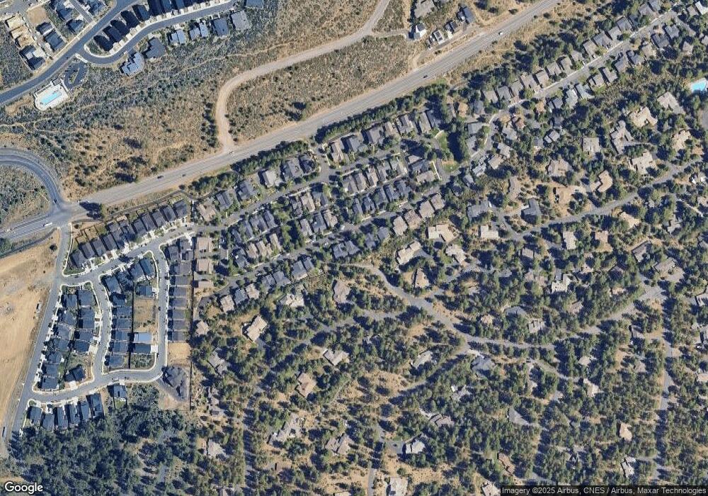
Map
Nearby Homes
- 19318 SW Marshmallow Place
- 61185 SW Beverly Way
- 61182 SW Tippytoe Place
- 61152 SW Beverly Way
- 0 Outrider Loop Unit 32 220195539
- 61250 Meeks Trail
- 19476 SW Century Dr Unit 1 & 2
- 19476 SW Century Dr
- 61192 SW Tall Timber Ct
- 19504 SW Century Dr
- 61309 Howe Way
- 61318 Tetherow Vista Dr
- 19520 SW Century Dr
- 61354 Lost Hollow Loop
- 19550 Brookside Way
- 61354 Triple Knot Rd
- 19224 Solomon Dr
- 61358 Kindle Rock Loop
- 61254 Meeks Trail
- 61389 Campbell Ct
- 19371 Brookside Way
- 19359 Brookside Way
- 19377 Brookside Way
- 19360 Brookside Way
- 19372 Brookside Way
- 19354 Brookside Way
- 19347 Brookside Way
- 19378 Brookside Way
- 19456 Sunshine Way
- 61177 River Bluff Trail
- 19383 Brookside Way
- 61177 Riverbluff Trail
- 19348 Brookside Way
- 19384 Brookside Way
- 19365 SW Laurelhurst Way
- 19341 Brookside Way
- 19373 SW Laurelhurst Way
- 19365 S West Laurelhurst Way
- 19395 Brookside Way
- 19388 Brookside Way
Your Personal Tour Guide
Ask me questions while you tour the home.