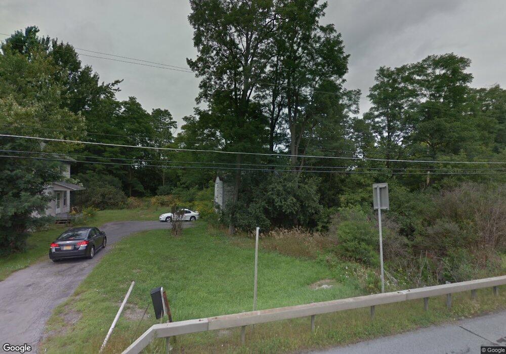
19365 State Route 12f Dexter, NY 13634
Estimated Value: $322,000 - $363,000
4
Beds
2
Baths
2,398
Sq Ft
$146/Sq Ft
Est. Value
About This Home
This home is located at 19365 State Route 12f, Dexter, NY 13634 and is currently estimated at $349,596, approximately $145 per square foot. 19365 State Route 12f is a home located in Jefferson County with nearby schools including General Brown Junior/Senior High School, St. Anthony S School, and St. Patrick's School.
Ownership History
Date
Name
Owned For
Owner Type
Purchase Details
Closed on
Oct 20, 2023
Sold by
Gries Peter W
Bought by
Sherburne Kristin
Current Estimated Value
Purchase Details
Closed on
Jul 19, 2022
Sold by
County Of Jefferson
Bought by
Sherburne Kristin
Purchase Details
Closed on
Jun 24, 2022
Sold by
Jefferson County Of
Bought by
Rehley Jeffrey L and Paulsen David J
Purchase Details
Closed on
Jul 25, 2000
Sold by
Hart William G
Bought by
Mott Daniel A
Create a Home Valuation Report for This Property
The Home Valuation Report is an in-depth analysis detailing your home's value as well as a comparison with similar homes in the area
Home Values in the Area
Average Home Value in this Area
Purchase History
| Date | Buyer | Sale Price | Title Company |
|---|---|---|---|
| Sherburne Kristin | $3,000 | None Listed On Document | |
| Sherburne Kristin | $32,000 | None Listed On Document | |
| Rehley Jeffrey L | -- | None Available | |
| Mott Daniel A | $40,000 | Deanna R Nelson |
Source: Public Records
Tax History Compared to Growth
Tax History
| Year | Tax Paid | Tax Assessment Tax Assessment Total Assessment is a certain percentage of the fair market value that is determined by local assessors to be the total taxable value of land and additions on the property. | Land | Improvement |
|---|---|---|---|---|
| 2024 | $4,467 | $297,400 | $66,900 | $230,500 |
| 2023 | $3,249 | $189,100 | $77,000 | $112,100 |
| 2022 | $2,768 | $126,300 | $45,000 | $81,300 |
| 2021 | $2,717 | $126,300 | $45,000 | $81,300 |
| 2020 | $5,167 | $126,300 | $45,000 | $81,300 |
| 2019 | $3,872 | $126,300 | $45,000 | $81,300 |
| 2018 | $3,872 | $126,300 | $45,000 | $81,300 |
| 2017 | $3,547 | $126,300 | $45,000 | $81,300 |
| 2016 | $3,120 | $126,300 | $45,000 | $81,300 |
| 2015 | -- | $126,300 | $45,000 | $81,300 |
| 2014 | -- | $126,300 | $45,000 | $81,300 |
Source: Public Records
Map
Nearby Homes
- 219-221 W Main St
- 218 E Main St
- 115 Patrician Ln
- 118 Patrician Ln
- 205 Pike St
- 0 Bonney Rd Unit S1642943
- 0 Middle Rd Unit S1617700
- 213 Pike St
- 109 St Lawrence Ave W
- 305 Washington St
- 104 Brown Rd
- 20009 State Route 12f
- 24142 County Route 54
- 20010 New York 12f
- 21429 Old Rome State Rd Unit 61
- 518 Main St
- 514 Main St
- 408 Main St
- 18916 State Route 3
- 20207 Reasoner Rd
- 19372 State Route 12f
- 19316 State Route 12f
- 19438 State Route 12f
- 19312 State Route 12f
- 19278 State Route 12f
- 19404 State Route 12f
- 19468 State Route 12f
- 19231 State Route 12f
- 20077 Evans Rd
- 219 W Main St
- 219 W Main St
- 100 Storehouse St
- 233 W Main St
- 211 W Main St
- 215 W Main St
- 19989 Evans Rd
- 223 W Main St
- 201 W Main St
- 20100 Evans Rd
- 203 W Main St
