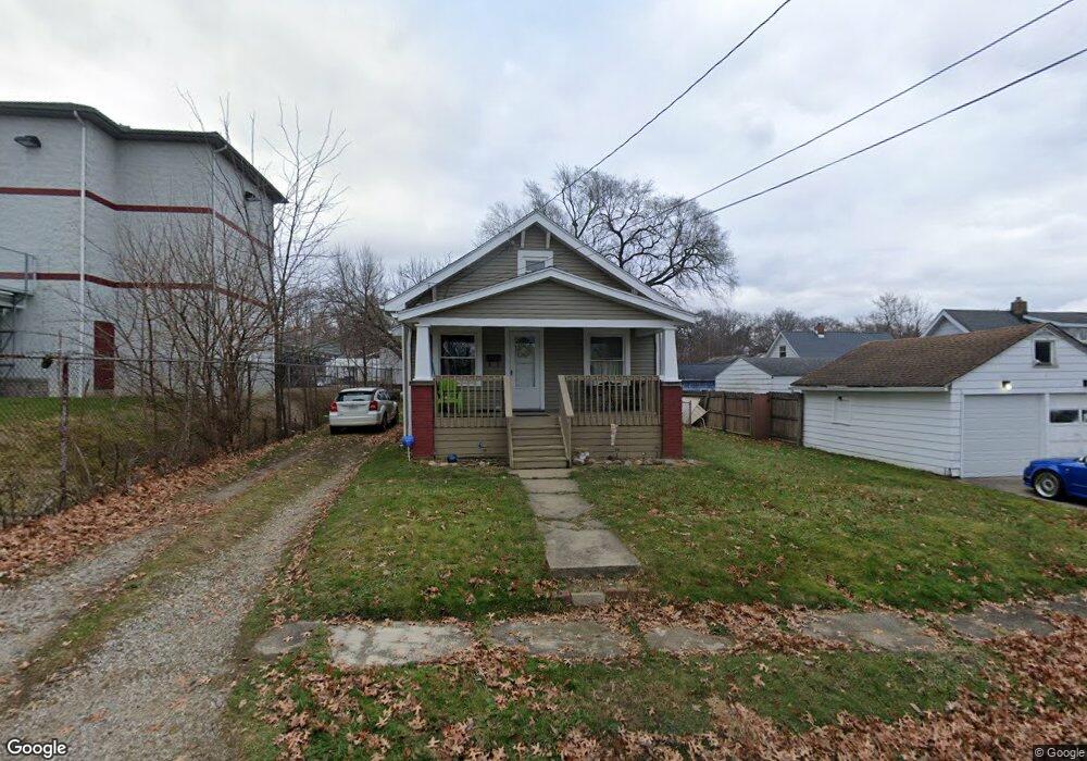
1937 11th St SW Akron, OH 44314
Kenmore NeighborhoodEstimated Value: $79,286 - $102,000
3
Beds
1
Bath
704
Sq Ft
$130/Sq Ft
Est. Value
About This Home
This home is located at 1937 11th St SW, Akron, OH 44314 and is currently estimated at $91,822, approximately $130 per square foot. 1937 11th St SW is a home located in Summit County with nearby schools including Pfeiffer Elementary School, Kenmore Garfield Community Learning Center, and Emmanuel Christian Academy.
Ownership History
Date
Name
Owned For
Owner Type
Purchase Details
Closed on
Jul 5, 2018
Sold by
Lott Kenneth J and Lott Peggy A
Bought by
Lott William T and Snell Suzanne M
Current Estimated Value
Purchase Details
Closed on
Nov 16, 2005
Sold by
Garrett William E and Garrett Violet Jean
Bought by
Lott Kenneth J and Lott Peggy A
Create a Home Valuation Report for This Property
The Home Valuation Report is an in-depth analysis detailing your home's value as well as a comparison with similar homes in the area
Home Values in the Area
Average Home Value in this Area
Purchase History
| Date | Buyer | Sale Price | Title Company |
|---|---|---|---|
| Lott William T | -- | None Available | |
| Lott Kenneth J | $24,000 | Approved Statewide Title |
Source: Public Records
Tax History Compared to Growth
Tax History
| Year | Tax Paid | Tax Assessment Tax Assessment Total Assessment is a certain percentage of the fair market value that is determined by local assessors to be the total taxable value of land and additions on the property. | Land | Improvement |
|---|---|---|---|---|
| 2025 | $1,255 | $22,827 | $6,818 | $16,009 |
| 2024 | $1,255 | $22,827 | $6,818 | $16,009 |
| 2023 | $1,255 | $22,827 | $6,818 | $16,009 |
| 2022 | $1,060 | $15,019 | $4,487 | $10,532 |
| 2021 | $1,061 | $15,019 | $4,487 | $10,532 |
| 2020 | $1,045 | $15,020 | $4,490 | $10,530 |
| 2019 | $842 | $10,840 | $4,260 | $6,580 |
| 2018 | $831 | $10,840 | $4,260 | $6,580 |
| 2017 | $979 | $10,840 | $4,260 | $6,580 |
| 2016 | $980 | $12,700 | $4,940 | $7,760 |
| 2015 | $979 | $12,700 | $4,940 | $7,760 |
| 2014 | $972 | $12,700 | $4,940 | $7,760 |
| 2013 | $1,011 | $13,530 | $4,940 | $8,590 |
Source: Public Records
Map
Nearby Homes
- 1975 9th St SW
- 1940 8th St SW
- 2001 13th St SW
- 2016 13th St SW
- 639 Chester Ave
- 2041 13th St SW
- 2045 9th St SW
- 918 Silvercrest Ave
- 1899 16th St SW
- 773 Montana Ave
- 1702 Leighton Ave
- 741 Jason Ave
- 2086 13th St SW
- 788 Saxon Ave
- 2104 11th St SW
- 622 Polk Ave
- 898 Iona Ave
- 1734 Manchester Rd
- 2137 12th St SW
- 1855 17th St SW
- 795 Silvercrest Ave
- 799 Silvercrest Ave
- 791 Silvercrest Ave
- 785 Silvercrest Ave
- 1950 11th St SW
- 1938 11th St SW
- 817 Silvercrest Ave
- 773 Silvercrest Ave
- 794 Silvercrest Ave
- 798 Silvercrest Ave
- 804 Silvercrest Ave
- 790 Silvercrest Ave
- 1939 12th St SW
- 821 Silvercrest Ave
- 808 Silvercrest Ave
- 784 Silvercrest Ave
- 814 Silvercrest Ave
- 767 Silvercrest Ave
- 780 Silvercrest Ave
- 818 Silvercrest Ave