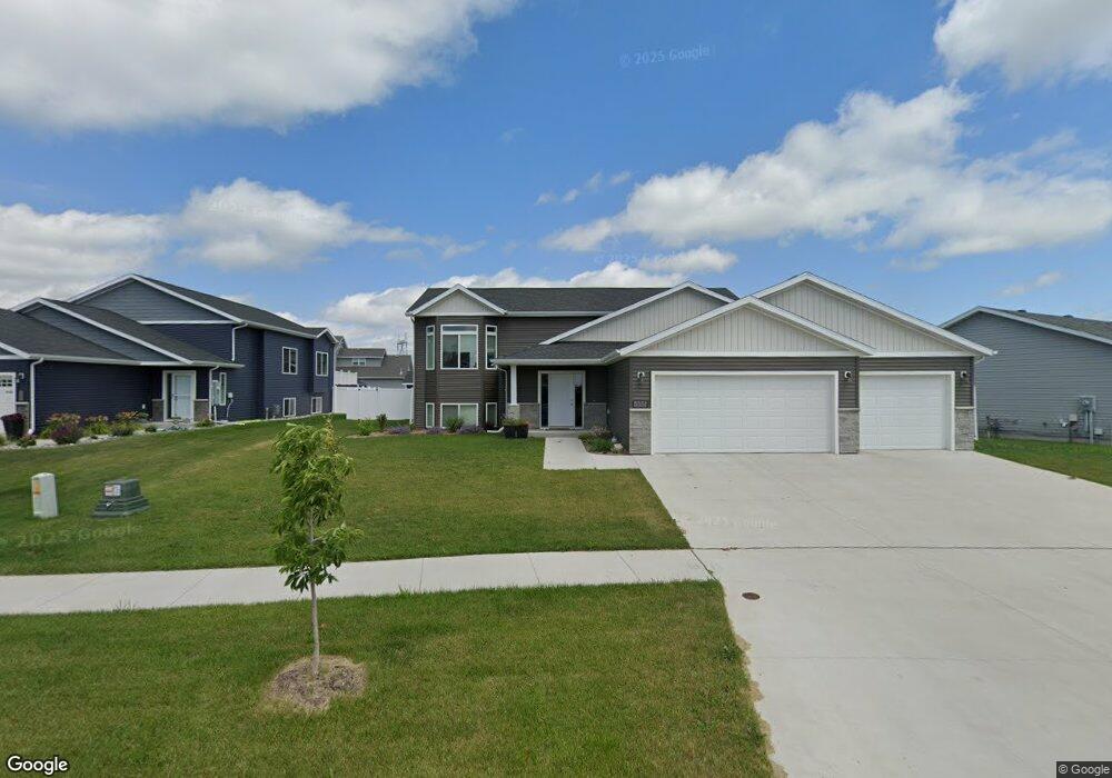
1937 67th Ave S Fargo, ND 58104
Davies NeighborhoodEstimated Value: $389,000 - $431,000
4
Beds
3
Baths
2,514
Sq Ft
$166/Sq Ft
Est. Value
About This Home
This home is located at 1937 67th Ave S, Fargo, ND 58104 and is currently estimated at $416,795, approximately $165 per square foot. 1937 67th Ave S is a home located in Cass County with nearby schools including Bennett Elementary School, Discovery Middle School, and Fargo Davies High School.
Ownership History
Date
Name
Owned For
Owner Type
Purchase Details
Closed on
Feb 25, 2022
Sold by
Dakota Developments Corporation Inc
Bought by
Hellman Jace M and Hellman Abigail A
Current Estimated Value
Home Financials for this Owner
Home Financials are based on the most recent Mortgage that was taken out on this home.
Original Mortgage
$303,920
Outstanding Balance
$282,750
Interest Rate
3.55%
Mortgage Type
New Conventional
Estimated Equity
$134,045
Create a Home Valuation Report for This Property
The Home Valuation Report is an in-depth analysis detailing your home's value as well as a comparison with similar homes in the area
Home Values in the Area
Average Home Value in this Area
Purchase History
| Date | Buyer | Sale Price | Title Company |
|---|---|---|---|
| Hellman Jace M | -- | The Title Company | |
| Hellman Jace M | $379,900 | The Title Company |
Source: Public Records
Mortgage History
| Date | Status | Borrower | Loan Amount |
|---|---|---|---|
| Open | Hellman Jace M | $303,920 | |
| Closed | Hellman Jace M | $303,920 |
Source: Public Records
Tax History Compared to Growth
Tax History
| Year | Tax Paid | Tax Assessment Tax Assessment Total Assessment is a certain percentage of the fair market value that is determined by local assessors to be the total taxable value of land and additions on the property. | Land | Improvement |
|---|---|---|---|---|
| 2024 | $7,120 | $127,800 | $43,550 | $84,250 |
| 2023 | $7,322 | $127,800 | $43,550 | $84,250 |
| 2022 | $7,911 | $148,850 | $48,250 | $100,600 |
| 2021 | $4,937 | $33,800 | $33,800 | $0 |
| 2020 | $4,761 | $33,800 | $33,800 | $0 |
| 2019 | $4,490 | $23,500 | $23,500 | $0 |
| 2018 | $4,483 | $23,500 | $23,500 | $0 |
| 2017 | $4,223 | $23,500 | $23,500 | $0 |
| 2016 | $4,150 | $23,500 | $23,500 | $0 |
| 2015 | $3,874 | $9,300 | $9,300 | $0 |
| 2014 | $414 | $150 | $150 | $0 |
Source: Public Records
Map
Nearby Homes
- 1953 67th Ave S
- 6647 Crofton Ln S
- 6631 Crofton Ln S
- 6661 Crofton Ln S
- 1977 67th Ave S
- 1966 67th Ave S
- 1930 67th Ave S
- 1912 67th Ave S
- 6623 Crofton Ln S
- 1988 67th Ave S
- 6654 Crofton Ln S
- 6670 Crofton Ln S
- 6640 Crofton Ln S
- 6690 Crofton Ln S
- 1989 67th Ave S
- 6617 Crofton Ln S
- 6622 Crofton Ln S
- 6716 Crofton Ln S
- 2008 67th Ave S
- 2001 67th Ave S