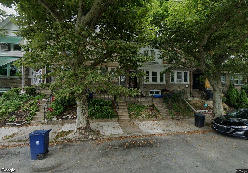
1937 72nd Ave Philadelphia, PA 19138
West Oak Lane NeighborhoodEstimated Value: $167,000 - $225,000
3
Beds
1
Bath
1,230
Sq Ft
$157/Sq Ft
Est. Value
About This Home
This home is located at 1937 72nd Ave, Philadelphia, PA 19138 and is currently estimated at $193,600, approximately $157 per square foot. 1937 72nd Ave is a home located in Philadelphia County with nearby schools including William Rowen School, Gen. Louis Wagner Middle School, and Martin Luther King High School.
Ownership History
Date
Name
Owned For
Owner Type
Purchase Details
Closed on
Jun 29, 2022
Sold by
Ddh Fund Lp
Bought by
Rad Diversified Reit Inc
Current Estimated Value
Home Financials for this Owner
Home Financials are based on the most recent Mortgage that was taken out on this home.
Original Mortgage
$144,000
Outstanding Balance
$137,000
Interest Rate
5.09%
Mortgage Type
New Conventional
Estimated Equity
$56,600
Purchase Details
Closed on
Jun 8, 2017
Sold by
Green Lataya M and City Of Philadelphia
Bought by
Ddh Fund Lp
Purchase Details
Closed on
Apr 1, 2009
Sold by
Green Lataya M and Estate Of Julia Green
Bought by
Green Lataya M
Purchase Details
Closed on
May 23, 1998
Sold by
Green Quinzel B and Green Julia
Bought by
Green Julia
Create a Home Valuation Report for This Property
The Home Valuation Report is an in-depth analysis detailing your home's value as well as a comparison with similar homes in the area
Home Values in the Area
Average Home Value in this Area
Purchase History
| Date | Buyer | Sale Price | Title Company |
|---|---|---|---|
| Rad Diversified Reit Inc | -- | None Listed On Document | |
| Ddh Fund Lp | $63,000 | None Available | |
| Green Lataya M | -- | None Available | |
| Green Julia | -- | -- |
Source: Public Records
Mortgage History
| Date | Status | Borrower | Loan Amount |
|---|---|---|---|
| Open | Rad Diversified Reit Inc | $144,000 |
Source: Public Records
Tax History Compared to Growth
Tax History
| Year | Tax Paid | Tax Assessment Tax Assessment Total Assessment is a certain percentage of the fair market value that is determined by local assessors to be the total taxable value of land and additions on the property. | Land | Improvement |
|---|---|---|---|---|
| 2025 | $2,149 | $184,100 | $36,820 | $147,280 |
| 2024 | $2,149 | $184,100 | $36,820 | $147,280 |
| 2023 | $2,149 | $153,500 | $30,700 | $122,800 |
| 2022 | $1,583 | $153,500 | $30,700 | $122,800 |
| 2021 | $1,583 | $0 | $0 | $0 |
| 2020 | $1,583 | $0 | $0 | $0 |
| 2019 | $1,653 | $0 | $0 | $0 |
| 2018 | $1,429 | $0 | $0 | $0 |
| 2017 | $1,429 | $0 | $0 | $0 |
| 2016 | $1,429 | $0 | $0 | $0 |
| 2015 | $1,368 | $0 | $0 | $0 |
| 2014 | -- | $102,100 | $7,035 | $95,065 |
| 2012 | -- | $12,384 | $2,061 | $10,323 |
Source: Public Records
Map
Nearby Homes
- 1911 72nd Ave
- 1901A 72nd Ave
- 1847 Plymouth St
- 7188 N Uber St
- 1975 73rd Ave
- 1979 73rd Ave
- 1996 73rd Ave
- 7153 N 19th St
- 7159 N 20th St
- 1837 73rd Ave
- 1825 Dallas St
- 1815 Elston St
- 1810 72nd Ave
- 1980 Penfield St
- 1947 Penfield St
- 6943 N 19th St
- 1936 74th Ave
- 1815 Penfield St
- 7316 Pittville Ave
- 1724 Chelsea Rd
- 1935 72nd Ave
- 1933 72nd Ave
- 1931 72nd Ave
- 1939 72nd Ave
- 1941 72nd Ave
- 1929 72nd Ave
- 1927 Elston St
- 1927 72nd Ave
- 1943 72nd Ave
- 1925 72nd Ave
- 1936 Plymouth St
- 1940 Plymouth St
- 1945 72nd Ave
- 1938 Plymouth St
- 1934 Plymouth St
- 1942 Plymouth St
- 1932 Plymouth St
- 1923 72nd Ave
- 1944 Plymouth St
- 1947 72nd Ave