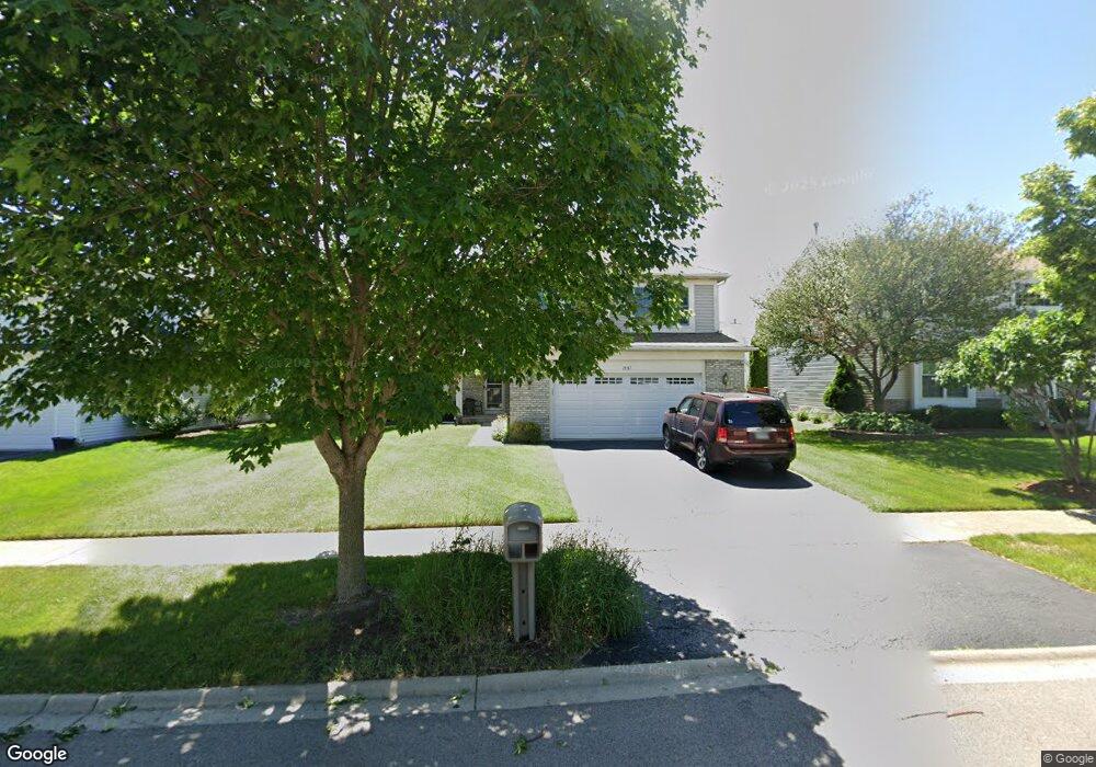
1937 Conway Ln Unit 1 Aurora, IL 60503
Far Southeast NeighborhoodEstimated Value: $472,094 - $504,000
4
Beds
3
Baths
2,393
Sq Ft
$202/Sq Ft
Est. Value
About This Home
This home is located at 1937 Conway Ln Unit 1, Aurora, IL 60503 and is currently estimated at $483,698, approximately $202 per square foot. 1937 Conway Ln Unit 1 is a home located in Kendall County with nearby schools including The Wheatlands Elementary School, Bednarcik Jr. High School, and Oswego East High School.
Ownership History
Date
Name
Owned For
Owner Type
Purchase Details
Closed on
Apr 26, 2002
Sold by
Whitley Charles B and Turner Colette A
Bought by
Loftus Marc E and Loftus Joyce M
Current Estimated Value
Home Financials for this Owner
Home Financials are based on the most recent Mortgage that was taken out on this home.
Original Mortgage
$196,000
Outstanding Balance
$78,791
Interest Rate
6.25%
Estimated Equity
$404,907
Purchase Details
Closed on
Oct 28, 1999
Sold by
Drh Cambridge Homes Inc
Bought by
Whitley Charles B and Whitley Colette A
Home Financials for this Owner
Home Financials are based on the most recent Mortgage that was taken out on this home.
Original Mortgage
$195,000
Interest Rate
7.78%
Create a Home Valuation Report for This Property
The Home Valuation Report is an in-depth analysis detailing your home's value as well as a comparison with similar homes in the area
Home Values in the Area
Average Home Value in this Area
Purchase History
| Date | Buyer | Sale Price | Title Company |
|---|---|---|---|
| Loftus Marc E | $260,000 | -- | |
| Whitley Charles B | $223,000 | Chicago Title Insurance Co |
Source: Public Records
Mortgage History
| Date | Status | Borrower | Loan Amount |
|---|---|---|---|
| Open | Loftus Marc E | $196,000 | |
| Previous Owner | Whitley Charles B | $195,000 |
Source: Public Records
Tax History
| Year | Tax Paid | Tax Assessment Tax Assessment Total Assessment is a certain percentage of the fair market value that is determined by local assessors to be the total taxable value of land and additions on the property. | Land | Improvement |
|---|---|---|---|---|
| 2024 | $11,156 | $131,570 | $28,223 | $103,347 |
| 2023 | $10,246 | $117,473 | $25,199 | $92,274 |
| 2022 | $10,246 | $107,773 | $23,118 | $84,655 |
| 2021 | $9,617 | $97,975 | $21,016 | $76,959 |
| 2020 | $9,528 | $96,054 | $20,604 | $75,450 |
| 2019 | $9,552 | $94,214 | $20,604 | $73,610 |
| 2018 | $9,164 | $90,958 | $19,892 | $71,066 |
| 2017 | $8,884 | $83,833 | $18,334 | $65,499 |
| 2016 | $8,515 | $79,462 | $17,378 | $62,084 |
| 2015 | $8,775 | $75,678 | $16,550 | $59,128 |
| 2014 | $4,327 | $71,394 | $15,613 | $55,781 |
| 2013 | $4,327 | $72,115 | $15,771 | $56,344 |
Source: Public Records
Map
Nearby Homes
- 1973 Eastwick Ln
- 1935 Chesterfield Ln
- 1733 Stable Ln
- 1739 Baler Ave
- 1745 Baler Ave
- 1740 Baler Ave
- 1715 Baler Ave
- 1738 Baler Ave
- 1733 Baler Ave
- 1853 Baler Ave
- 1744 Stable Ln
- 1752 Stable Ln
- 1748 Stable Ln
- 2060 Lyndhurst Ln
- 1900 Canyon Creek Dr
- 2084 Canyon Creek Ct
- 1800 Diamond Creek Ln Unit 1
- 1830 Canyon Creek Dr
- 1633 Fredericksburg Ln Unit 2
- 2208 Grand Pointe Trail
- 1945 Conway Ln
- 1929 Conway Ln
- 1954 Chesterfield Ln
- 1946 Chesterfield Ln Unit 3
- 1953 Conway Ln
- 1921 Conway Ln
- 1962 Chesterfield Ln
- 1938 Chesterfield Ln
- 1934 Conway Ln
- 1942 Conway Ln Unit 1
- 1970 Chesterfield Ln
- 1926 Conway Ln
- 1961 Conway Ln Unit 1
- 1913 Conway Ln
- 1950 Conway Ln
- 1930 Chesterfield Ln
- 1918 Conway Ln
- 1978 Chesterfield Ln Unit 3
- 1958 Conway Ln
- 1969 Conway Ln
Your Personal Tour Guide
Ask me questions while you tour the home.