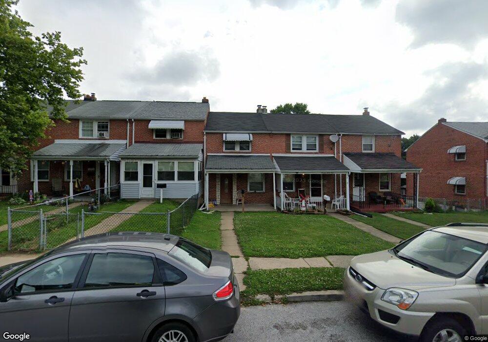
1937 Deering Ave Baltimore, MD 21230
Morrell Park NeighborhoodEstimated Value: $119,000 - $119,438
2
Beds
1
Bath
864
Sq Ft
$138/Sq Ft
Est. Value
About This Home
This home is located at 1937 Deering Ave, Baltimore, MD 21230 and is currently estimated at $119,219, approximately $137 per square foot. 1937 Deering Ave is a home located in Baltimore City with nearby schools including Morrell Park Elementary/Middle School, Booker T. Washington Middle School, and Digital Harbor High School.
Ownership History
Date
Name
Owned For
Owner Type
Purchase Details
Closed on
Apr 21, 2006
Sold by
Northwest Savings Bank
Bought by
Mitchell Brian and Mitchell Kelly
Current Estimated Value
Purchase Details
Closed on
Jan 25, 2005
Sold by
Halstead William E
Bought by
Northwest Savings Bank
Purchase Details
Closed on
Jul 31, 2003
Sold by
Orville G Jordan Wf
Bought by
Halstead William E
Create a Home Valuation Report for This Property
The Home Valuation Report is an in-depth analysis detailing your home's value as well as a comparison with similar homes in the area
Home Values in the Area
Average Home Value in this Area
Purchase History
| Date | Buyer | Sale Price | Title Company |
|---|---|---|---|
| Mitchell Brian | $55,000 | -- | |
| Northwest Savings Bank | $55,000 | -- | |
| Halstead William E | $54,500 | -- |
Source: Public Records
Tax History
| Year | Tax Paid | Tax Assessment Tax Assessment Total Assessment is a certain percentage of the fair market value that is determined by local assessors to be the total taxable value of land and additions on the property. | Land | Improvement |
|---|---|---|---|---|
| 2025 | $1,389 | $81,233 | -- | -- |
| 2024 | $1,389 | $74,067 | -- | -- |
| 2023 | $1,521 | $66,900 | $15,000 | $51,900 |
| 2022 | $1,318 | $63,667 | $0 | $0 |
| 2021 | $1,426 | $60,433 | $0 | $0 |
| 2020 | $1,231 | $57,200 | $15,000 | $42,200 |
| 2019 | $1,224 | $57,200 | $15,000 | $42,200 |
| 2018 | $1,244 | $57,200 | $15,000 | $42,200 |
| 2017 | $2,188 | $121,800 | $0 | $0 |
| 2016 | $2,899 | $106,567 | $0 | $0 |
| 2015 | $2,899 | $91,333 | $0 | $0 |
| 2014 | $2,899 | $76,100 | $0 | $0 |
Source: Public Records
Map
Nearby Homes
- 1918 Parksley Ave
- 2104 Whistler Ave
- 2809 Washington Blvd
- 1920 Casadel Ave
- 1920 Maudlin Ave
- 0 Harman Ave
- 1803 Casadel Ave
- 2006 Grinnalds Ave
- 1913 Harman Ave
- 1710 Wickes Ave
- 2506 Washington Blvd
- 2453 Washington Blvd
- 2039 Grinnalds Ave
- 1935 Grinnalds Ave
- 1933 Grinnalds Ave
- 1704 Harman Ave
- 1933 Griffis Ave
- 1707 Harman Ave
- 2421 Arbuton Ave
- 1703 - 1707 1/2 Spence St
- 1935 Deering Ave
- 1939 Deering Ave
- 1933 Deering Ave
- 1941 Deering Ave
- 1931 Deering Ave
- 2001 Deering Ave
- 1929 Deering Ave
- 2003 Deering Ave
- 1927 Deering Ave
- 2005 Deering Ave
- 2007 Deering Ave
- 2009 Deering Ave
- 1923 Deering Ave
- 2011 Deering Ave
- 1921 Deering Ave
- 2013 Deering Ave
- 1917 Deering Ave
- 2015 Deering Ave
- 1915 Deering Ave
- 2017 Deering Ave
Your Personal Tour Guide
Ask me questions while you tour the home.