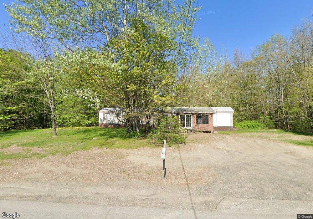
1937 Mercer Rd Mercer, ME 04957
Estimated Value: $80,635 - $269,000
Studio
--
Bath
--
Sq Ft
--
Built
About This Home
This home is located at 1937 Mercer Rd, Mercer, ME 04957 and is currently estimated at $183,212. 1937 Mercer Rd is a home.
Ownership History
Date
Name
Owned For
Owner Type
Purchase Details
Closed on
Jul 28, 2017
Sold by
Currier Fred B Est
Bought by
Fred Currier Lt
Current Estimated Value
Create a Home Valuation Report for This Property
The Home Valuation Report is an in-depth analysis detailing your home's value as well as a comparison with similar homes in the area
Purchase History
| Date | Buyer | Sale Price | Title Company |
|---|---|---|---|
| Fred Currier Lt | -- | -- |
Source: Public Records
Tax History
| Year | Tax Paid | Tax Assessment Tax Assessment Total Assessment is a certain percentage of the fair market value that is determined by local assessors to be the total taxable value of land and additions on the property. | Land | Improvement |
|---|---|---|---|---|
| 2024 | $137 | $13,000 | $0 | $13,000 |
| 2023 | $203 | $10,920 | $0 | $10,920 |
| 2022 | $192 | $10,920 | $0 | $10,920 |
| 2021 | $192 | $10,920 | $0 | $10,920 |
| 2020 | $192 | $10,920 | $0 | $10,920 |
| 2019 | $189 | $10,920 | $0 | $10,920 |
| 2018 | $179 | $10,920 | $0 | $10,920 |
| 2017 | $175 | $10,920 | $0 | $10,920 |
| 2016 | $174 | $10,920 | $0 | $10,920 |
| 2015 | $173 | $10,920 | $0 | $10,920 |
| 2014 | $166 | $10,920 | $0 | $10,920 |
Source: Public Records
Map
Nearby Homes
- Lot 59&60 Starks Rd
- 265 Mile Hill Rd
- 58 Starks Rd
- 681 Mile Hill Rd
- M1 L19 Homestead Hill Rd
- 55 Cape Cod Hill Rd
- M-17 L-15 York Hill Rd
- M 2 - L 1 Bean Rd
- 10 Trista Ln
- 0 Poor Farm Rd Unit 1637355
- 1648 New Sharon Rd
- M-3 L-33-5 Cape Cod Hill Rd
- M-3 L-33-4 Cape Cod Hill Rd
- 645 Kimball Pond
- 17 Anson Rd
- Lot 1 Oak Hill Rd
- Lot 2 Oak Hill Rd
- 692 Mercer Rd
- 735 Sandy River Rd
- R-01-031 Mason Rd
Your Personal Tour Guide
Ask me questions while you tour the home.