1937 Mule Barn Dr Cape Fair, MO 65624
Estimated Value: $274,870 - $364,000
3
Beds
2
Baths
1,470
Sq Ft
$229/Sq Ft
Est. Value
About This Home
This home is located at 1937 Mule Barn Dr, Cape Fair, MO 65624 and is currently estimated at $336,218, approximately $228 per square foot. 1937 Mule Barn Dr is a home located in Stone County with nearby schools including Reeds Spring Primary School, Reeds Spring Elementary School, and Reeds Spring Intermediate School.
Ownership History
Date
Name
Owned For
Owner Type
Purchase Details
Closed on
Sep 11, 2009
Sold by
Pierce David M and Pierce Lindy
Bought by
Talbot Gary A and Talbot Maura R
Current Estimated Value
Home Financials for this Owner
Home Financials are based on the most recent Mortgage that was taken out on this home.
Original Mortgage
$122,000
Outstanding Balance
$79,747
Interest Rate
5.26%
Mortgage Type
New Conventional
Estimated Equity
$256,471
Create a Home Valuation Report for This Property
The Home Valuation Report is an in-depth analysis detailing your home's value as well as a comparison with similar homes in the area
Purchase History
| Date | Buyer | Sale Price | Title Company |
|---|---|---|---|
| Talbot Gary A | -- | -- |
Source: Public Records
Mortgage History
| Date | Status | Borrower | Loan Amount |
|---|---|---|---|
| Open | Talbot Gary A | $122,000 |
Source: Public Records
Tax History
| Year | Tax Paid | Tax Assessment Tax Assessment Total Assessment is a certain percentage of the fair market value that is determined by local assessors to be the total taxable value of land and additions on the property. | Land | Improvement |
|---|---|---|---|---|
| 2025 | $1,101 | $22,480 | -- | -- |
| 2024 | $1,100 | $22,480 | -- | -- |
| 2023 | $1,100 | $22,480 | $0 | $0 |
| 2022 | $1,094 | $22,480 | $0 | $0 |
| 2021 | $1,107 | $22,480 | $0 | $0 |
| 2020 | $1,596 | $19,510 | $0 | $0 |
| 2019 | $1,612 | $18,920 | $0 | $0 |
| 2018 | $1,656 | $18,920 | $0 | $0 |
| 2017 | $1,703 | $18,920 | $0 | $0 |
| 2016 | $1,727 | $18,920 | $0 | $0 |
| 2015 | $1,774 | $18,920 | $0 | $0 |
| 2014 | $1,853 | $18,920 | $0 | $0 |
| 2012 | $1,875 | $17,210 | $0 | $0 |
Source: Public Records
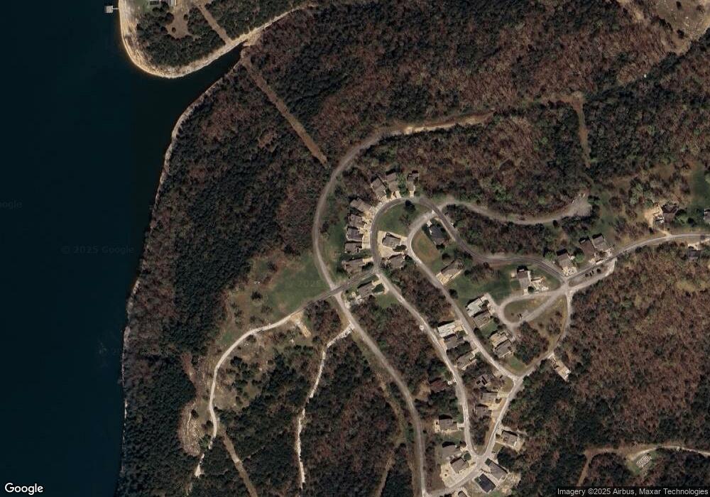
Map
Nearby Homes
- 111 Howard Dr
- 262 Grand Slam Ave
- Lot 15 Hanging Branch Ridge
- Lot 35 Hanging Branch Ridge
- Lot 14 Hanging Branch Ridge
- Lot 47 Hanging Branch Ridge
- Lot 44 Hanging Branch Ridge
- Lot 8 Hanging Branch Ridge
- Lot 43 Hanging Branch Ridge
- Lot 45 Hanging Branch Ridge
- Lot 16 Hanging Branch Ridge
- Lot 34 Hanging Branch Ridge
- 54 South St
- 817 Hanging Branch Ridge
- 1296 Mule Barn Dr
- 21 Myrtle St
- 132 Walnut St
- Tbd Hanging Branch Ridge
- Tbd Pinto Ln
- 1029 Hanging Branch Ridge
- 1927 Mule Barn Dr
- 1945 Mule Barn Dr
- 1913 Mule Barn Dr
- 129 S Shining Mountain Dr
- 1969 Mule Barn Dr
- 1895 Mule Barn Dr
- 1889 Mule Barn Dr
- 174 S Shining Mountain Dr
- 1883 Mule Barn Dr
- 115 S Shining Mountain Dr
- 110 S Shining Mountain Dr
- Lot 28 Deer Run
- Lot 65 S Shining Mountain Dr
- Lot 87 S Shining Mountain Dr
- Tbd Lost River Rd
- 65 S Shining Mountain Dr
- 57 S Shining Mountain Dr
- Lot 27 Deer Run
- 16 Edgewater Village Dr
- 28 Edgewater Village Dr
Your Personal Tour Guide
Ask me questions while you tour the home.