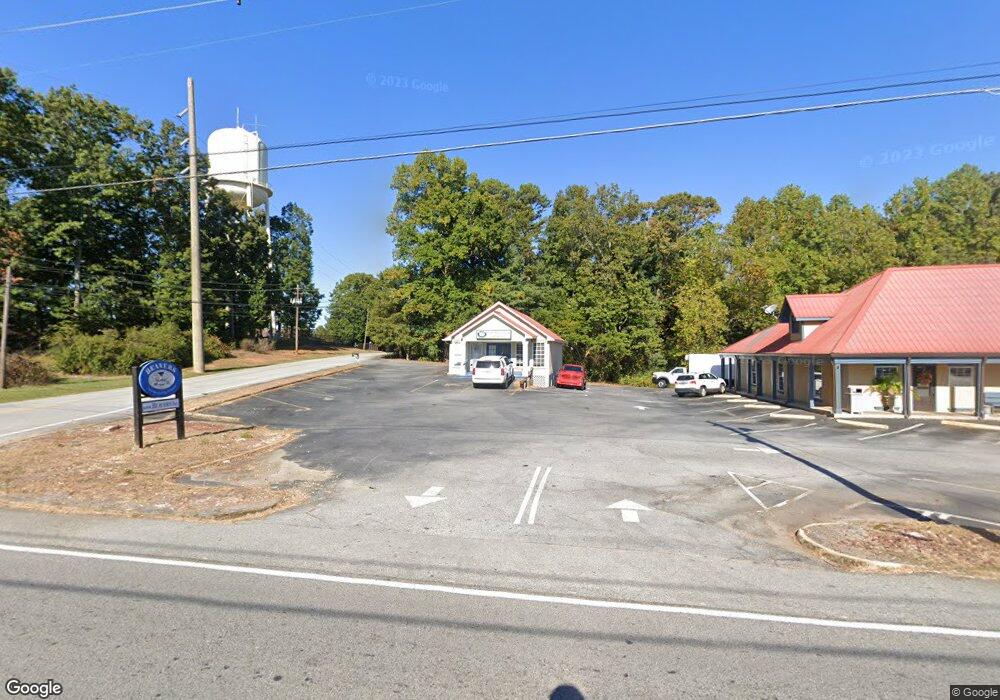
1937 Robertson Loop Rd Clarkesville, GA 30523
Estimated Value: $400,192
--
Bed
--
Bath
1,152
Sq Ft
$347/Sq Ft
Est. Value
About This Home
This home is located at 1937 Robertson Loop Rd, Clarkesville, GA 30523 and is currently priced at $400,192, approximately $347 per square foot. 1937 Robertson Loop Rd is a home located in Habersham County with nearby schools including Clarkesville Elementary School, North Habersham Middle School, and Habersham Success Academy.
Ownership History
Date
Name
Owned For
Owner Type
Purchase Details
Closed on
Jul 2, 2021
Sold by
Chan Ah Kow
Bought by
Beavers & Co Llc
Current Estimated Value
Home Financials for this Owner
Home Financials are based on the most recent Mortgage that was taken out on this home.
Original Mortgage
$247,000
Outstanding Balance
$10,084
Interest Rate
2.9%
Mortgage Type
Commercial
Create a Home Valuation Report for This Property
The Home Valuation Report is an in-depth analysis detailing your home's value as well as a comparison with similar homes in the area
Home Values in the Area
Average Home Value in this Area
Purchase History
| Date | Buyer | Sale Price | Title Company |
|---|---|---|---|
| Beavers & Co Llc | $220,000 | -- |
Source: Public Records
Mortgage History
| Date | Status | Borrower | Loan Amount |
|---|---|---|---|
| Open | Beavers & Co Llc | $247,000 |
Source: Public Records
Tax History Compared to Growth
Tax History
| Year | Tax Paid | Tax Assessment Tax Assessment Total Assessment is a certain percentage of the fair market value that is determined by local assessors to be the total taxable value of land and additions on the property. | Land | Improvement |
|---|---|---|---|---|
| 2025 | $3,402 | $90,973 | $40,422 | $50,551 |
| 2024 | $2,698 | $103,964 | $63,096 | $40,868 |
| 2023 | $2,218 | $88,708 | $48,536 | $40,172 |
| 2022 | $2,177 | $83,476 | $48,536 | $34,940 |
| 2021 | $2,113 | $81,424 | $48,536 | $32,888 |
| 2020 | $2,074 | $77,128 | $48,536 | $28,592 |
| 2019 | $2,077 | $77,128 | $48,536 | $28,592 |
| 2018 | $2,060 | $77,128 | $48,536 | $28,592 |
| 2017 | $2,027 | $75,484 | $48,536 | $26,948 |
| 2016 | $1,968 | $188,710 | $48,536 | $26,948 |
| 2015 | $1,945 | $188,710 | $48,536 | $26,948 |
| 2014 | $1,982 | $188,710 | $48,536 | $26,948 |
| 2013 | -- | $75,484 | $48,536 | $26,948 |
Source: Public Records
Map
Nearby Homes
- 100 Cove View Ln
- 152 Russ Cir
- 164 Weeping Willow Dr
- 222 Weeping Willow Dr
- 643 Washington St
- 745 Washington St
- 253 Lacount Ln
- 148 Village Dr
- 135 Village Dr
- 395 E Louise St
- 205 Flesner Ct
- 258 Eden Woods
- 176 Llewellyn St
- 172 Llewellyn St
- 180 Llewellyn St
- LOT 20 Eden Woods Rd
- 1221 Historic Hwy 441 N
- 213 N Laurel Dr
- 112 Woodland St
- 0 Ivy Ridge Way Unit LOT 40 10327774
- 1937 Robertson Loop Rd
- 1931 Robertson Loop Rd
- 345 W Louise St
- 124 Yonah Dr
- 1937 Robertson Loop
- 0 Robertson Loop
- 334 W Louise St
- 130 Yonah Dr
- 0 Yonah Dr
- 1899 Robertson Loop Rd
- 208 Yonah Cir
- 174 Yonah Dr
- 1840 Robertson Loop Rd
- 358 W Louise St
- 1885 Robertson Loop Rd
- 208 Yonah Dr
- 171 Yonah Dr
- 816 Yonah Dr
- 136 Railroad Ave
- 120 Railroad Ave