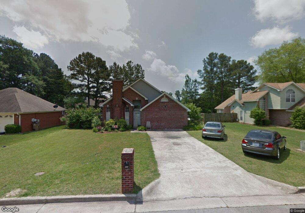
1937 S Brownstone Ct SW Decatur, AL 35603
Westmead NeighborhoodEstimated Value: $175,348 - $227,000
--
Bed
--
Bath
1,790
Sq Ft
$114/Sq Ft
Est. Value
About This Home
This home is located at 1937 S Brownstone Ct SW, Decatur, AL 35603 and is currently estimated at $204,337, approximately $114 per square foot. 1937 S Brownstone Ct SW is a home located in Morgan County with nearby schools including Julian Harris Elementary School, Cedar Ridge Middle School, and Austin High School.
Ownership History
Date
Name
Owned For
Owner Type
Purchase Details
Closed on
Sep 1, 2021
Sold by
Perry Charles Michael and Perry Keith
Bought by
Washington Calvin L
Current Estimated Value
Purchase Details
Closed on
Aug 20, 2021
Sold by
Lunsford Welbert R
Bought by
Washington Calvin
Purchase Details
Closed on
Apr 28, 2021
Sold by
Lott Wayne and Lott Patsy Jo
Bought by
Washington Calvin
Purchase Details
Closed on
May 11, 2006
Sold by
Adams Teresa M
Bought by
Renasant Bank
Create a Home Valuation Report for This Property
The Home Valuation Report is an in-depth analysis detailing your home's value as well as a comparison with similar homes in the area
Home Values in the Area
Average Home Value in this Area
Purchase History
| Date | Buyer | Sale Price | Title Company |
|---|---|---|---|
| Washington Calvin L | $70,000 | None Available | |
| Washington Calvin | $85,000 | None Available | |
| Washington Calvin | $80,000 | None Available | |
| Renasant Bank | $70,500 | None Available |
Source: Public Records
Tax History Compared to Growth
Tax History
| Year | Tax Paid | Tax Assessment Tax Assessment Total Assessment is a certain percentage of the fair market value that is determined by local assessors to be the total taxable value of land and additions on the property. | Land | Improvement |
|---|---|---|---|---|
| 2024 | $582 | $13,900 | $2,140 | $11,760 |
| 2023 | $582 | $13,900 | $2,140 | $11,760 |
| 2022 | $551 | $13,220 | $2,020 | $11,200 |
| 2021 | $468 | $11,370 | $2,020 | $9,350 |
| 2020 | $540 | $19,040 | $2,000 | $17,040 |
| 2019 | $540 | $12,960 | $0 | $0 |
| 2015 | $453 | $11,780 | $0 | $0 |
| 2014 | $453 | $11,060 | $0 | $0 |
| 2013 | -- | $10,900 | $0 | $0 |
Source: Public Records
Map
Nearby Homes
- 1962 E Brownstone Ct SW
- 1923 W Brownstone Ct SW
- 2313 Cumberland Ct SW
- 1904 W Brownstone Ct SW
- 1903 Cumberland Ave SW
- 1827 N Brownstone Ct SW
- 1829 Brownstone Ave SW
- 1812 Brownstone Ave SW
- 2406 Auburn Dr SW
- 2409 Brookline Ct SW
- 1712 Brookline Ave SW
- 1711 Wilshire Ave SW
- 2410 Kathy Ln SW
- 2414 Brookline Ct SW
- 2415 Gaslight Place SW
- 2413 Gaslight Place SW
- 2006 Jefferson Ave SW
- 1701 Saginaw Ln SW
- 7.5 Brownstone Ct SW
- 2179 Westbury Ct SW
- 1935 S Brownstone Ct SW
- 1939 S Brownstone Ct SW
- 2310 Cumberland Place SW
- 1941 S Brownstone Ct SW
- 1955 E Brownstone Ct SW
- 1953 S Brownstone Ct SW
- 1931 S Brownstone Ct SW
- 2308 Cumberland Place SW
- 1957 E Brownstone Ct SW
- 1943 S Brownstone Ct SW
- 2319 Cumberland Ct SW
- 1929 S Brownstone Ct SW
- 2317 Cumberland Ct SW
- 1951 S Brownstone Ct SW
- 1945 S Brownstone Ct SW
- 2306 Cumberland Place SW
- 1948 E Brownstone Ct SW
- 1950 E Brownstone Ct SW
- 2315 Cumberland Ct SW
- 1952 E Brownstone Ct SW