1937 Spindt Dr Waupaca, WI 54981
Estimated Value: $563,991
--
Bed
--
Bath
--
Sq Ft
2
Acres
About This Home
This home is located at 1937 Spindt Dr, Waupaca, WI 54981 and is currently estimated at $563,991. 1937 Spindt Dr is a home located in Waupaca County with nearby schools including Waupaca Learning Center Elementary School, Waupaca Middle School, and Waupaca High School.
Ownership History
Date
Name
Owned For
Owner Type
Purchase Details
Closed on
Oct 6, 2009
Sold by
Northern Waters Industries Ltd
Bought by
R W Woolsey Landholdings Ltd
Current Estimated Value
Purchase Details
Closed on
Aug 14, 2009
Sold by
Woolsey Roy William
Bought by
R W Woolsey Landholdings Ltd
Create a Home Valuation Report for This Property
The Home Valuation Report is an in-depth analysis detailing your home's value as well as a comparison with similar homes in the area
Home Values in the Area
Average Home Value in this Area
Purchase History
| Date | Buyer | Sale Price | Title Company |
|---|---|---|---|
| R W Woolsey Landholdings Ltd | $274,300 | None Available | |
| Woolsey Roy William | -- | None Available | |
| Northern Waters Industries Ltd | -- | None Available | |
| R W Woolsey Landholdings Ltd | -- | None Available | |
| Woolsey Roy William | -- | None Available |
Source: Public Records
Tax History Compared to Growth
Tax History
| Year | Tax Paid | Tax Assessment Tax Assessment Total Assessment is a certain percentage of the fair market value that is determined by local assessors to be the total taxable value of land and additions on the property. | Land | Improvement |
|---|---|---|---|---|
| 2024 | $5,375 | $321,500 | $40,000 | $281,500 |
| 2023 | $5,375 | $321,500 | $40,000 | $281,500 |
| 2022 | $6,487 | $274,300 | $30,000 | $244,300 |
| 2021 | $6,663 | $274,300 | $30,000 | $244,300 |
| 2020 | $6,920 | $274,300 | $30,000 | $244,300 |
| 2019 | $6,722 | $274,300 | $30,000 | $244,300 |
| 2018 | $7,398 | $274,300 | $30,000 | $244,300 |
| 2017 | $7,213 | $274,300 | $30,000 | $244,300 |
| 2016 | $7,213 | $274,300 | $30,000 | $244,300 |
| 2015 | $7,569 | $274,300 | $30,000 | $244,300 |
| 2014 | $7,375 | $274,300 | $30,000 | $244,300 |
| 2013 | $7,365 | $274,300 | $30,000 | $244,300 |
Source: Public Records
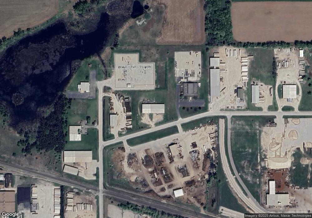
Map
Nearby Homes
- 0 Constance Rd Unit 20803051
- 0 Constance Rd Unit 20803050
- 0 Constance Rd Unit 50285836
- 0 N Hill Rd Unit 20803057
- 0 N Hill Rd Unit 20803055
- 0 N Hill Rd Unit 20803046
- 0 Feathers Ct Unit 20803048
- N3480 Feathers Ct
- 0 Nichols Creek Rd Unit 20803047
- 1545 Royalton St
- 903 Harding St
- 0 State Road 22-54 Unit 50291197
- 0 State Road 22-54 Unit 50291195
- 0 Handrich Rd
- 726 E Fulton St
- 1103 Berlin St
- 1006 9th St
- 904 8th St
- 2016 Farm Dr
- 940 Buffalo Ridge Ln
- 1919 Spindt Dr
- 350 Industrial Dr
- 450 Industrial Dr
- 455 Industrial Dr
- 1839 Royalton St
- 1833 Royalton St
- 1987 Spindt Dr
- 1961 Spindt Dr
- 1970 Spindt Dr
- 1970 Spindt Dr Unit 5
- 1970 Spindt Dr Unit 4
- 2001 Royalton St
- 1822 Royalton St
- 1864 Lori
- 701 S Industrial Dr
- N3326 Constance Rd
- 1710 Royalton St
- 0 Godfrey Dr
- N3080 Lawson Dr
- 1990 Godfrey Dr