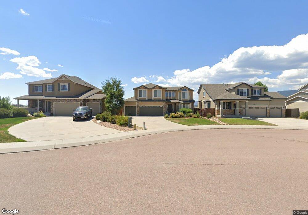
1937 Wagon Gap Trail Monument, CO 80132
Estimated Value: $615,690 - $693,000
6
Beds
5
Baths
2,359
Sq Ft
$276/Sq Ft
Est. Value
About This Home
This home is located at 1937 Wagon Gap Trail, Monument, CO 80132 and is currently estimated at $649,923, approximately $275 per square foot. 1937 Wagon Gap Trail is a home located in El Paso County with nearby schools including Bear Creek Elementary School, Lewis-Palmer Middle School, and Lewis-Palmer High School.
Ownership History
Date
Name
Owned For
Owner Type
Purchase Details
Closed on
Mar 9, 2009
Sold by
Richmond American Homes Of Colorado Inc
Bought by
Lopez Jose Antonio and Lopez Roxanne Lena
Current Estimated Value
Home Financials for this Owner
Home Financials are based on the most recent Mortgage that was taken out on this home.
Original Mortgage
$263,200
Outstanding Balance
$167,359
Interest Rate
5.13%
Mortgage Type
Unknown
Estimated Equity
$482,564
Create a Home Valuation Report for This Property
The Home Valuation Report is an in-depth analysis detailing your home's value as well as a comparison with similar homes in the area
Home Values in the Area
Average Home Value in this Area
Purchase History
| Date | Buyer | Sale Price | Title Company |
|---|---|---|---|
| Lopez Jose Antonio | $329,000 | Stewart Title |
Source: Public Records
Mortgage History
| Date | Status | Borrower | Loan Amount |
|---|---|---|---|
| Open | Lopez Jose Antonio | $263,200 |
Source: Public Records
Tax History
| Year | Tax Paid | Tax Assessment Tax Assessment Total Assessment is a certain percentage of the fair market value that is determined by local assessors to be the total taxable value of land and additions on the property. | Land | Improvement |
|---|---|---|---|---|
| 2025 | $2,638 | $46,560 | -- | -- |
| 2024 | $2,531 | $41,140 | $6,700 | $34,440 |
| 2023 | $2,531 | $41,140 | $6,700 | $34,440 |
| 2022 | $2,317 | $31,560 | $5,600 | $25,960 |
| 2021 | $2,396 | $32,470 | $5,760 | $26,710 |
| 2020 | $2,126 | $27,570 | $5,150 | $22,420 |
| 2019 | $2,116 | $27,570 | $5,150 | $22,420 |
| 2018 | $1,966 | $24,330 | $4,610 | $19,720 |
| 2017 | $2,153 | $24,330 | $4,610 | $19,720 |
| 2016 | $1,806 | $23,740 | $4,600 | $19,140 |
| 2015 | $1,804 | $23,740 | $4,600 | $19,140 |
| 2014 | $1,726 | $21,780 | $4,600 | $17,180 |
Source: Public Records
Map
Nearby Homes
- 16406 Hay Barn Heights
- 1806 Peak Prairie Ln
- 16613 Elk Valley Trail
- 2058 Peak Prairie Ln
- 2064 Bobcat Valley Ct
- 2185 Wagon Gap Trail
- 16269 Alpine Sorrel Dr
- 17215 Buffalo Valley Path
- 2149 Indian Balsam Dr
- 2159 Indian Balsam Dr
- 16015 Mountain Flax Dr
- 16487 Mountain Flax Dr
- 16478 Mountain Flax Dr
- 2266 Prairie Smoke Dr
- 17231 Hulls Way
- 16407 Mountain Flax Dr
- 2360 Indian Balsam Dr
- 2315 Coyote Mint Dr
- 16143 Mountain Flax Dr
- 17010 Mountain Lake Dr
- 1945 Wagon Gap Trail
- 1929 Wagon Gap Trail
- 1953 Wagon Gap Trail
- 1961 Wagon Gap Trail
- 1969 Wagon Gap Trail
- 1977 Wagon Gap Trail
- 1962 Wagon Gap Trail
- 16760 Buffalo Valley Path
- 1970 Wagon Gap Trail
- 16754 Buffalo Valley Path
- 1985 Wagon Gap Trail
- 1978 Wagon Gap Trail
- 1993 Wagon Gap Trail
- 1986 Wagon Gap Trail
- 16772 Buffalo Valley Path
- 16778 Buffalo Valley Path
- 2001 Wagon Gap Trail
- 16748 Buffalo Valley Path
- 1994 Wagon Gap Trail
- 16766 Buffalo Valley Path
Your Personal Tour Guide
Ask me questions while you tour the home.