1937 Yorktown S West Norriton, PA 19403
West Norriton Township NeighborhoodEstimated Value: $328,000 - $337,000
2
Beds
2
Baths
1,280
Sq Ft
$259/Sq Ft
Est. Value
About This Home
This home is located at 1937 Yorktown S, West Norriton, PA 19403 and is currently estimated at $331,256, approximately $258 per square foot. 1937 Yorktown S is a home located in Montgomery County with nearby schools including Charles Blockson Middle School, Paul V Fly Elementary School, and East Norriton Middle School.
Ownership History
Date
Name
Owned For
Owner Type
Purchase Details
Closed on
Apr 25, 2023
Sold by
Randow Rodney L
Bought by
Rudolph Stephen R
Current Estimated Value
Home Financials for this Owner
Home Financials are based on the most recent Mortgage that was taken out on this home.
Original Mortgage
$217,500
Outstanding Balance
$211,253
Interest Rate
6.42%
Mortgage Type
New Conventional
Estimated Equity
$120,003
Purchase Details
Closed on
Dec 20, 1990
Bought by
Randow Rodney L
Create a Home Valuation Report for This Property
The Home Valuation Report is an in-depth analysis detailing your home's value as well as a comparison with similar homes in the area
Home Values in the Area
Average Home Value in this Area
Purchase History
| Date | Buyer | Sale Price | Title Company |
|---|---|---|---|
| Rudolph Stephen R | $290,000 | None Listed On Document | |
| Randow Rodney L | $120,000 | -- |
Source: Public Records
Mortgage History
| Date | Status | Borrower | Loan Amount |
|---|---|---|---|
| Open | Rudolph Stephen R | $217,500 |
Source: Public Records
Tax History Compared to Growth
Tax History
| Year | Tax Paid | Tax Assessment Tax Assessment Total Assessment is a certain percentage of the fair market value that is determined by local assessors to be the total taxable value of land and additions on the property. | Land | Improvement |
|---|---|---|---|---|
| 2025 | $5,391 | $110,340 | $20,070 | $90,270 |
| 2024 | $5,391 | $110,340 | $20,070 | $90,270 |
| 2023 | $5,331 | $110,340 | $20,070 | $90,270 |
| 2022 | $5,295 | $110,340 | $20,070 | $90,270 |
| 2021 | $5,263 | $110,340 | $20,070 | $90,270 |
| 2020 | $5,106 | $110,340 | $20,070 | $90,270 |
| 2019 | $4,992 | $110,340 | $20,070 | $90,270 |
| 2018 | $3,827 | $110,340 | $20,070 | $90,270 |
| 2017 | $4,713 | $110,340 | $20,070 | $90,270 |
| 2016 | $4,670 | $110,340 | $20,070 | $90,270 |
| 2015 | $4,433 | $110,340 | $20,070 | $90,270 |
| 2014 | $4,327 | $110,340 | $20,070 | $90,270 |
Source: Public Records
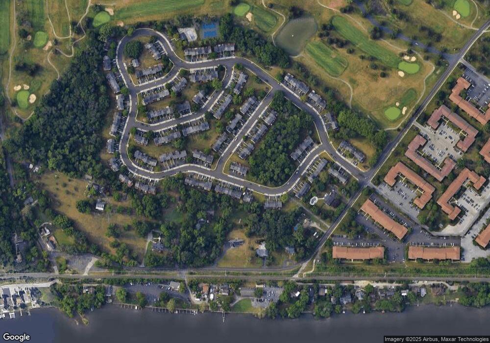
Map
Nearby Homes
- 526 Bassett Ln
- 2012 Yorktown S
- 1914 Yorktown S
- 2017 Yorktown S
- 1905 Yorktown N
- 143 Riversedge Dr Unit CONDO 143
- 176 Riversedge Dr
- 121 Woodstream Dr Unit CONDO 121
- 167 Woodstream Dr Unit CONDO 167
- 307 Brandon Rd
- 402 Brandon Rd
- 533 Brandon Rd
- 440 Rittenhouse Blvd
- 548 Susan Dr
- 365 Norris Hall Ln
- 0 Roosevelt Blvd
- 1924 Juniata Rd
- 2504 Grant Ct
- 735 Champlain Dr
- 1503 Reagan Ct
- 1937 Yorktown S
- 1939 Yorktown S
- 1939 Yorktown S
- 1941 Yorktown S
- 1941 Yorktown S
- 1943 Yorktown S
- 1943 Yorktown S
- 534 Bassett Ln
- 1945 Yorktown S
- 1945 Yorktown S
- 532 Bassett Ln
- 530 Bassett Ln
- 528 Bassett Ln
- 1944 Yorktown S
- 1942 Yorktown S
- 1946 Yorktown S
- 1940 Yorktown S
- 1950 Yorktown S
- 1952 Yorktown S
- 1938 Yorktown S