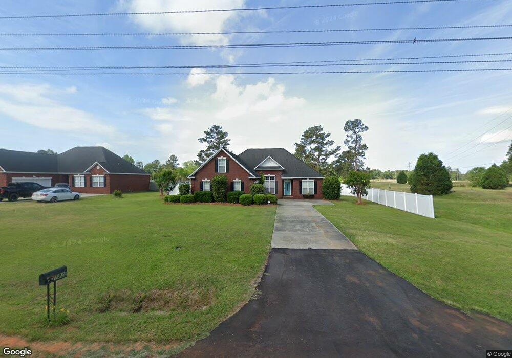
1938 Bloomville Rd Manning, SC 29102
Estimated Value: $198,000 - $295,000
3
Beds
2
Baths
1,853
Sq Ft
$142/Sq Ft
Est. Value
About This Home
This home is located at 1938 Bloomville Rd, Manning, SC 29102 and is currently estimated at $264,031, approximately $142 per square foot. 1938 Bloomville Rd is a home located in Clarendon County with nearby schools including Manning Early Childhood Center, Manning Primary School, and Manning Elementary School.
Ownership History
Date
Name
Owned For
Owner Type
Purchase Details
Closed on
Apr 16, 2013
Sold by
Moore Joseph H
Bought by
Bleasdale Landa S
Current Estimated Value
Home Financials for this Owner
Home Financials are based on the most recent Mortgage that was taken out on this home.
Original Mortgage
$133,000
Outstanding Balance
$94,092
Interest Rate
3.52%
Mortgage Type
New Conventional
Estimated Equity
$169,939
Create a Home Valuation Report for This Property
The Home Valuation Report is an in-depth analysis detailing your home's value as well as a comparison with similar homes in the area
Home Values in the Area
Average Home Value in this Area
Purchase History
| Date | Buyer | Sale Price | Title Company |
|---|---|---|---|
| Bleasdale Landa S | $166,488 | None Available |
Source: Public Records
Mortgage History
| Date | Status | Borrower | Loan Amount |
|---|---|---|---|
| Open | Bleasdale Landa S | $133,000 |
Source: Public Records
Tax History Compared to Growth
Tax History
| Year | Tax Paid | Tax Assessment Tax Assessment Total Assessment is a certain percentage of the fair market value that is determined by local assessors to be the total taxable value of land and additions on the property. | Land | Improvement |
|---|---|---|---|---|
| 2024 | $1,361 | $6,628 | $1,000 | $5,628 |
| 2023 | $1,335 | $6,628 | $1,000 | $5,628 |
| 2022 | $1,319 | $6,628 | $1,000 | $5,628 |
| 2021 | $1,137 | $5,956 | $880 | $5,076 |
| 2020 | $1,137 | $5,956 | $880 | $5,076 |
| 2019 | $1,053 | $5,956 | $880 | $5,076 |
| 2018 | $990 | $5,956 | $0 | $0 |
| 2017 | $990 | $5,956 | $0 | $0 |
| 2016 | $958 | $5,956 | $0 | $0 |
| 2015 | $1,012 | $6,212 | $880 | $5,332 |
| 2014 | $996 | $6,212 | $880 | $5,332 |
| 2013 | -- | $6,108 | $880 | $5,228 |
Source: Public Records
Map
Nearby Homes
- 1100 Mulligan Dr
- 1092 Mulligan Dr
- 1162 Mulligan Dr
- CALI Plan at Huggins Hill
- BELHAVEN Plan at Huggins Hill
- GLENWOOD Plan at Huggins Hill
- ELSTON Plan at Huggins Hill
- BRANDON Plan at Huggins Hill
- 1116 Mulligan Dr
- 1156 Mulligan Dr
- 1107 Mulligan Dr
- 1052 Mulligan Dr
- 1130 Mulligan Dr
- 1064 Mulligan Dr
- 1200 Mulligan Dr
- 2161 Bloomville Rd Unit Lot B
- 2147 Bloomville Rd Unit Lot A
- 1956 Bloomville Rd
- 1976 Bloomville Rd
- 1909 Bloomville Rd
- 1983 Bloomville Rd
- 1809 Bloomville Rd
- 2046 Bloomville Rd
- 2061 Bloomville Rd
- 1800 Bloomville Rd
- 1180 Heritage Dr
- 1208 Heritage Dr
- 1150 Heritage Dr
- 1128 Heritage Dr
- 1248 Heritage Dr
- 1096 Heritage Dr
- 1008 Catawba St
- 1282 Heritage Dr
- 1072 Heritage Dr
- 1165 Heritage Dr
- TBD Medinah Dr
- 1025 Catawba St