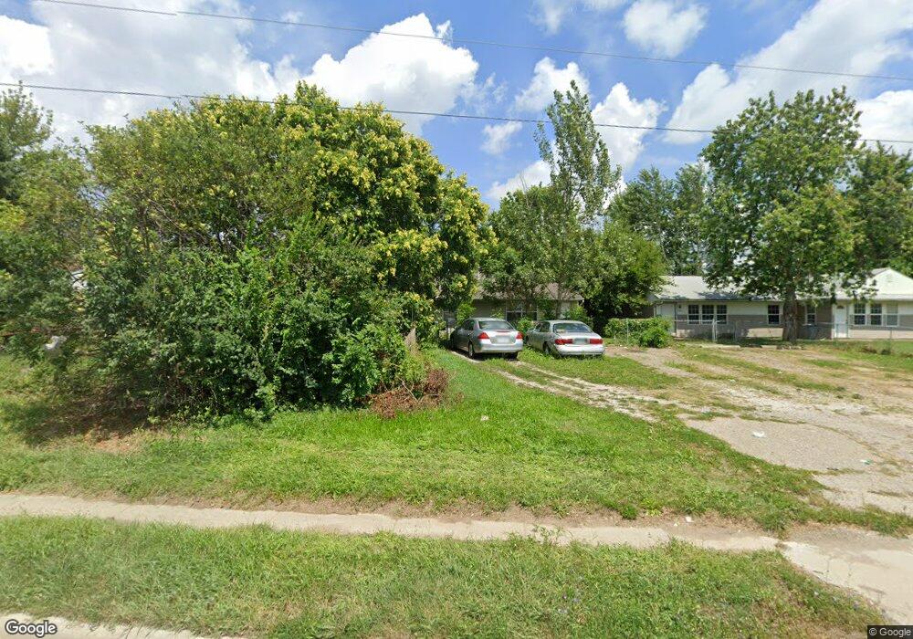
1938 Frank Rd Columbus, OH 43223
Estimated Value: $170,000 - $218,000
4
Beds
2
Baths
1,816
Sq Ft
$110/Sq Ft
Est. Value
About This Home
This home is located at 1938 Frank Rd, Columbus, OH 43223 and is currently estimated at $200,219, approximately $110 per square foot. 1938 Frank Rd is a home located in Franklin County with nearby schools including Finland Elementary School, Franklin Woods Intermediate School, and Finland Middle School.
Ownership History
Date
Name
Owned For
Owner Type
Purchase Details
Closed on
Nov 11, 2024
Sold by
Jones Randy Alan
Bought by
Trust Of Randy A Jones and Jones
Current Estimated Value
Purchase Details
Closed on
Dec 30, 2003
Sold by
U S Bank Na
Bought by
Jones Randy and Jones Shari
Purchase Details
Closed on
Jul 24, 2003
Sold by
Dials Joseph N and Firstar Bank Milwaukee Na
Bought by
Firstar Bank Na and Salomon Brothers Mortgage Securities Vii
Purchase Details
Closed on
Apr 16, 2003
Sold by
Dials Joseph N and Dials Kimberly A
Bought by
A Real Estate Company Inc
Purchase Details
Closed on
Oct 21, 1996
Sold by
Gregory Barbara L
Bought by
Joseph N Dials
Purchase Details
Closed on
Dec 28, 1993
Purchase Details
Closed on
Sep 17, 1987
Create a Home Valuation Report for This Property
The Home Valuation Report is an in-depth analysis detailing your home's value as well as a comparison with similar homes in the area
Home Values in the Area
Average Home Value in this Area
Purchase History
| Date | Buyer | Sale Price | Title Company |
|---|---|---|---|
| Trust Of Randy A Jones | -- | None Listed On Document | |
| Trust Of Randy A Jones | -- | None Listed On Document | |
| Jones Randy | $73,000 | Amerititle Mill Run | |
| Firstar Bank Na | $75,000 | -- | |
| A Real Estate Company Inc | -- | -- | |
| Joseph N Dials | $8,000 | -- | |
| -- | $42,700 | -- | |
| -- | $37,500 | -- |
Source: Public Records
Tax History Compared to Growth
Tax History
| Year | Tax Paid | Tax Assessment Tax Assessment Total Assessment is a certain percentage of the fair market value that is determined by local assessors to be the total taxable value of land and additions on the property. | Land | Improvement |
|---|---|---|---|---|
| 2024 | $3,500 | $60,270 | $7,840 | $52,430 |
| 2023 | $3,127 | $60,270 | $7,840 | $52,430 |
| 2022 | $2,342 | $31,050 | $12,500 | $18,550 |
| 2021 | $2,228 | $31,050 | $12,500 | $18,550 |
| 2020 | $2,225 | $31,050 | $12,500 | $18,550 |
| 2019 | $2,070 | $25,900 | $10,430 | $15,470 |
| 2018 | $1,811 | $25,900 | $10,430 | $15,470 |
| 2017 | $2,027 | $25,900 | $10,430 | $15,470 |
| 2016 | $1,705 | $20,410 | $3,430 | $16,980 |
| 2015 | $1,584 | $20,410 | $3,430 | $16,980 |
| 2014 | $1,585 | $20,410 | $3,430 | $16,980 |
| 2013 | $917 | $24,045 | $4,060 | $19,985 |
Source: Public Records
Map
Nearby Homes
- 1543 Red Leaf Ln
- 1948 Big Run Bluffs Blvd
- 1949 Big Run Bluffs Blvd
- 2210 October Ridge Dr
- 0 S Central Ave
- 4745 Big Run Rd E
- 1417 Fahy Dr
- 1390 Gray Meadow Dr
- 2436 Onyx Ct
- 1723 Farberdale Dr
- 1994 Little Ave
- 2336 Woodbrook Cir N Unit 92 B
- 2362 Woodbrook Cir N Unit 81
- 2103 Keller Place W
- 2242 Topaz Dr
- 2272 Anndel Ct
- 2180 Eakin Rd
- 1532 Westmeadow Dr
- 2195 Big Run Ave
- 2272 Topaz Dr
- 1950 Frank Rd
- 1948 Frank Rd Unit 950
- 1930 Frank Rd Unit 1932
- 1933 Westfield Dr S
- 1943 Westfield Dr S Unit 945
- 1958 Frank Rd Unit 960
- 1951-1953 Westfield Dr S
- 1951 Westfield Dr S Unit 1953
- 1917 Westfield Dr S Unit 919
- 1918 Frank Rd Unit 1920
- 1918 Frank Rd
- 1984 Westfield Dr S
- 1968 Frank Rd Unit 970
- 1932 Westfield Dr S
- 1940 Westfield Dr S
- 1961 Westfield Dr S Unit 963
- 1926 Westfield Dr S
- 1946 Westfield Dr S
- 1945 Frank Rd
- 1918 Westfield Dr S