1938 Ironton Dr Unit 42A Columbus, OH 43228
Estimated Value: $197,681 - $231,000
2
Beds
2
Baths
1,264
Sq Ft
$174/Sq Ft
Est. Value
About This Home
This home is located at 1938 Ironton Dr Unit 42A, Columbus, OH 43228 and is currently estimated at $219,670, approximately $173 per square foot. 1938 Ironton Dr Unit 42A is a home located in Franklin County with nearby schools including Bolton Crossing Elementary School, Holt Crossing Intermediate School, and Pleasant View Middle School.
Ownership History
Date
Name
Owned For
Owner Type
Purchase Details
Closed on
Jun 17, 1999
Sold by
The Qualstan Corp
Bought by
Robinson Linda K
Current Estimated Value
Home Financials for this Owner
Home Financials are based on the most recent Mortgage that was taken out on this home.
Original Mortgage
$97,098
Outstanding Balance
$25,629
Interest Rate
7.06%
Mortgage Type
FHA
Estimated Equity
$194,041
Create a Home Valuation Report for This Property
The Home Valuation Report is an in-depth analysis detailing your home's value as well as a comparison with similar homes in the area
Home Values in the Area
Average Home Value in this Area
Purchase History
| Date | Buyer | Sale Price | Title Company |
|---|---|---|---|
| Robinson Linda K | $99,400 | Transohio Title |
Source: Public Records
Mortgage History
| Date | Status | Borrower | Loan Amount |
|---|---|---|---|
| Open | Robinson Linda K | $97,098 |
Source: Public Records
Tax History Compared to Growth
Tax History
| Year | Tax Paid | Tax Assessment Tax Assessment Total Assessment is a certain percentage of the fair market value that is determined by local assessors to be the total taxable value of land and additions on the property. | Land | Improvement |
|---|---|---|---|---|
| 2024 | $2,006 | $55,020 | $10,500 | $44,520 |
| 2023 | $1,971 | $55,020 | $10,500 | $44,520 |
| 2022 | $1,860 | $38,120 | $4,550 | $33,570 |
| 2021 | $1,898 | $38,120 | $4,550 | $33,570 |
| 2020 | $1,887 | $38,120 | $4,550 | $33,570 |
| 2019 | $1,645 | $29,330 | $3,500 | $25,830 |
| 2018 | $1,586 | $29,330 | $3,500 | $25,830 |
| 2017 | $1,630 | $29,330 | $3,500 | $25,830 |
| 2016 | $1,534 | $25,350 | $3,820 | $21,530 |
| 2015 | $1,534 | $25,350 | $3,820 | $21,530 |
| 2014 | $1,535 | $25,350 | $3,820 | $21,530 |
| 2013 | $896 | $29,820 | $4,480 | $25,340 |
Source: Public Records
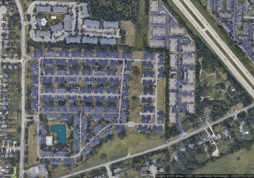
Map
Nearby Homes
- 1865 Bashan Dr Unit 78E
- 4650 Parrau Dr Unit 67E
- 1842 Bashan Dr Unit 75F
- 4666 Shalers Dr Unit 49C
- 4686 Parrau Dr Unit 64A
- 3045 Alkire Rd
- 1599 Covina Dr
- 1925 Fortstone Ln Unit 1925
- 4253 Demorest Cove Ct
- 1870 Berrancher Dr Unit 1870
- 2209 Owl St
- 1800 Georgesville Square Dr
- 4655 Parkwick Dr
- 4462 Alameda Dr
- 2360 Bloxom St
- 4419 Hammerton Dr Unit 13D
- 2345 Demorest Rd
- 2157 Hierarch Ct
- 4483 White Leaf Way
- 2487 Rosecrest St
- 1940 Ironton Dr Unit 42B
- 1942 Ironton Dr Unit 42C
- 1942 Ironton Dr Unit N
- 1932 Ironton Dr
- 1930 Ironton Dr Unit 43D
- 1946 Ironton Dr Unit 42E
- 1944 Ironton Dr Unit 42D
- 1926 Ironton Dr Unit 43B
- 4629 Shalers Dr Unit 44A
- 1924 Ironton Dr Unit 43A
- 1952 Ironton Dr Unit 41A
- 4631 Shalers Dr Unit 44B
- 4636 Cadmus Dr Unit 39E
- 4638 Cadmus Dr Unit 39D
- 4633 Shalers Dr Unit 44C
- 1954 Ironton Dr Unit 41B
- 1956 Ironton Dr Unit 41C
- 4640 Cadmus Dr Unit 39C
- 1898 Ironton Dr Unit 71G
- 1958 Ironton Dr Unit 41D