1938 Patricia Ln Pacific, MO 63069
Estimated Value: $341,000 - $371,000
3
Beds
3
Baths
1,750
Sq Ft
$206/Sq Ft
Est. Value
About This Home
This home is located at 1938 Patricia Ln, Pacific, MO 63069 and is currently estimated at $361,010, approximately $206 per square foot. 1938 Patricia Ln is a home located in Franklin County with nearby schools including Pacific High School and St Bridget Elementary School.
Ownership History
Date
Name
Owned For
Owner Type
Purchase Details
Closed on
Sep 16, 2005
Sold by
Roth Matthew D and Moore-Roth Elizabeth D
Bought by
Langenbacher William B and Langenbacher Jennifer A
Current Estimated Value
Home Financials for this Owner
Home Financials are based on the most recent Mortgage that was taken out on this home.
Original Mortgage
$362,000
Interest Rate
5.8%
Mortgage Type
Purchase Money Mortgage
Create a Home Valuation Report for This Property
The Home Valuation Report is an in-depth analysis detailing your home's value as well as a comparison with similar homes in the area
Home Values in the Area
Average Home Value in this Area
Purchase History
| Date | Buyer | Sale Price | Title Company |
|---|---|---|---|
| Langenbacher William B | $239,000 | None Available |
Source: Public Records
Mortgage History
| Date | Status | Borrower | Loan Amount |
|---|---|---|---|
| Closed | Langenbacher William B | $362,000 |
Source: Public Records
Tax History Compared to Growth
Tax History
| Year | Tax Paid | Tax Assessment Tax Assessment Total Assessment is a certain percentage of the fair market value that is determined by local assessors to be the total taxable value of land and additions on the property. | Land | Improvement |
|---|---|---|---|---|
| 2024 | $3,091 | $43,246 | $0 | $0 |
| 2023 | $3,091 | $43,246 | $0 | $0 |
| 2022 | $2,981 | $45,638 | $0 | $0 |
| 2021 | $2,967 | $45,638 | $0 | $0 |
| 2020 | $2,676 | $41,270 | $0 | $0 |
| 2019 | $2,672 | $41,270 | $0 | $0 |
| 2018 | $2,656 | $40,210 | $0 | $0 |
| 2017 | $2,637 | $40,210 | $0 | $0 |
| 2016 | $2,473 | $37,310 | $0 | $0 |
| 2015 | $2,401 | $37,310 | $0 | $0 |
| 2014 | $2,383 | $37,633 | $0 | $0 |
Source: Public Records
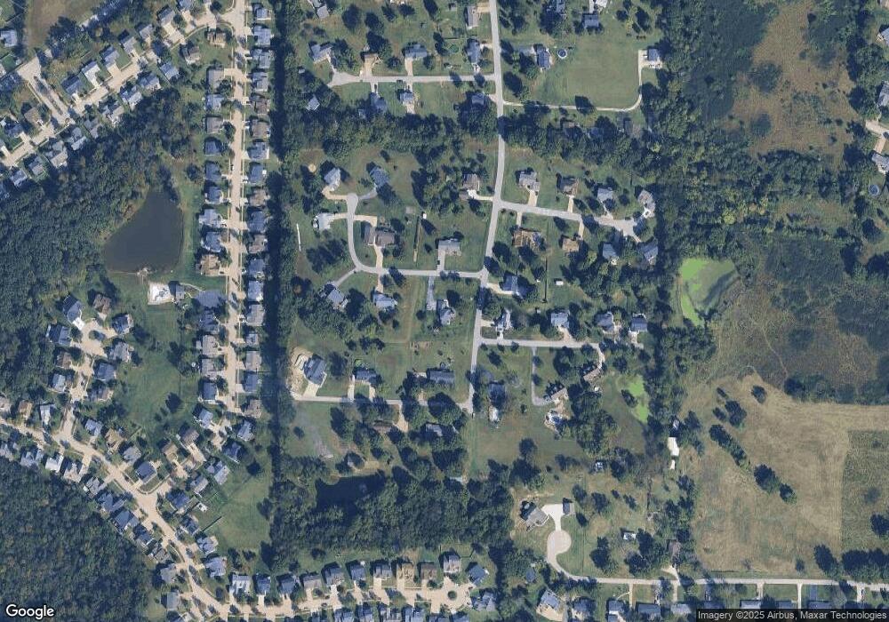
Map
Nearby Homes
- 137 Winter Wheat Trail
- 2120 Old Gray Summit Rd
- 2408 Mountain Peak Ct
- 1009 Westlake Village Dr
- 1713 Lake Meade Dr
- 60 Cedar Brook Dr
- 1704 Lake Meade Dr
- 1718 Highway N
- 1503 Peach Tree Ln
- 1505 Cypress Dr
- 0 Bar Rd Unit MAR25005816
- 0 Bar Rd Unit 22617565
- 806 W Congress St
- 0 Pacific Estates Dr Unit MAR25014960
- 500 W Pacific St
- 400 Denton Rd
- 0 Highland St
- S Denton Rd
- 0 N 6th St Unit MAR24075265
- 601 N Monroe St Unit 9
- 1790 Kristi Ln
- 1943 Patricia Ln
- 1786 Kristi Ln
- 1950 Patricia Ln
- 1941 Crawford Ln
- 1955 Heather Ln
- 1951 Patricia Ln
- 1780 Kristi Ln
- 1972 Patricia Ln
- 1956 Heather Ln
- 1942 Crawford Ln
- 1947 Heather Ln
- 1942 Kesha Ct
- 1771 Kristi Ln
- 1957 Crawford Ln
- 1948 Crawford Ln
- 1959 Patricia Ln
- 1980 Patricia Ln
- 1947 Kesha Ct
- 1946 Heather Ln