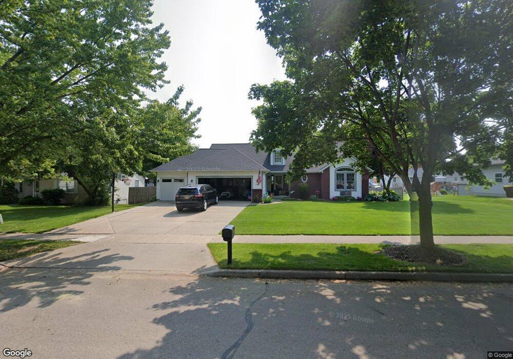
1938 Ruthven Ave NW Grand Rapids, MI 49534
Estimated Value: $397,000 - $472,000
3
Beds
2
Baths
1
Sq Ft
$432,793/Sq Ft
Est. Value
About This Home
This home is located at 1938 Ruthven Ave NW, Grand Rapids, MI 49534 and is currently estimated at $432,793, approximately $432,793 per square foot. 1938 Ruthven Ave NW is a home located in Kent County with nearby schools including Kenowa Hills Central Elementary School, Kenowa Hills Middle School, and Kenowa Hills High School.
Ownership History
Date
Name
Owned For
Owner Type
Purchase Details
Closed on
Apr 2, 2003
Sold by
Howe Jason and Howe Amy
Bought by
Smith James and Smith Demara
Current Estimated Value
Home Financials for this Owner
Home Financials are based on the most recent Mortgage that was taken out on this home.
Original Mortgage
$202,500
Outstanding Balance
$88,715
Interest Rate
6.02%
Mortgage Type
Purchase Money Mortgage
Estimated Equity
$344,078
Purchase Details
Closed on
Aug 17, 1995
Sold by
Hein Robert
Bought by
Howe Jason and Smith James
Purchase Details
Closed on
Aug 14, 1995
Sold by
Ottawa Excavators
Bought by
Hein Robert and Smith James
Create a Home Valuation Report for This Property
The Home Valuation Report is an in-depth analysis detailing your home's value as well as a comparison with similar homes in the area
Home Values in the Area
Average Home Value in this Area
Purchase History
| Date | Buyer | Sale Price | Title Company |
|---|---|---|---|
| Smith James | $220,000 | -- | |
| Howe Jason | $154,000 | -- | |
| Hein Robert | $27,500 | -- |
Source: Public Records
Mortgage History
| Date | Status | Borrower | Loan Amount |
|---|---|---|---|
| Open | Smith James | $202,500 |
Source: Public Records
Tax History Compared to Growth
Tax History
| Year | Tax Paid | Tax Assessment Tax Assessment Total Assessment is a certain percentage of the fair market value that is determined by local assessors to be the total taxable value of land and additions on the property. | Land | Improvement |
|---|---|---|---|---|
| 2025 | $2,433 | $191,800 | $0 | $0 |
| 2024 | $2,433 | $154,500 | $0 | $0 |
| 2023 | $2,327 | $141,900 | $0 | $0 |
| 2022 | $2,503 | $131,500 | $0 | $0 |
| 2021 | $2,439 | $122,000 | $0 | $0 |
| 2020 | $2,141 | $117,500 | $0 | $0 |
| 2019 | $4,024 | $107,500 | $0 | $0 |
| 2018 | $2,315 | $99,100 | $0 | $0 |
| 2017 | $2,250 | $90,300 | $0 | $0 |
| 2016 | $2,162 | $85,200 | $0 | $0 |
| 2015 | $2,042 | $85,200 | $0 | $0 |
| 2013 | -- | $76,200 | $0 | $0 |
Source: Public Records
Map
Nearby Homes
- 1781 Mullins Ave NW
- 3560 Richmond St NW
- 1733 Whitmore Ave NW
- 1596 Geddes Ave NW
- 3120 Richmond St NW
- 3080 Richmond St NW
- 1524 Stark Ave NW
- 2140 Kinney Ave NW
- 2220 Elmridge Dr NW
- 1300 Lancaster Ave NW
- 1289 Lancaster Ave NW
- 2558 Meadow Ridge Dr
- 2549 Meadow Ridge Dr Unit 51
- 1302 Hillburn Ave NW
- 2716 Elmridge Dr NW
- 2551 Kinney Ave NW
- 1270 Hillburn Ave NW Unit 35
- 3405 3 Mile Rd NW
- 2530 Westbrook Dr NW
- 1537 Browning Dr
- 1950 Ruthven Ave NW
- 1926 Ruthven Ave NW
- 1937 Mullins Ave NW
- 1949 Mullins Ave NW
- 1914 Ruthven Ave NW
- 1925 Mullins Ave NW
- 3442 Richmond St NW
- 1945 Ruthven Ave NW
- 1933 Ruthven Ave NW
- 1967 Mullins Ave NW
- 1957 Ruthven Ave NW
- 1921 Ruthven Ave NW
- 1913 Mullins Ave NW
- 1902 Ruthven Ave NW
- 1969 Ruthven Ave NW
- 1909 Ruthven Ave NW
- 1901 Mullins Ave NW
- 1932 Awixa St NW
- 1942 Mullins Ave NW
- 1956 Awixa St NW