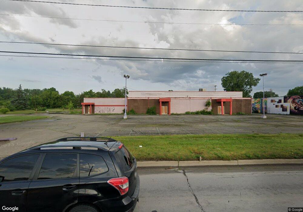
1938 S Dort Hwy Flint, MI 48503
South Parks Neighborhood
--
Bed
--
Bath
36,400
Sq Ft
2.56
Acres
About This Home
This home is located at 1938 S Dort Hwy, Flint, MI 48503. 1938 S Dort Hwy is a home located in Genesee County with nearby schools including Freeman Elementary School, Flint Southwestern Classical Academy, and Flex High Burton.
Ownership History
Date
Name
Owned For
Owner Type
Purchase Details
Closed on
Jan 27, 2016
Sold by
Piece Of The Rock Entertainment Llc
Bought by
Piece Of The Rock Foundation
Purchase Details
Closed on
Jan 25, 2016
Sold by
Greater Flint Outreach Center & Church I
Bought by
Piece Of The Rock Entertainment Llc
Purchase Details
Closed on
May 30, 2014
Sold by
Greater Flint Outreach Center Of Church
Bought by
Piece Of The Rock Entertainment Llc
Purchase Details
Closed on
Oct 29, 2010
Sold by
Ross Gerald D and Ross Frances M
Bought by
Greater Flint Outreach Center & Church I
Create a Home Valuation Report for This Property
The Home Valuation Report is an in-depth analysis detailing your home's value as well as a comparison with similar homes in the area
Home Values in the Area
Average Home Value in this Area
Purchase History
| Date | Buyer | Sale Price | Title Company |
|---|---|---|---|
| Piece Of The Rock Foundation | -- | None Listed On Document | |
| Piece Of The Rock Entertainment Llc | $150,000 | Attorney | |
| Piece Of The Rock Entertainment Llc | -- | Sargents Title Company | |
| Greater Flint Outreach Center & Church I | -- | None Available |
Source: Public Records
Tax History Compared to Growth
Tax History
| Year | Tax Paid | Tax Assessment Tax Assessment Total Assessment is a certain percentage of the fair market value that is determined by local assessors to be the total taxable value of land and additions on the property. | Land | Improvement |
|---|---|---|---|---|
| 2025 | $26,358 | $386,600 | $0 | $0 |
| 2024 | $23,833 | $367,800 | $0 | $0 |
| 2023 | $26,247 | $412,100 | $0 | $0 |
| 2022 | $0 | $392,700 | $0 | $0 |
| 2021 | $26,978 | $374,400 | $0 | $0 |
| 2020 | $24,113 | $366,400 | $0 | $0 |
| 2019 | $33,392 | $378,700 | $0 | $0 |
| 2018 | $25,014 | $360,500 | $0 | $0 |
| 2017 | $26,087 | $0 | $0 | $0 |
| 2016 | $25,434 | $0 | $0 | $0 |
| 2015 | -- | $0 | $0 | $0 |
| 2014 | -- | $0 | $0 | $0 |
| 2012 | -- | $0 | $0 | $0 |
Source: Public Records
Map
Nearby Homes
- 9211 Owen St
- 1840 Mcphail St
- 1937 Chelan St
- 1917 Whittlesey St
- 1925 Gilmartin St
- 1601 Wayne St
- 3373 Kent St
- 1856 Tebo St
- 1940 Tebo St
- 1856 S Averill Ave
- 3511 Kent St
- 2313 Brookside Dr
- 3522 Lynn St
- 2618 Pinetree Dr
- 1110 Pingree Ave
- 2029 Aitken Ave
- 2319 Calumet St
- 1510 S Franklin Ave
- 1409 S Franklin Ave
- 3608 Providence St