1938 S Underwood Ln Joplin, MO 64804
Estimated Value: $244,000 - $338,000
2
Beds
1
Bath
2,400
Sq Ft
$124/Sq Ft
Est. Value
About This Home
This home is located at 1938 S Underwood Ln, Joplin, MO 64804 and is currently estimated at $297,022, approximately $123 per square foot. 1938 S Underwood Ln is a home located in Jasper County with nearby schools including Carl Junction Primary School (K-1), Carl Junction Intermediate School, and Carl Junction Primary School (2-3).
Ownership History
Date
Name
Owned For
Owner Type
Purchase Details
Closed on
Dec 21, 2004
Sold by
Sparks Barbara A and Sparks Charles E
Bought by
Chartier Donald Daniel and Barnes Chartier Ava Jean
Current Estimated Value
Home Financials for this Owner
Home Financials are based on the most recent Mortgage that was taken out on this home.
Original Mortgage
$63,000
Outstanding Balance
$31,655
Interest Rate
5.78%
Mortgage Type
Unknown
Estimated Equity
$265,367
Create a Home Valuation Report for This Property
The Home Valuation Report is an in-depth analysis detailing your home's value as well as a comparison with similar homes in the area
Home Values in the Area
Average Home Value in this Area
Purchase History
| Date | Buyer | Sale Price | Title Company |
|---|---|---|---|
| Chartier Donald Daniel | -- | -- |
Source: Public Records
Mortgage History
| Date | Status | Borrower | Loan Amount |
|---|---|---|---|
| Open | Chartier Donald Daniel | $63,000 |
Source: Public Records
Tax History Compared to Growth
Tax History
| Year | Tax Paid | Tax Assessment Tax Assessment Total Assessment is a certain percentage of the fair market value that is determined by local assessors to be the total taxable value of land and additions on the property. | Land | Improvement |
|---|---|---|---|---|
| 2024 | $1,240 | $24,850 | $6,010 | $18,840 |
| 2023 | $1,240 | $24,850 | $6,010 | $18,840 |
| 2022 | $1,254 | $24,950 | $6,010 | $18,940 |
| 2021 | $1,246 | $24,950 | $6,010 | $18,940 |
| 2020 | $1,188 | $23,410 | $6,010 | $17,400 |
| 2019 | $980 | $20,350 | $6,010 | $14,340 |
| 2018 | $884 | $18,410 | $0 | $0 |
| 2017 | $886 | $18,410 | $0 | $0 |
| 2016 | $878 | $18,410 | $0 | $0 |
| 2015 | $859 | $18,410 | $0 | $0 |
| 2014 | $859 | $18,410 | $0 | $0 |
Source: Public Records
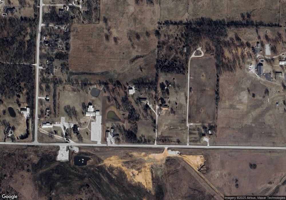
Map
Nearby Homes
- 7114 W 20th St
- TBD W Wildwood Ranch Pkwy
- 1823 E 12th St
- 1105 Princeton St
- 1366 S Twin Oaks Ln
- 1506 E 13th St
- 1210 Madison St
- TBD Antelope Rd
- 1813 E Front St
- 4709 W 28th Place
- 1220 Keller St
- 4308 Par Ln
- 15XX S John Duffy Dr
- 1958 S Black Cat Rd
- 4431 W 29th St
- TBD S Black Cat Rd
- 900 E 7th St
- 2930 Heartland Ave
- 920 E 19th St
- 1809, 1811 1813 East Front St
- 1937 S Underwood Ln
- 6459 W 20th St
- 1977 Dry Creek Ln
- 648 Rr 10
- 6275 W 20th St
- 1972 Dry Creek Ln
- 1895 S Malang Rd
- 1941 S Malang Rd
- 1763 S Malang Rd
- 6661 W Burgandy Ln
- 1582 S Black Bear Ln
- 6633 N Burgandy Ln
- 6633 N Burgandy Ln Unit 1
- 203 S Eagle Ln
- 217 S Eagle Ln
- 6857 W 20th St
- 1705 S Malang Rd
- 6930 Journey Ln
- 1949 Snowberry Ln
- 6338 W Junge Blvd