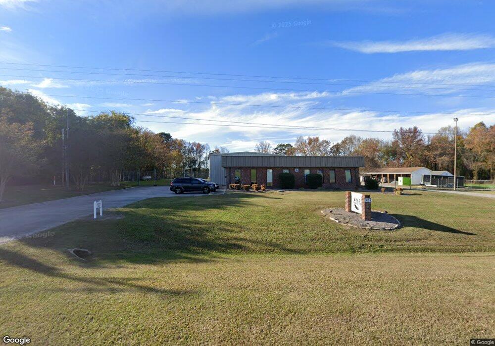
1939 Firestone Pkwy Wilson, NC 27893
Estimated Value: $424,286
--
Bed
--
Bath
7,380
Sq Ft
$57/Sq Ft
Est. Value
About This Home
This home is located at 1939 Firestone Pkwy, Wilson, NC 27893 and is currently estimated at $424,286, approximately $57 per square foot. 1939 Firestone Pkwy is a home located in Wilson County with nearby schools including Margaret Hearne Elementary School, Toisnot Middle School, and Fike High School.
Ownership History
Date
Name
Owned For
Owner Type
Purchase Details
Closed on
Mar 14, 2025
Sold by
Howard Mildred J
Bought by
Lrj Development Inc
Current Estimated Value
Purchase Details
Closed on
May 30, 2007
Sold by
Howard Randy M and Howard Mildred J
Bought by
Rmh Leasing Llc
Create a Home Valuation Report for This Property
The Home Valuation Report is an in-depth analysis detailing your home's value as well as a comparison with similar homes in the area
Home Values in the Area
Average Home Value in this Area
Purchase History
| Date | Buyer | Sale Price | Title Company |
|---|---|---|---|
| Lrj Development Inc | $400,000 | None Listed On Document | |
| Howard Mildred J | -- | None Listed On Document | |
| Lrj Development Inc | $400,000 | None Listed On Document | |
| Rmh Leasing Llc | -- | None Available |
Source: Public Records
Tax History Compared to Growth
Tax History
| Year | Tax Paid | Tax Assessment Tax Assessment Total Assessment is a certain percentage of the fair market value that is determined by local assessors to be the total taxable value of land and additions on the property. | Land | Improvement |
|---|---|---|---|---|
| 2025 | $1,184 | $163,358 | $41,654 | $121,704 |
| 2024 | $1,184 | $163,358 | $41,654 | $121,704 |
| 2023 | $1,555 | $179,742 | $41,654 | $138,088 |
| 2022 | $1,473 | $170,295 | $41,654 | $128,641 |
| 2021 | $1,473 | $170,295 | $41,654 | $128,641 |
| 2020 | $1,473 | $170,295 | $41,654 | $128,641 |
| 2019 | $1,473 | $170,295 | $41,654 | $128,641 |
| 2018 | $1,473 | $170,295 | $41,654 | $128,641 |
| 2017 | $1,473 | $170,295 | $41,654 | $128,641 |
| 2016 | $1,473 | $170,295 | $41,654 | $128,641 |
| 2014 | $1,743 | $201,482 | $41,654 | $159,828 |
Source: Public Records
Map
Nearby Homes
- 1933 Firestone Pkwy NE
- 2141 Firestone Pkwy NE
- 1205 Toisnot Ave NE
- 2214 Banks Ln E
- 1005 Toisnot Ave NE
- 503 Anson St NE
- 511 Herring Ave NE
- 605 Grove St NE
- 1003 Academy St E
- 710 Grove St NE
- 631 Vance St E
- 2110 Shamrock Dr E
- 610 Crowell St E
- 607 Vance St E
- 204 Lee St NE
- 3023 Winding Ridge Dr
- 2111 Fieldcrest Rd E
- 313 Railroad St E
- 307 Elba St E
- 310 Maplewood Ave NE
- 0 Firestone NE
- 1708 London Church Rd NE Unit D
- 1708 London Church Rd NE Unit C
- 1708 London Church Rd NE
- 1801 Firestone Pkwy
- 1800 London Church Rd NE
- 1901 Poythress Rd
- 1812 London Church Rd NE
- 1716 London Church Rd NE
- 1772 London Church Rd NE
- 1721 Herring Ave E
- 1710 London Church Rd NE
- 1917D Poythress Rd
- 1917A Poythress Rd
- 1917 Poythress Rd Unit C
- 1905 Poythress Rd
- 00 London Church Rd NE
- 5111 London Church Rd NE
- 5105 London Church Rd NE
- 1945 Poythress Rd