1939 NW 111th Loop Ocala, FL 34475
Northwest Ocala NeighborhoodEstimated Value: $547,018 - $611,000
3
Beds
2
Baths
2,257
Sq Ft
$252/Sq Ft
Est. Value
About This Home
This home is located at 1939 NW 111th Loop, Ocala, FL 34475 and is currently estimated at $568,755, approximately $251 per square foot. 1939 NW 111th Loop is a home located in Marion County with nearby schools including Fessenden Elementary School, North Marion Middle School, and North Marion High School.
Ownership History
Date
Name
Owned For
Owner Type
Purchase Details
Closed on
Sep 13, 2006
Sold by
Mcdonald Edward D
Bought by
Bernadt James L and Cody Lynda C
Current Estimated Value
Purchase Details
Closed on
Dec 21, 2005
Sold by
Partin Harold D and Partin Deborah
Bought by
Mcdonald Edward D
Home Financials for this Owner
Home Financials are based on the most recent Mortgage that was taken out on this home.
Original Mortgage
$300,000
Interest Rate
6.59%
Mortgage Type
Fannie Mae Freddie Mac
Create a Home Valuation Report for This Property
The Home Valuation Report is an in-depth analysis detailing your home's value as well as a comparison with similar homes in the area
Home Values in the Area
Average Home Value in this Area
Purchase History
| Date | Buyer | Sale Price | Title Company |
|---|---|---|---|
| Bernadt James L | $415,000 | All American Land Title Insu | |
| Mcdonald Edward D | $375,000 | All American Land Title Insu |
Source: Public Records
Mortgage History
| Date | Status | Borrower | Loan Amount |
|---|---|---|---|
| Previous Owner | Mcdonald Edward D | $300,000 |
Source: Public Records
Tax History
| Year | Tax Paid | Tax Assessment Tax Assessment Total Assessment is a certain percentage of the fair market value that is determined by local assessors to be the total taxable value of land and additions on the property. | Land | Improvement |
|---|---|---|---|---|
| 2025 | $7,155 | $258,461 | -- | -- |
| 2024 | $6,888 | $251,177 | -- | -- |
| 2023 | $6,888 | $243,861 | -- | -- |
| 2022 | $3,415 | $236,758 | $0 | $0 |
| 2021 | $3,415 | $229,862 | $0 | $0 |
| 2020 | $3,388 | $226,688 | $0 | $0 |
| 2019 | $3,338 | $221,591 | $40,000 | $181,591 |
| 2018 | $3,211 | $220,540 | $0 | $0 |
| 2017 | $3,107 | $213,204 | $0 | $0 |
| 2016 | $3,060 | $208,819 | $0 | $0 |
| 2015 | $3,082 | $207,367 | $0 | $0 |
| 2014 | $2,999 | $212,055 | $0 | $0 |
Source: Public Records
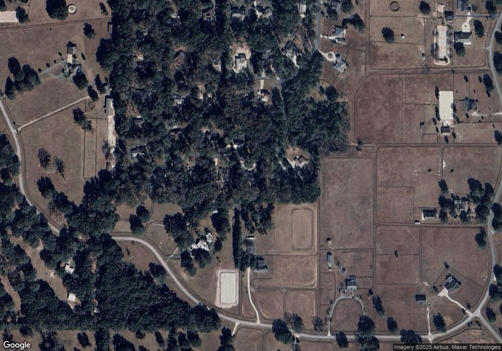
Map
Nearby Homes
- 2185 NW 114th Loop
- 12020 N US Highway 441
- 2110 NW 100th St
- TBD NW 100th St
- 634 NW 114th St
- 00 NW 100 St Us Hwy 441 27
- 2198 W Highway 329
- 9805 NW 6th Ct
- 11408 N Magnolia Ave
- TBD NW 123rd Place
- 9901 NW 6th Ct
- 1801 W Highway 329
- 0 NW 95th St Unit Lot 8
- 0000 NW 124th St
- 1631 W Highway 329
- 838 NW 124th St
- 11403 N Magnolia Ave
- 000 NW 8th Ave
- 12006 N Magnolia Ave
- 3440 W Highway 329
- 1930 NW 111th Loop
- 1940 NW 111th Loop
- 1929 NW 111th Loop
- 1945 NW 111th Loop
- 1919 NW 111th Loop
- 1950 NW 111th Loop
- 11155 NW 17th Court Rd
- 1949 NW 111th Loop
- 11145 NW 17th Court Rd
- 1980 NW 111th Loop
- 2000 NW 111th Loop
- 1760 NW 114th Loop
- 1860 NW 114th Loop
- 11150 NW 17th Court Rd
- 11160 NW 17th Court Rd
- 1979 NW 111th Loop
- 11170 NW 17th Court Rd
- 11130 NW 17th Court Rd
- 11181 NW 17th Court Rd
- 1999 NW 111th Loop
Your Personal Tour Guide
Ask me questions while you tour the home.