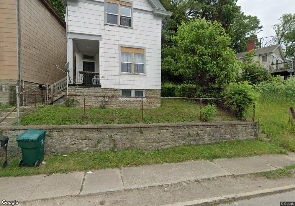
1939 State Ave Cincinnati, OH 45204
South Fairmount NeighborhoodEstimated Value: $59,000 - $102,000
2
Beds
1
Bath
1,140
Sq Ft
$71/Sq Ft
Est. Value
About This Home
This home is located at 1939 State Ave, Cincinnati, OH 45204 and is currently estimated at $80,964, approximately $71 per square foot. 1939 State Ave is a home located in Hamilton County with nearby schools including Oyler School, Robert A. Taft Information Technology High School, and Gilbert A. Dater High School.
Ownership History
Date
Name
Owned For
Owner Type
Purchase Details
Closed on
Feb 17, 2017
Sold by
Brand Dwight
Bought by
213 Properties Llc
Current Estimated Value
Purchase Details
Closed on
Dec 8, 2010
Sold by
Daniel Annemarie
Bought by
Brand Dwight
Purchase Details
Closed on
Feb 19, 2009
Sold by
Morgan Juanita
Bought by
Daniel Anne Marie
Create a Home Valuation Report for This Property
The Home Valuation Report is an in-depth analysis detailing your home's value as well as a comparison with similar homes in the area
Home Values in the Area
Average Home Value in this Area
Purchase History
| Date | Buyer | Sale Price | Title Company |
|---|---|---|---|
| 213 Properties Llc | $5,000 | Sojourers Title | |
| Brand Dwight | -- | Attorney | |
| Daniel Anne Marie | $8,000 | None Available |
Source: Public Records
Tax History
| Year | Tax Paid | Tax Assessment Tax Assessment Total Assessment is a certain percentage of the fair market value that is determined by local assessors to be the total taxable value of land and additions on the property. | Land | Improvement |
|---|---|---|---|---|
| 2025 | $831 | $12,923 | $1,208 | $11,715 |
| 2024 | $830 | $12,923 | $1,208 | $11,715 |
| 2023 | $831 | $12,923 | $1,208 | $11,715 |
| 2022 | $137 | $1,750 | $973 | $777 |
| 2021 | $130 | $1,750 | $973 | $777 |
| 2020 | $131 | $1,750 | $973 | $777 |
| 2019 | $143 | $1,750 | $973 | $777 |
| 2018 | $143 | $1,750 | $973 | $777 |
| 2017 | $478 | $6,381 | $973 | $5,408 |
| 2016 | $182 | $2,300 | $2,058 | $242 |
| 2015 | $164 | $2,300 | $2,058 | $242 |
| 2014 | $165 | $2,300 | $2,058 | $242 |
| 2013 | $170 | $2,345 | $2,100 | $245 |
Source: Public Records
Map
Nearby Homes
- 1948 State Ave
- 1900 State Ave
- 1708 State Ave
- 1671 State Ave
- 1669 State Ave
- 2182 Grand Ave
- 2173 Clara St
- 2169 Clara St
- 2165 Clara St
- 2281 Northside Ave
- 1646 State Ave
- 1699 Westwood Ave
- 2227 Grand Ave
- 1823 Waverly Ave
- 1724 Esmonde St
- 1637 Waverly Ave
- 1132 Dayton St
- 1712 Queen City Ave
- 1113 Bank St
- 1110 Garden St
Your Personal Tour Guide
Ask me questions while you tour the home.