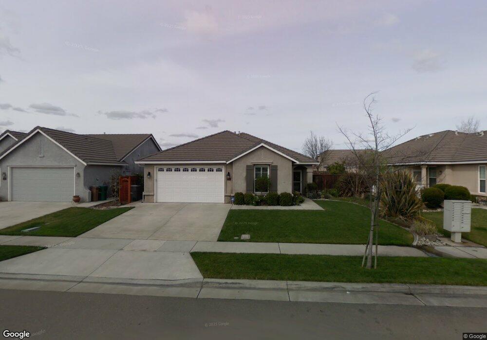
1939 Wyndham Way Lodi, CA 95242
Central Lodi NeighborhoodEstimated Value: $534,000 - $579,000
About This Home
This home is located at 1939 Wyndham Way, Lodi, CA 95242 and is currently estimated at $560,293, approximately $284 per square foot. 1939 Wyndham Way is a home located in San Joaquin County with nearby schools including Ellerth E. Larson Elementary School, Lodi Middle School, and Tokay High School.
Ownership History
We collect this data history from publicly available records. To have your information removed, we recommend requesting removal directly through your county’s website.
Purchase Details
Purchase Details
Home Financials for this Owner
Home Financials are based on the most recent Mortgage that was taken out on this home.Home Values in the Area
Average Home Value in this Area
Purchase History
We collect this data history from publicly available records. To have your information removed, we recommend requesting removal directly through your county’s website.
| Date | Buyer | Sale Price | Title Company |
|---|---|---|---|
| -- | None Available | ||
| $247,500 | Chicago Title Co |
Mortgage History
We collect this data history from publicly available records. To have your information removed, we recommend requesting removal directly through your county’s website.
| Date | Status | Borrower | Loan Amount |
|---|---|---|---|
| Closed | $163,600 |
Tax History
We collect this data history from publicly available records. To have your information removed, we recommend requesting removal directly through your county’s website.
| Year | Tax Paid | Tax Assessment Tax Assessment Total Assessment is a certain percentage of the fair market value that is determined by local assessors to be the total taxable value of land and additions on the property. | Land | Improvement |
|---|---|---|---|---|
| 2025 | $3,806 | $357,787 | $107,167 | $250,620 |
| 2024 | $3,701 | $350,772 | $105,066 | $245,706 |
| 2023 | $3,657 | $343,895 | $103,006 | $240,889 |
| 2022 | $3,574 | $337,153 | $100,987 | $236,166 |
| 2021 | $3,637 | $330,543 | $99,007 | $231,536 |
| 2020 | $3,542 | $327,154 | $97,992 | $229,162 |
| 2019 | $3,469 | $320,740 | $96,071 | $224,669 |
| 2018 | $3,419 | $314,452 | $94,188 | $220,264 |
| 2017 | $3,342 | $308,288 | $92,342 | $215,946 |
| 2016 | $3,131 | $302,246 | $90,532 | $211,714 |
| 2014 | $3,054 | $291,878 | $87,427 | $204,451 |
Map
- 1962 Lexington Dr
- 2439 Meridian Dr
- 2542 Colony Dr
- 2088 Incline Dr
- 2308 Heavenly Way
- 2315 Heavenly Way
- 2531 Poppy Dr
- 2227 Heavenly Way
- 1927 S Mills Ave Unit 3
- 1483 Centennial Dr
- 1918 S Mills Ave Unit 3
- 2385 Giannoni Way
- 1952 Roualt Way
- 1830 Lakeshore Dr
- 1541 Camphor Way
- 1812 Cape Cod CI
- 2331 Henri Ln
- 2386 Satin Leaf Ct
- 2412 Satin Leaf St
- 2460 Satin Leaf St
- 1928 Millbrook Dr
- 1922 Millbrook Dr
- 1934 Millbrook Dr
- 1933 Wyndham Way
- 1916 Millbrook Dr
- 1940 Millbrook Dr
- 1927 Wyndham Way
- 2348 Portsmouth Dr
- 1921 Wyndham Way
- 1945 Wyndham Way
- 1910 Millbrook Dr
- 1946 Millbrook Dr
- 1915 Millbrook Dr
- 1915 Wyndham Way
- 2340 Portsmouth Dr
- 1951 Wyndham Way
- 1907 Millbrook Dr
- 2341 Portsmouth Dr
- 1952 Millbrook Dr
- 1945 Millbrook Dr
Ask me questions while you tour the home.