194 Amelia Ln Lopez Island, WA 98261
Estimated Value: $778,000 - $1,306,000
3
Beds
2
Baths
1,020
Sq Ft
$1,122/Sq Ft
Est. Value
About This Home
This home is located at 194 Amelia Ln, Lopez Island, WA 98261 and is currently estimated at $1,144,401, approximately $1,121 per square foot. 194 Amelia Ln is a home located in San Juan County with nearby schools including Lopez Elementary School and Lopez Middle High School.
Ownership History
Date
Name
Owned For
Owner Type
Purchase Details
Closed on
May 17, 2022
Sold by
Ayres Nola B and Ayres Charles H
Bought by
Lopez Vacation Home Llc
Current Estimated Value
Purchase Details
Closed on
Jul 3, 2007
Sold by
Mccauley Aletha and Revocable Living Trust Of Alet
Bought by
Ayres Nola and Ayres Charles
Purchase Details
Closed on
Jul 12, 2006
Sold by
Mccauley Aletha
Bought by
Mccauley Aletha and Revocable Living Trust Of Alet
Create a Home Valuation Report for This Property
The Home Valuation Report is an in-depth analysis detailing your home's value as well as a comparison with similar homes in the area
Home Values in the Area
Average Home Value in this Area
Purchase History
| Date | Buyer | Sale Price | Title Company |
|---|---|---|---|
| Lopez Vacation Home Llc | -- | None Listed On Document | |
| Ayres Nola | -- | None Available | |
| Mccauley Aletha | -- | None Available |
Source: Public Records
Tax History Compared to Growth
Tax History
| Year | Tax Paid | Tax Assessment Tax Assessment Total Assessment is a certain percentage of the fair market value that is determined by local assessors to be the total taxable value of land and additions on the property. | Land | Improvement |
|---|---|---|---|---|
| 2024 | $6,455 | $1,148,600 | $836,460 | $312,140 |
| 2023 | $6,455 | $1,083,170 | $760,420 | $322,750 |
| 2022 | $3,931 | $707,130 | $426,590 | $280,540 |
| 2021 | $3,782 | $489,920 | $275,220 | $214,700 |
| 2020 | $3,799 | $480,700 | $275,220 | $205,480 |
| 2019 | $3,517 | $487,070 | $275,220 | $211,850 |
| 2018 | $4,067 | $660,660 | $449,990 | $210,670 |
| 2017 | $3,258 | $486,110 | $295,240 | $190,870 |
| 2016 | $2,912 | $461,840 | $310,000 | $151,840 |
| 2015 | $2,912 | $469,740 | $310,000 | $159,740 |
| 2014 | $2,912 | $494,290 | $310,000 | $184,290 |
| 2012 | $2,912 | $494,760 | $310,000 | $184,760 |
Source: Public Records
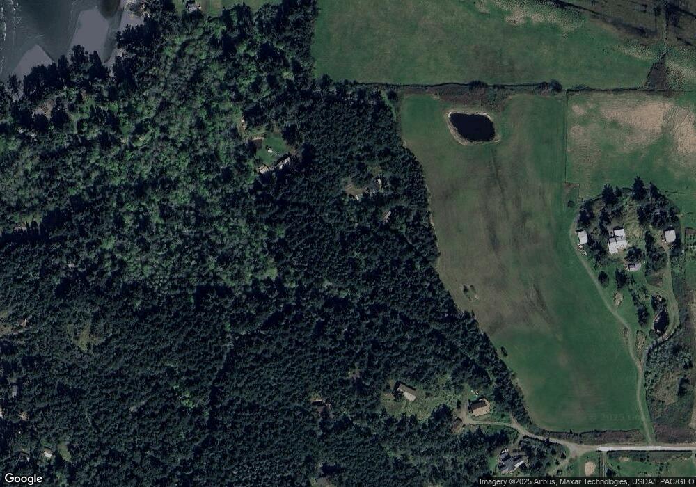
Map
Nearby Homes
- 353 Davies Dr
- 0 Channel Rd Unit NWM2377246
- 1794 Bayshore Rd
- 65 Dolphin Ln
- 1898 Bayshore Rd
- 27 Dryad Place
- 268 Rum Runner Rd
- 295 Rum Runner Rd
- 4 Rum Runner Rd
- 583 Rum Runner Rd
- 140 Sweetbrier Ln
- 317 Eagles Roost Ln
- 5621 Fisherman Bay Rd
- 315 Mariner Dr
- 123 School Rd
- 549 Davis Bay Rd
- 1486 Center Rd
- 472 Redtail Ln
- 95 Weeks Rd
- 104 Estenson Rd