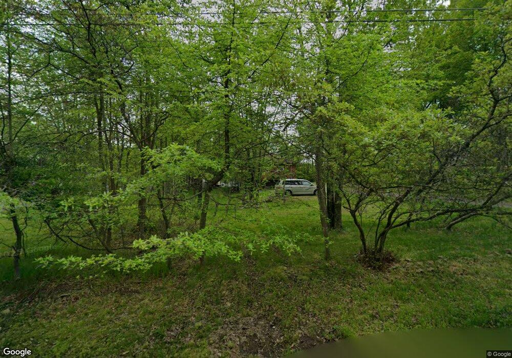
194 Cedar Dr Long Pond, PA 18334
Estimated Value: $181,000 - $224,000
2
Beds
1
Bath
784
Sq Ft
$257/Sq Ft
Est. Value
About This Home
This home is located at 194 Cedar Dr, Long Pond, PA 18334 and is currently estimated at $201,444, approximately $256 per square foot. 194 Cedar Dr is a home with nearby schools including Clear Run Intermediate School, Pocono Mountain West Junior High School, and Pocono Mountain West High School.
Ownership History
Date
Name
Owned For
Owner Type
Purchase Details
Closed on
Jul 6, 2011
Sold by
Secretary Of Housing & Urban Development
Bought by
Wyszynski Marcin and Wyszynski Bernadeta
Current Estimated Value
Purchase Details
Closed on
Dec 27, 2010
Sold by
Wells Fargo Bank N A
Bought by
Secretary Of Housing & Urban Development
Purchase Details
Closed on
Nov 24, 2010
Sold by
Perkins Leslie D
Bought by
Wells Fargo Bank N A
Purchase Details
Closed on
Dec 27, 2005
Sold by
Kramer William E and Kramer Sandra J
Bought by
Perkins Leslie D
Home Financials for this Owner
Home Financials are based on the most recent Mortgage that was taken out on this home.
Original Mortgage
$114,098
Interest Rate
6.28%
Mortgage Type
Stand Alone Second
Create a Home Valuation Report for This Property
The Home Valuation Report is an in-depth analysis detailing your home's value as well as a comparison with similar homes in the area
Home Values in the Area
Average Home Value in this Area
Purchase History
| Date | Buyer | Sale Price | Title Company |
|---|---|---|---|
| Wyszynski Marcin | $30,000 | None Available | |
| Secretary Of Housing & Urban Development | -- | None Available | |
| Wells Fargo Bank N A | $1,758 | None Available | |
| Perkins Leslie D | $115,000 | 1St Patriot Abstract Of Lv I |
Source: Public Records
Mortgage History
| Date | Status | Borrower | Loan Amount |
|---|---|---|---|
| Previous Owner | Perkins Leslie D | $114,098 |
Source: Public Records
Tax History Compared to Growth
Tax History
| Year | Tax Paid | Tax Assessment Tax Assessment Total Assessment is a certain percentage of the fair market value that is determined by local assessors to be the total taxable value of land and additions on the property. | Land | Improvement |
|---|---|---|---|---|
| 2025 | $521 | $69,580 | $20,240 | $49,340 |
| 2024 | $417 | $69,580 | $20,240 | $49,340 |
| 2023 | $1,769 | $69,580 | $20,240 | $49,340 |
| 2022 | $1,738 | $69,580 | $20,240 | $49,340 |
| 2021 | $1,738 | $69,580 | $20,240 | $49,340 |
| 2020 | $1,749 | $69,580 | $20,240 | $49,340 |
| 2019 | $2,623 | $15,630 | $4,500 | $11,130 |
| 2018 | $2,623 | $15,630 | $4,500 | $11,130 |
| 2017 | $2,654 | $15,630 | $4,500 | $11,130 |
| 2016 | $524 | $15,630 | $4,500 | $11,130 |
| 2015 | -- | $15,630 | $4,500 | $11,130 |
| 2014 | -- | $15,630 | $4,500 | $11,130 |
Source: Public Records
Map
Nearby Homes
- 119 Tumbleweed Dr
- lot 5881 Tumbleweed Dr
- lot 5882 Tumbleweed Dr
- 1456 Clover Rd
- 1488 Clover Rd
- lot 5916 Wild Laurel Dr
- lot 5915 Wild Laurel Dr
- 2133 Wild Laurel Dr
- 265 Cedar Dr
- 1224 Clover Rd
- 7150 Glade Dr
- 1280 Clover Rd
- 161 Beaver Dam Rd
- 200 W Clover Ct
- 112 N Glade Ct
- 306 Cedar Dr
- 1591 Clover Rd
- 7139 Country Ct
- 1325 Glade Dr Unit Lot 7143
- 5788 Clover Rd
