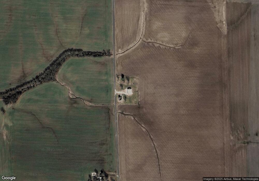
194 Cherry Lane Rd Pocahontas, IL 62275
Estimated Value: $277,000 - $360,000
--
Bed
1
Bath
1,792
Sq Ft
$178/Sq Ft
Est. Value
About This Home
This home is located at 194 Cherry Lane Rd, Pocahontas, IL 62275 and is currently estimated at $318,906, approximately $177 per square foot. 194 Cherry Lane Rd is a home located in Bond County with nearby schools including Bond County Community Unit 2 High School.
Ownership History
Date
Name
Owned For
Owner Type
Purchase Details
Closed on
Feb 7, 2022
Sold by
Hollenkamp Troy R and Hollenkamp Allie P
Bought by
Jeffers Robert and Jeffers Lauren K
Current Estimated Value
Home Financials for this Owner
Home Financials are based on the most recent Mortgage that was taken out on this home.
Original Mortgage
$234,000
Outstanding Balance
$214,740
Interest Rate
2.63%
Mortgage Type
VA
Estimated Equity
$104,166
Purchase Details
Closed on
Nov 6, 2015
Sold by
Hollenkamp Allie P and Hollenkamp Troy R
Bought by
Hollenkamp Allie P and Hollenkamp Troy R
Purchase Details
Closed on
Jan 2, 2008
Sold by
Bruce Duane H and Bruce Cristina M
Bought by
Hollenkamp Troy R
Home Financials for this Owner
Home Financials are based on the most recent Mortgage that was taken out on this home.
Original Mortgage
$130,000
Interest Rate
5.95%
Mortgage Type
Unknown
Create a Home Valuation Report for This Property
The Home Valuation Report is an in-depth analysis detailing your home's value as well as a comparison with similar homes in the area
Home Values in the Area
Average Home Value in this Area
Purchase History
| Date | Buyer | Sale Price | Title Company |
|---|---|---|---|
| Jeffers Robert | $234,000 | Certified Title | |
| Hollenkamp Allie P | -- | Benchmark Title Company Llc | |
| Hollenkamp Troy R | $137,500 | -- |
Source: Public Records
Mortgage History
| Date | Status | Borrower | Loan Amount |
|---|---|---|---|
| Open | Jeffers Robert | $234,000 | |
| Previous Owner | Hollenkamp Troy R | $130,000 |
Source: Public Records
Tax History Compared to Growth
Tax History
| Year | Tax Paid | Tax Assessment Tax Assessment Total Assessment is a certain percentage of the fair market value that is determined by local assessors to be the total taxable value of land and additions on the property. | Land | Improvement |
|---|---|---|---|---|
| 2023 | $4,818 | $73,044 | $6,347 | $66,697 |
| 2022 | $4,630 | $69,047 | $6,000 | $63,047 |
| 2021 | $1,860 | $27,082 | $3,000 | $24,082 |
| 2020 | $1,886 | $27,082 | $3,000 | $24,082 |
| 2019 | $1,886 | $27,082 | $3,000 | $24,082 |
| 2018 | $1,874 | $27,082 | $3,000 | $24,082 |
| 2016 | $1,788 | $27,082 | $3,000 | $24,082 |
| 2015 | $2,144 | $27,082 | $3,000 | $24,082 |
| 2013 | $214 | $32,515 | $4,370 | $28,145 |
| 2011 | $2,088 | $32,515 | $4,370 | $28,145 |
Source: Public Records
Map
Nearby Homes
- 000 Hug Cemetery Rd
- 4 Hill Valley Dr
- 112 Blaine St
- 371 Frey Meadows Rd
- 204 E Kavanaugh St
- 0 W State St
- 0 W State Street Lot 3 Unit MAR24014942
- 0 W State Street Lot 2 Unit MAR24014905
- 0 W State Street Lot 1 Unit MAR24014842
- 39 W State St
- 38 W State St
- 35 W State St
- 34 W State St
- 33 W State St
- 32 W State St
- 29 W State St
- 37 W State St
- 36 W State St
- 26 W State St
- 25 W State St
