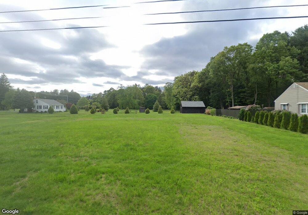
194 Dry Bridge Rd Westfield, MA 01085
Estimated Value: $370,246
--
Bed
1
Bath
--
Sq Ft
0.4
Acres
About This Home
This home is located at 194 Dry Bridge Rd, Westfield, MA 01085 and is currently estimated at $370,246. 194 Dry Bridge Rd is a home located in Hampden County with nearby schools including Westfield High School and Saint Mary High School.
Ownership History
Date
Name
Owned For
Owner Type
Purchase Details
Closed on
Oct 9, 2013
Sold by
Cicerchia Arthur P and Cicerchia Ellaine A
Bought by
Westfield City Of
Current Estimated Value
Purchase Details
Closed on
Apr 27, 1999
Sold by
Wood Eric A
Bought by
Cicerchia Arthur P and Cicerchia Ellaine A
Purchase Details
Closed on
Sep 8, 1995
Sold by
Rogers Anthony J and Rogers Mary L
Bought by
Wood Eric A
Purchase Details
Closed on
Sep 30, 1988
Sold by
Hawkins Kevin E
Bought by
Rogers Anthony J
Create a Home Valuation Report for This Property
The Home Valuation Report is an in-depth analysis detailing your home's value as well as a comparison with similar homes in the area
Home Values in the Area
Average Home Value in this Area
Purchase History
| Date | Buyer | Sale Price | Title Company |
|---|---|---|---|
| Westfield City Of | $185,000 | -- | |
| Cicerchia Arthur P | $108,000 | -- | |
| Wood Eric A | $103,427 | -- | |
| Rogers Anthony J | $106,000 | -- |
Source: Public Records
Mortgage History
| Date | Status | Borrower | Loan Amount |
|---|---|---|---|
| Previous Owner | Rogers Anthony J | $10,277 | |
| Previous Owner | Rogers Anthony J | $104,731 | |
| Previous Owner | Rogers Anthony J | $14,499 |
Source: Public Records
Tax History Compared to Growth
Tax History
| Year | Tax Paid | Tax Assessment Tax Assessment Total Assessment is a certain percentage of the fair market value that is determined by local assessors to be the total taxable value of land and additions on the property. | Land | Improvement |
|---|---|---|---|---|
| 2025 | -- | $1,600 | $1,600 | $0 |
| 2024 | -- | $1,600 | $1,600 | $0 |
| 2023 | $0 | $1,500 | $1,500 | $0 |
| 2022 | $0 | $1,500 | $1,500 | $0 |
| 2021 | $3,256 | $1,500 | $1,500 | $0 |
| 2020 | $0 | $1,500 | $1,500 | $0 |
| 2019 | $2,889 | $84,400 | $84,400 | $0 |
| 2018 | $0 | $84,400 | $84,400 | $0 |
| 2017 | $0 | $85,600 | $85,600 | $0 |
| 2016 | -- | $85,600 | $85,600 | $0 |
| 2015 | -- | $187,400 | $85,600 | $101,800 |
| 2014 | -- | $183,800 | $82,000 | $101,800 |
Source: Public Records
Map
Nearby Homes
- 26 Deepwoods Dr
- 0 Holyoke Rd
- 14 Lynnwood Dr
- 19 Arch Rd
- 119 Union St Unit 4
- 351 N Elm St
- 111 Union St Unit 6
- 99 Woodmont St
- 120 Woodcliff Dr
- 72-74 Notre Dame St
- 99 Hillcrest Cir
- 242 Eastwood Dr
- 3 Norton St
- 9 Crown St
- 10 Ethan Ave
- 53 Bristol St
- 16 Glen Ridge Dr
- 13 William St
- 13 Furrow St
- Lot 3 Montgomery
- 204 Dry Bridge Rd
- 362 Holyoke Rd
- 344 Holyoke Rd
- 183 Dry Bridge Rd
- 203 Dry Bridge Rd
- 212 Dry Bridge Rd
- 342 Holyoke Rd
- 380 Holyoke Rd
- 209 Dry Bridge Rd
- 384 Holyoke Rd
- 217 Dry Bridge Rd
- 222 Dry Bridge Rd
- 359 Holyoke Rd
- 340 Holyoke Rd
- 375 Holyoke Rd
- 390 Holyoke Rd
- 355 Holyoke Rd
- 383 Holyoke Rd
- 225 Dry Bridge Rd
- 232 Dry Bridge Rd