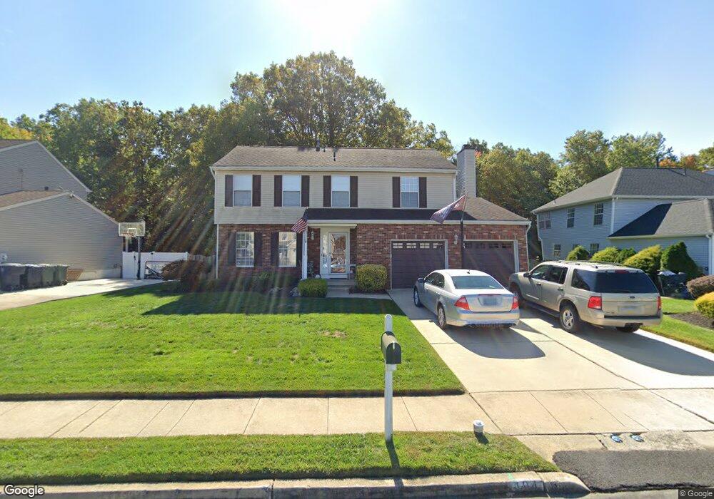
194 Dundee Dr Williamstown, NJ 08094
Monroe Township Gloucester NeighborhoodEstimated Value: $439,552 - $492,000
--
Bed
--
Bath
1,876
Sq Ft
$246/Sq Ft
Est. Value
About This Home
This home is located at 194 Dundee Dr, Williamstown, NJ 08094 and is currently estimated at $461,388, approximately $245 per square foot. 194 Dundee Dr is a home located in Gloucester County with nearby schools including Williamstown High School, St. Mary School, and Finest of the Wheat Christian.
Ownership History
Date
Name
Owned For
Owner Type
Purchase Details
Closed on
Jul 8, 2009
Sold by
Brydges Dennis B and Brydges Jeanne E
Bought by
Brydges Jeanne E
Current Estimated Value
Home Financials for this Owner
Home Financials are based on the most recent Mortgage that was taken out on this home.
Original Mortgage
$225,600
Outstanding Balance
$145,129
Interest Rate
5.19%
Mortgage Type
New Conventional
Estimated Equity
$316,259
Purchase Details
Closed on
Jan 29, 2002
Sold by
Coe Richard P and Coe Patricia M
Bought by
Brydges Dennis B and Brydges Jeanne E
Home Financials for this Owner
Home Financials are based on the most recent Mortgage that was taken out on this home.
Original Mortgage
$174,997
Interest Rate
7.15%
Mortgage Type
VA
Create a Home Valuation Report for This Property
The Home Valuation Report is an in-depth analysis detailing your home's value as well as a comparison with similar homes in the area
Home Values in the Area
Average Home Value in this Area
Purchase History
| Date | Buyer | Sale Price | Title Company |
|---|---|---|---|
| Brydges Jeanne E | -- | Arbor Title Agents Inc | |
| Brydges Dennis B | $169,900 | -- |
Source: Public Records
Mortgage History
| Date | Status | Borrower | Loan Amount |
|---|---|---|---|
| Open | Brydges Jeanne E | $225,600 | |
| Closed | Brydges Dennis B | $174,997 |
Source: Public Records
Tax History Compared to Growth
Tax History
| Year | Tax Paid | Tax Assessment Tax Assessment Total Assessment is a certain percentage of the fair market value that is determined by local assessors to be the total taxable value of land and additions on the property. | Land | Improvement |
|---|---|---|---|---|
| 2025 | $8,657 | $236,400 | $51,500 | $184,900 |
| 2024 | $8,593 | $236,400 | $51,500 | $184,900 |
| 2023 | $8,593 | $236,400 | $51,500 | $184,900 |
| 2022 | $8,553 | $236,400 | $51,500 | $184,900 |
| 2021 | $8,607 | $236,400 | $51,500 | $184,900 |
| 2020 | $8,598 | $236,400 | $51,500 | $184,900 |
| 2019 | $8,546 | $236,400 | $51,500 | $184,900 |
| 2018 | $8,406 | $236,400 | $51,500 | $184,900 |
| 2017 | $7,410 | $209,200 | $58,000 | $151,200 |
| 2016 | $7,316 | $209,200 | $58,000 | $151,200 |
| 2015 | $7,107 | $209,200 | $58,000 | $151,200 |
| 2014 | $6,899 | $209,200 | $58,000 | $151,200 |
Source: Public Records
Map
Nearby Homes
- 1309 Galloway Ct
- 24 W Lois Dr
- 1311 N Main St
- 128 Kerry Lynn Ct
- 23 Grandview Ave
- 9 Birchwood Ln
- 58 Burr St
- 1 Birchwood Ln
- 32 Burr St
- The Derby Plan at Grandview Mews at Monroe
- The Ascot Plan at Grandview Mews at Monroe
- 743 Lois Dr
- 317 Comfort Rd
- 161 Riley St
- 1003 Baywood Dr
- 1029 Baywood Dr
- 1420 N Black Horse Pk Pike
- 357 Brookdale Blvd
- 1488 N Tuckahoe Rd
- 315 Laurel Ave