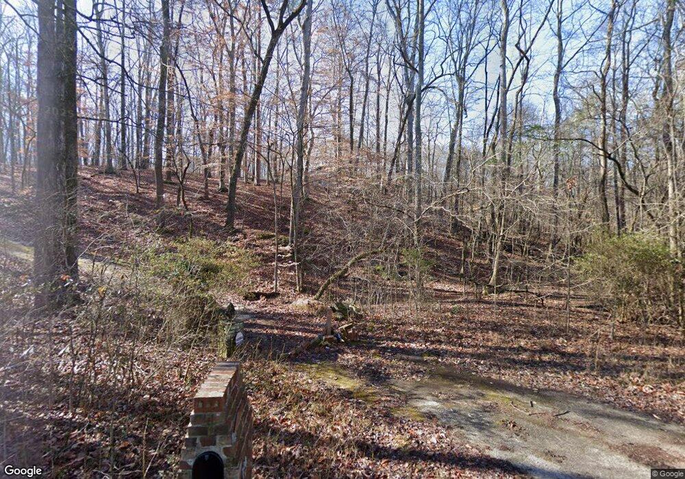
194 Hanover Dr Bogart, GA 30622
Estimated Value: $487,000 - $564,191
3
Beds
2
Baths
3,520
Sq Ft
$151/Sq Ft
Est. Value
About This Home
This home is located at 194 Hanover Dr, Bogart, GA 30622 and is currently estimated at $531,798, approximately $151 per square foot. 194 Hanover Dr is a home located in Clarke County with nearby schools including Cleveland Road Elementary School, Burney-Harris-Lyons Middle School, and Clarke Central High School.
Ownership History
Date
Name
Owned For
Owner Type
Purchase Details
Closed on
Apr 1, 2010
Sold by
Pantel Linda L
Bought by
Espelie Karl
Current Estimated Value
Purchase Details
Closed on
Aug 15, 2003
Sold by
Ward Jonathan J & Bethany M Wa
Bought by
Pantel Linda L
Purchase Details
Closed on
Apr 20, 1999
Sold by
Giles Norman H
Bought by
Ward Jonathan J & Bethany M Ward
Purchase Details
Closed on
Oct 26, 1994
Sold by
Ward Jonathan J and Ward Russell F
Bought by
Ward Jonathan J & Bethany M Ward Jtros
Purchase Details
Closed on
Jul 25, 1994
Sold by
Springfield Diane C
Bought by
Ward Jonathan J & Bethany M Ward
Create a Home Valuation Report for This Property
The Home Valuation Report is an in-depth analysis detailing your home's value as well as a comparison with similar homes in the area
Home Values in the Area
Average Home Value in this Area
Purchase History
| Date | Buyer | Sale Price | Title Company |
|---|---|---|---|
| Espelie Karl | $255,000 | -- | |
| Pantel Linda L | $260,000 | -- | |
| Ward Jonathan J & Bethany M Ward | $18,500 | -- | |
| Ward Jonathan J & Bethany M Ward Jtros | -- | -- | |
| Ward Jonathan J & Bethany M Ward | $140,000 | -- |
Source: Public Records
Tax History Compared to Growth
Tax History
| Year | Tax Paid | Tax Assessment Tax Assessment Total Assessment is a certain percentage of the fair market value that is determined by local assessors to be the total taxable value of land and additions on the property. | Land | Improvement |
|---|---|---|---|---|
| 2024 | $3,758 | $175,996 | $41,667 | $134,329 |
| 2023 | $3,788 | $167,256 | $41,667 | $125,589 |
| 2022 | $3,536 | $134,307 | $41,667 | $92,640 |
| 2021 | $3,632 | $126,954 | $41,667 | $85,287 |
| 2020 | $3,604 | $124,943 | $41,667 | $83,276 |
| 2019 | $3,528 | $117,407 | $41,667 | $75,740 |
| 2018 | $3,785 | $111,488 | $41,667 | $69,821 |
| 2017 | $3,704 | $109,115 | $41,667 | $67,448 |
| 2016 | $3,717 | $109,487 | $41,667 | $67,820 |
| 2015 | $3,648 | $107,301 | $41,667 | $65,634 |
| 2014 | $3,664 | $107,604 | $41,667 | $65,937 |
Source: Public Records
Map
Nearby Homes
- 100 Hanover Dr
- 500 Cleveland Rd
- 150 Callaway Dr
- 112 Deerhollow Rd
- 190 W Huntington Rd
- 250 Cleveland Rd Unit 228
- 240 W Huntington Rd
- 240 Cleveland Rd Unit 400
- 240 Cleveland Rd Unit 105
- 116 Laurel Springs Dr
- 211 Littleton Way
- 125 Deerfield Rd
- 637 Huntington Rd Unit B1
- 141 Huntington Shoals Dr
- 632 Creek Pointe Dr
- 212 Huntington Shoals Dr
- 470 Huntington Rd Unit 5
- 240 Deerfield Rd
- 0 Hanover Dr Unit CM382540
- 0 Hanover Dr Unit CM325052
- 0 Hanover Dr Unit 7423391
- 0 Hanover Dr Unit 8091913
- 0 Hanover Dr Unit 8729244
- 0 Hanover Dr Unit 7148180
- 0 Hanover Dr Unit 7166161
- 0 Hanover Dr Unit 8180449
- 195 Hanover Dr
- Lot 2&3C Hanover Dr Unit n/a
- Lots 2 & Hanover Dr
- Lot 1B Hanover Dr
- 185 Hanover Dr
- 190 Hanover Dr
- 290 Hanover Dr
- 280 Hanover Dr
- 289 Hanover Dr
- 205 Hanover Dr
- 175 Hanover Dr
- 186 Hanover Dr
