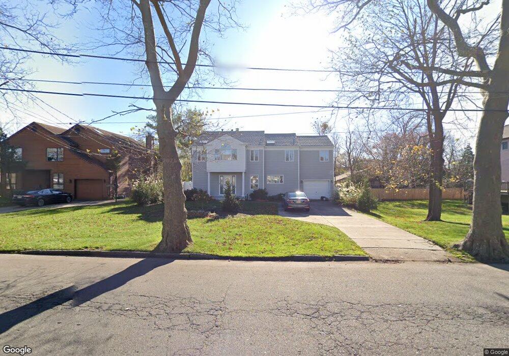
194 Hollywood Ave Long Branch, NJ 07740
Estimated Value: $1,618,000 - $2,300,000
4
Beds
3
Baths
3,056
Sq Ft
$620/Sq Ft
Est. Value
About This Home
This home is located at 194 Hollywood Ave, Long Branch, NJ 07740 and is currently estimated at $1,895,688, approximately $620 per square foot. 194 Hollywood Ave is a home located in Monmouth County with nearby schools including Long Branch High School, Holy Trinity School, and Bet Yaakov of the Jersey Shore.
Ownership History
Date
Name
Owned For
Owner Type
Purchase Details
Closed on
Aug 9, 2010
Sold by
Hughes James J
Bought by
Wozniak John J and Wozniak Constance
Current Estimated Value
Home Financials for this Owner
Home Financials are based on the most recent Mortgage that was taken out on this home.
Original Mortgage
$345,000
Outstanding Balance
$229,114
Interest Rate
4.63%
Mortgage Type
Future Advance Clause Open End Mortgage
Estimated Equity
$1,666,574
Create a Home Valuation Report for This Property
The Home Valuation Report is an in-depth analysis detailing your home's value as well as a comparison with similar homes in the area
Home Values in the Area
Average Home Value in this Area
Purchase History
| Date | Buyer | Sale Price | Title Company |
|---|---|---|---|
| Wozniak John J | $545,500 | Old Republic National Title |
Source: Public Records
Mortgage History
| Date | Status | Borrower | Loan Amount |
|---|---|---|---|
| Open | Wozniak John J | $345,000 |
Source: Public Records
Tax History Compared to Growth
Tax History
| Year | Tax Paid | Tax Assessment Tax Assessment Total Assessment is a certain percentage of the fair market value that is determined by local assessors to be the total taxable value of land and additions on the property. | Land | Improvement |
|---|---|---|---|---|
| 2025 | $19,912 | $1,491,500 | $760,300 | $731,200 |
| 2024 | $19,051 | $1,295,500 | $550,800 | $744,700 |
| 2023 | $19,051 | $1,226,700 | $515,800 | $710,900 |
| 2022 | $13,615 | $767,000 | $356,700 | $410,300 |
| 2021 | $13,615 | $680,400 | $296,700 | $383,700 |
| 2020 | $13,234 | $633,200 | $251,700 | $381,500 |
| 2019 | $12,477 | $593,600 | $191,700 | $401,900 |
| 2018 | $12,027 | $568,900 | $181,700 | $387,200 |
| 2017 | $11,430 | $554,600 | $174,700 | $379,900 |
| 2016 | $11,253 | $556,800 | $186,700 | $370,100 |
| 2015 | $11,053 | $496,300 | $148,700 | $347,600 |
| 2014 | $11,440 | $541,400 | $209,700 | $331,700 |
Source: Public Records
Map
Nearby Homes
- 65 Cedar Ave Unit C11
- 266 Lenox Ave
- 211 Cedar Ave
- 512 Sairs Ave
- 45 Cedar Ave
- 595 Woodgate Ave
- 3 Reid St
- 107 W End Ave
- 294 Brighton Ave
- 522 Hoey St
- 720 Ocean Ave Unit 8
- 735 Greens Ave Unit 18A
- 279 W West End Ave
- 675 Ocean Ave Unit 9F
- 675 Ocean Ave Unit 5J
- 717 Ocean Ave Unit 705
- 717 Ocean Ave Unit 512
- 345 Hollywood Ave
- 21 Riviera Dr
- 673 Westwood Ave
- 190 Hollywood Ave
- 205 Hollywood Terrace
- 198 Hollywood Ave
- 186 Hollywood Ave
- 207 Hollywood Terrace
- 208 Hollywood Ave
- 205 Hollywood Ave
- 210 Hollywood Terrace
- 597 Hoey Ave
- 215 Hollywood Ave
- 591 Hoey Ave
- 215 Lenox Ave
- 198 Brighton Ave
- 609 Hoey Ave
- 221 Hollywood Ave
- 10 Justin Way
- 2 Justin Way
- 210 Lenox Ave
- 615 Hoey Ave
- 228 Hollywood Ave