194 Marsh Point Dr Hilton Head Island, SC 29926
Estimated Value: $837,000 - $1,098,000
4
Beds
6
Baths
2,140
Sq Ft
$458/Sq Ft
Est. Value
About This Home
This home is located at 194 Marsh Point Dr, Hilton Head Island, SC 29926 and is currently estimated at $980,438, approximately $458 per square foot. 194 Marsh Point Dr is a home located in Beaufort County with nearby schools including Whale Branch Elementary School, Whale Branch Middle School, and Whale Branch Early College High School.
Ownership History
Date
Name
Owned For
Owner Type
Purchase Details
Closed on
Sep 28, 2018
Sold by
Kinard Bristow Brenda and Bristow David N
Bought by
Bnmm Sheldon Properties Llc
Current Estimated Value
Purchase Details
Closed on
Nov 6, 2014
Sold by
Topper David L
Bought by
Mccranie Gerald Edwin and Mccranie Louanne Scala
Purchase Details
Closed on
Jan 4, 2011
Sold by
Topper David L
Bought by
Topper David L and The Topper Living Trust
Purchase Details
Closed on
Nov 19, 2010
Sold by
Estate Of Celeste C Topper
Bought by
Topper David L
Purchase Details
Closed on
Jan 6, 2009
Sold by
Topper David and Topper David L
Bought by
Topper David L and Topper Living Trust
Create a Home Valuation Report for This Property
The Home Valuation Report is an in-depth analysis detailing your home's value as well as a comparison with similar homes in the area
Home Values in the Area
Average Home Value in this Area
Purchase History
| Date | Buyer | Sale Price | Title Company |
|---|---|---|---|
| Bnmm Sheldon Properties Llc | -- | None Available | |
| Mccranie Gerald Edwin | $512,500 | -- | |
| Topper David L | -- | -- | |
| Topper David L | -- | -- | |
| Topper David L | -- | -- |
Source: Public Records
Tax History Compared to Growth
Tax History
| Year | Tax Paid | Tax Assessment Tax Assessment Total Assessment is a certain percentage of the fair market value that is determined by local assessors to be the total taxable value of land and additions on the property. | Land | Improvement |
|---|---|---|---|---|
| 2024 | $8,767 | $33,850 | $0 | $0 |
| 2023 | $4,744 | $33,850 | $0 | $0 |
| 2022 | $4,961 | $33,620 | $0 | $0 |
| 2021 | $13,311 | $50,420 | $0 | $0 |
| 2020 | $13,058 | $50,420 | $0 | $0 |
| 2019 | $12,663 | $49,520 | $0 | $0 |
| 2018 | $11,951 | $49,520 | $0 | $0 |
| 2017 | $7,741 | $30,600 | $0 | $0 |
| 2016 | $7,539 | $30,600 | $0 | $0 |
| 2014 | $1,729 | $20,130 | $0 | $0 |
Source: Public Records
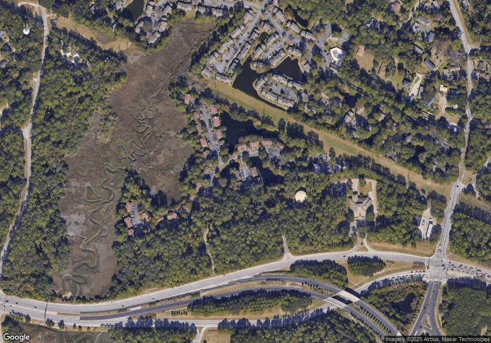
Map
Nearby Homes
- 76 Priester Rd
- 481 Paige Point Bluff
- 481 Paige Point
- 10 N Huspah Ct
- 1887 Trask Pkwy
- 214 Seabrook Rd
- 214 Seabrook Rd Unit A
- 2074 Trask Pkwy
- 67 Seabrook Center Rd
- 59 Seabrook Center Rd
- 55 Seabrook Center Rd
- 22 Unity Ln
- 24 Unity Ln
- 26 Unity Ln
- 464 Paige Point Bluff
- 164 Paige Point Bluff
- 2216 Trask Pkwy
- 198 Bull Point Dr
- 199 Marsh Pointe Dr
- 206 Marsh Point Dr
- 203 Marsh Pointe Dr
- 204 Marsh Pointe Dr
- 0 Marsh Pointe Dr Unit 14030950
- 197 Marsh Point Dr
- 200 Marsh Pointe Dr
- 196 Marsh Point Dr
- 196 Marsh Point Dr
- 206 Marsh Point Dr
- 210 Marsh Pointe Dr
- 000 Marsh Pointe Dr
- 56 Rail Bed Rd
- 216 Marsh Pointe Dr
- 220 Marsh Pointe Dr
- 222 Marsh Pointe Dr
- 48 Rail Bed Rd
- 3 Rail Bed Rd
- 2 Rail Bed Rd
- 1 Rail Bed Rd