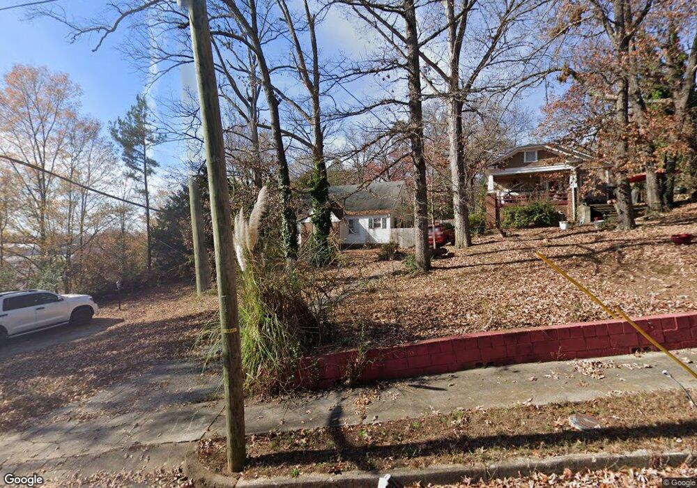
194 N High Point Rd Spartanburg, SC 29301
Saxon NeighborhoodEstimated Value: $153,000 - $226,000
2
Beds
1
Bath
1,905
Sq Ft
$95/Sq Ft
Est. Value
About This Home
This home is located at 194 N High Point Rd, Spartanburg, SC 29301 and is currently estimated at $181,011, approximately $95 per square foot. 194 N High Point Rd is a home located in Spartanburg County with nearby schools including Spartanburg High School, Spartanburg Preparatory School, and Montessori Academy.
Ownership History
Date
Name
Owned For
Owner Type
Purchase Details
Closed on
Mar 4, 2008
Sold by
Household Finance Corp Ii
Bought by
Thomason Glenn C
Current Estimated Value
Purchase Details
Closed on
Nov 14, 2007
Sold by
Beatty Rona Q
Bought by
Household Finance Corp Ii
Purchase Details
Closed on
Nov 19, 2004
Sold by
J & C Peterson Enterprises Llc
Bought by
Beatty Rona Q
Purchase Details
Closed on
May 1, 2002
Sold by
Fields Rhonda Necole
Bought by
First Union National Bank Of Delaware
Purchase Details
Closed on
Mar 19, 2002
Sold by
First Union National Bank Of Delaware
Bought by
J & C Peterson Enterprises Llc
Purchase Details
Closed on
May 31, 2000
Sold by
Morrison Gerald W and Morrison Tora M
Bought by
Ramsey Arnold J
Create a Home Valuation Report for This Property
The Home Valuation Report is an in-depth analysis detailing your home's value as well as a comparison with similar homes in the area
Home Values in the Area
Average Home Value in this Area
Purchase History
| Date | Buyer | Sale Price | Title Company |
|---|---|---|---|
| Thomason Glenn C | $23,000 | None Available | |
| Household Finance Corp Ii | $2,500 | Attorney | |
| Beatty Rona Q | $70,000 | -- | |
| First Union National Bank Of Delaware | $5,000 | -- | |
| J & C Peterson Enterprises Llc | $29,700 | -- | |
| Ramsey Arnold J | $25,000 | -- |
Source: Public Records
Tax History Compared to Growth
Tax History
| Year | Tax Paid | Tax Assessment Tax Assessment Total Assessment is a certain percentage of the fair market value that is determined by local assessors to be the total taxable value of land and additions on the property. | Land | Improvement |
|---|---|---|---|---|
| 2025 | $1,275 | $3,814 | $659 | $3,155 |
| 2024 | $1,275 | $3,814 | $659 | $3,155 |
| 2023 | $1,275 | $3,814 | $659 | $3,155 |
| 2022 | $1,081 | $3,316 | $520 | $2,796 |
| 2021 | $1,081 | $3,316 | $520 | $2,796 |
| 2020 | $1,067 | $3,316 | $520 | $2,796 |
| 2019 | $1,067 | $3,316 | $520 | $2,796 |
| 2018 | $1,067 | $3,316 | $520 | $2,796 |
| 2017 | $1,023 | $3,108 | $520 | $2,588 |
| 2016 | $2,468 | $3,108 | $520 | $2,588 |
| 2015 | $982 | $3,108 | $520 | $2,588 |
| 2014 | $977 | $3,108 | $520 | $2,588 |
Source: Public Records
Map
Nearby Homes
- 117 Helen St
- 127 E Victoria Rd
- 100 Helen St
- 144 E Victoria Rd
- 309 Willow Oaks Dr
- 133 Marlboro Rd
- 438 Stevens St
- 220 Willow Oaks Dr
- 121 W Victoria Rd
- 119 W Victoria Rd
- 439 Zephyr St
- 776 Wofford St
- 162 Watkins Ct
- 452 Tryon St
- 458 Tryon St
- 201 Michael St
- 631 S Center St
- 121 Norris Ct
- 115 Rosemary Rd
- 114 Brookside Rd
- 192 N High Point Rd
- 190 N High Point Rd
- 145 Austin St
- 184 N High Point Rd
- 785 Baltimore St
- 106 Austin St
- 783 Baltimore St
- 183 N High Point Rd
- 781 Baltimore St
- 108 Austin St
- 181 N High Point Rd
- 180 N High Point Rd
- (15.73 acres) W Main St
- 779 Baltimore St
- 777 Baltimore St
- 179 N High Point Rd
- 110 Austin St
- 179 N High Point Rd
- 176 N High Point Rd
- 775 Baltimore St