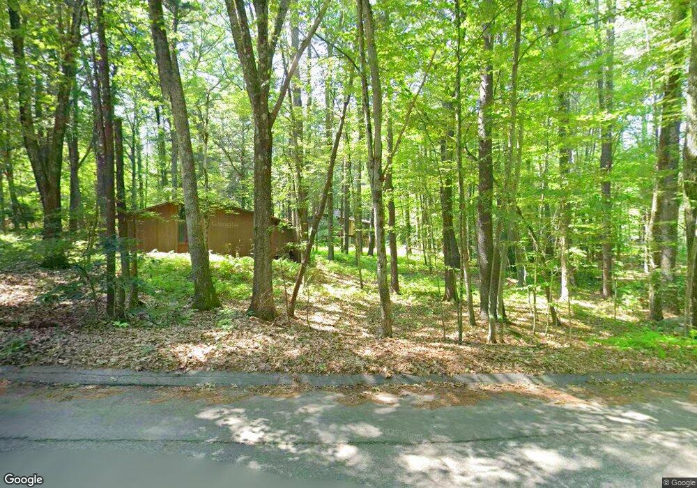
194 Nowell Farme Rd Carlisle, MA 01741
Estimated Value: $1,087,588 - $1,307,000
2
Beds
1
Bath
1,984
Sq Ft
$609/Sq Ft
Est. Value
About This Home
This home is located at 194 Nowell Farme Rd, Carlisle, MA 01741 and is currently estimated at $1,209,147, approximately $609 per square foot. 194 Nowell Farme Rd is a home located in Middlesex County with nearby schools including Carlisle School and The Fenn School.
Ownership History
Date
Name
Owned For
Owner Type
Purchase Details
Closed on
Jun 21, 2023
Sold by
Joan M Rolfe 2015 Irt and Rolfe
Bought by
Rolfe Norman F
Current Estimated Value
Purchase Details
Closed on
Aug 21, 2015
Sold by
Rolfe Joan M and Rolfe Norman M
Bought by
Joan M Rolfe Irt and Rolfe
Purchase Details
Closed on
Jan 1, 1975
Bought by
Joan M Rolfe Irt
Create a Home Valuation Report for This Property
The Home Valuation Report is an in-depth analysis detailing your home's value as well as a comparison with similar homes in the area
Home Values in the Area
Average Home Value in this Area
Purchase History
| Date | Buyer | Sale Price | Title Company |
|---|---|---|---|
| Rolfe Norman F | -- | None Available | |
| Joan M Rolfe Irt | -- | -- | |
| Joan M Rolfe Irt | -- | -- |
Source: Public Records
Mortgage History
| Date | Status | Borrower | Loan Amount |
|---|---|---|---|
| Previous Owner | Joan M Rolfe Irt | $26,000 |
Source: Public Records
Tax History Compared to Growth
Tax History
| Year | Tax Paid | Tax Assessment Tax Assessment Total Assessment is a certain percentage of the fair market value that is determined by local assessors to be the total taxable value of land and additions on the property. | Land | Improvement |
|---|---|---|---|---|
| 2025 | $14,294 | $1,084,500 | $566,600 | $517,900 |
| 2024 | $13,941 | $1,045,800 | $523,000 | $522,800 |
| 2023 | $14,651 | $1,035,400 | $500,900 | $534,500 |
| 2022 | $12,458 | $755,000 | $457,400 | $297,600 |
| 2021 | $12,291 | $755,000 | $457,400 | $297,600 |
| 2020 | $11,837 | $644,700 | $352,800 | $291,900 |
| 2019 | $11,049 | $604,100 | $352,800 | $251,300 |
| 2018 | $10,976 | $604,100 | $352,800 | $251,300 |
| 2017 | $10,584 | $600,700 | $352,800 | $247,900 |
| 2016 | $10,332 | $600,700 | $352,800 | $247,900 |
| 2015 | $10,300 | $542,100 | $352,800 | $189,300 |
| 2014 | $10,105 | $542,100 | $352,800 | $189,300 |
Source: Public Records
Map
Nearby Homes
- 54 Nowell Farme Rd
- 20 Flint Rd
- 11 Kay's Walk
- 210 Monument Farm Rd
- 125 Maple St
- 232 Baldwin Rd
- 1437-3 Monument St
- 282 Brook St
- 267 Carlisle Rd
- 373 E Riding Dr
- 383 E Riding Dr
- 5 Chestnut Ln Unit 120
- 1 Garrison Way Unit 1
- 7 School St
- 5 Clark Rd
- 45 Winterberry Way
- 7 Alder Way Unit 159
- 7 Stonegate Ln Unit 134
- 495 Hugh Cargill Rd
- 25 Pickman Dr Unit 25
- 16 Long Ridge Rd
- 162 Nowell Farme Rd
- 40 Long Ridge Rd
- 163 Nowell Farme Rd
- 126 Nowell Farme Rd
- 11 Fern Ln
- 207 Nowell Farme Rd
- 39 Long Ridge Rd
- 50 Long Ridge Rd
- 233 Nowell Farme Rd
- 131 Nowell Farme Rd
- 0 Long Ridge Rd
- Lot 332M Long Ridge Rd
- 253 Nowell Farme Rd
- 23 Suffolk Ln
- 43 Fern Ln
- 26 Garnet Rock Ln
- 69 Long Ridge Rd
- 105 Nowell Farme Rd
- 32 Fern Ln
