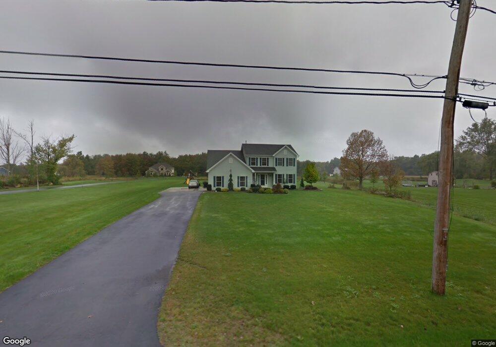
194 Ransom Rd Lancaster, NY 14086
Estimated Value: $531,037 - $613,000
4
Beds
3
Baths
2,300
Sq Ft
$247/Sq Ft
Est. Value
About This Home
This home is located at 194 Ransom Rd, Lancaster, NY 14086 and is currently estimated at $567,509, approximately $246 per square foot. 194 Ransom Rd is a home located in Erie County with nearby schools including William Street School, Lancaster Middle School, and Lancaster High School.
Ownership History
Date
Name
Owned For
Owner Type
Purchase Details
Closed on
Mar 28, 2005
Sold by
Grieble Michael and Sorge James
Bought by
Wopperer Jeffrey J and Wopperer Kimberly M
Current Estimated Value
Home Financials for this Owner
Home Financials are based on the most recent Mortgage that was taken out on this home.
Original Mortgage
$213,750
Outstanding Balance
$115,180
Interest Rate
5.5%
Mortgage Type
Construction
Estimated Equity
$452,329
Create a Home Valuation Report for This Property
The Home Valuation Report is an in-depth analysis detailing your home's value as well as a comparison with similar homes in the area
Home Values in the Area
Average Home Value in this Area
Purchase History
| Date | Buyer | Sale Price | Title Company |
|---|---|---|---|
| Wopperer Jeffrey J | $45,000 | -- |
Source: Public Records
Mortgage History
| Date | Status | Borrower | Loan Amount |
|---|---|---|---|
| Open | Wopperer Jeffrey J | $213,750 |
Source: Public Records
Tax History
| Year | Tax Paid | Tax Assessment Tax Assessment Total Assessment is a certain percentage of the fair market value that is determined by local assessors to be the total taxable value of land and additions on the property. | Land | Improvement |
|---|---|---|---|---|
| 2024 | $8,793 | $335,000 | $50,300 | $284,700 |
| 2023 | $8,794 | $335,000 | $50,300 | $284,700 |
| 2022 | $8,567 | $335,000 | $50,300 | $284,700 |
| 2021 | $8,455 | $335,000 | $50,300 | $284,700 |
| 2020 | $8,071 | $335,000 | $50,300 | $284,700 |
| 2019 | $7,115 | $250,000 | $40,300 | $209,700 |
| 2018 | $7,386 | $250,000 | $40,300 | $209,700 |
| 2017 | $3,370 | $250,000 | $40,300 | $209,700 |
| 2016 | $7,150 | $250,000 | $40,300 | $209,700 |
| 2015 | -- | $250,000 | $40,300 | $209,700 |
| 2014 | -- | $250,000 | $40,300 | $209,700 |
Source: Public Records
Map
Nearby Homes
- 145 William Kidder Rd
- 6218 Broadway St
- 30 Sedge Run
- 40 Fieldstream Ln
- 5502 William St
- 1140 Greenfield Dr
- 573 Bauder Park Dr
- 6 Fieldstream Ln
- 11617 Parkwood Dr
- 4 Fieldstream Ln
- 3420 Bullis Rd
- 1141 Boncliff Dr
- 6870 Clinton St
- 1009 Two Rod Rd Unit S
- 380 Chairfactory Rd
- 521 Stolle Rd
- 5924 Broadway St
- 1053 Virginia Dr
- 11090 Westwood Rd
- 5869 Broadway St
Your Personal Tour Guide
Ask me questions while you tour the home.