194 Sids Dr Cleveland, GA 30528
Estimated Value: $390,000 - $430,000
3
Beds
3
Baths
2,432
Sq Ft
$170/Sq Ft
Est. Value
About This Home
This home is located at 194 Sids Dr, Cleveland, GA 30528 and is currently estimated at $412,657, approximately $169 per square foot. 194 Sids Dr is a home located in White County with nearby schools including Mossy Creek Elementary School, White County 9th Grade Academy, and White County Middle School.
Ownership History
Date
Name
Owned For
Owner Type
Purchase Details
Closed on
Oct 9, 2019
Sold by
Holsinger Steven A
Bought by
Holsinger Deanna L and Holsinger Steven
Current Estimated Value
Purchase Details
Closed on
Dec 1, 2007
Sold by
Not Provided
Bought by
Holsinger Steven A and Holsinger Deanna L
Home Financials for this Owner
Home Financials are based on the most recent Mortgage that was taken out on this home.
Original Mortgage
$166,500
Interest Rate
6.22%
Mortgage Type
New Conventional
Purchase Details
Closed on
Apr 1, 2007
Sold by
Not Provided
Bought by
Holsinger Steven A and Holsinger Deanna L
Create a Home Valuation Report for This Property
The Home Valuation Report is an in-depth analysis detailing your home's value as well as a comparison with similar homes in the area
Home Values in the Area
Average Home Value in this Area
Purchase History
| Date | Buyer | Sale Price | Title Company |
|---|---|---|---|
| Holsinger Deanna L | -- | -- | |
| Holsinger Steven A | $185,000 | -- | |
| Holsinger Steven A | -- | -- |
Source: Public Records
Mortgage History
| Date | Status | Borrower | Loan Amount |
|---|---|---|---|
| Previous Owner | Holsinger Steven A | $166,500 |
Source: Public Records
Tax History Compared to Growth
Tax History
| Year | Tax Paid | Tax Assessment Tax Assessment Total Assessment is a certain percentage of the fair market value that is determined by local assessors to be the total taxable value of land and additions on the property. | Land | Improvement |
|---|---|---|---|---|
| 2025 | $2,511 | $138,824 | $19,280 | $119,544 |
| 2024 | $2,511 | $138,824 | $19,280 | $119,544 |
| 2023 | $1,996 | $113,200 | $17,136 | $96,064 |
| 2022 | $2,393 | $100,860 | $16,064 | $84,796 |
| 2021 | $1,912 | $71,324 | $12,424 | $58,900 |
| 2020 | $2,053 | $72,960 | $11,536 | $61,424 |
| 2019 | $2,060 | $72,960 | $11,536 | $61,424 |
| 2018 | $2,060 | $72,960 | $11,536 | $61,424 |
| 2017 | $1,907 | $68,176 | $11,536 | $56,640 |
| 2016 | $1,908 | $68,176 | $11,536 | $56,640 |
| 2015 | $1,820 | $170,440 | $11,536 | $56,640 |
| 2014 | $1,688 | $157,760 | $0 | $0 |
Source: Public Records
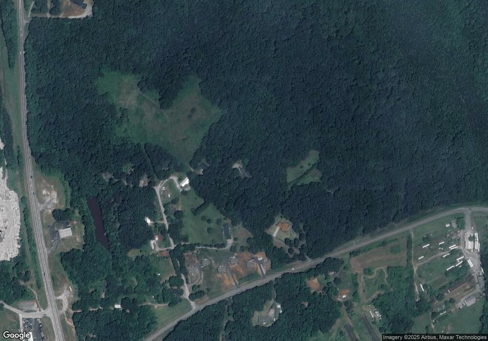
Map
Nearby Homes
- 0 Partin Rd Unit LOT 1 10539978
- 57 Autumnwood Way
- 2523 Westmoreland Rd
- 54 Totherow Rd
- 147 Briarwood Dr
- 00 Partin Rd
- 279 Leisure Acres Dr
- 283 Leisure Acres Dr
- 16 Bear Lovers Ct
- 229 Samson Way
- 109 Driskell Rd
- 250 Truelove Rd
- 869 Mossy Creek Church Rd
- 333 Song Bird Dr
- 176 Westmoreland Meadows Dr
- 256 Dogwood Ln
- 179 Garrison Dr
- 705 & 0 Long Mountain Rd
- 705 Long Mountain Rd
- 5282 Highway 129 S
- 174 Sids Dr
- 150 Bobby's Dr
- 150 Bobbys Dr
- 82 Bobbys Dr
- 2868 Westmoreland Rd
- 146 Bobbys Dr Unit 18
- 146 Bobbys Dr
- 120 Bobbys Dr
- 120 Bobbys Dr
- 162 Bobbys Dr
- 174 Bobbys Dr
- 32 Bobby's Dr
- 119 Bobbys Dr
- 83 Bobby's Dr
- 30 Bobbys Dr
- 2941 Westmoreland Rd
- 53 Mallard Crossing
- 3220 Westmoreland Rd
- 234 Bobby's Dr
- 3057 Westmoreland Rd