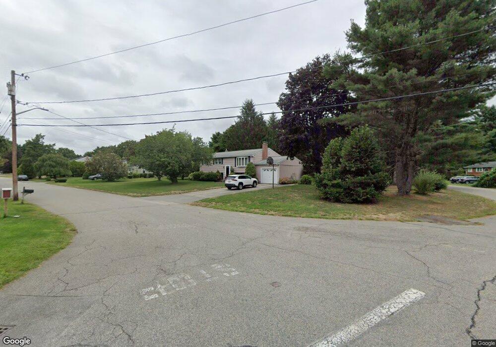
194 Tecumseh Dr Hanover, MA 02339
Estimated Value: $538,223 - $647,000
3
Beds
2
Baths
968
Sq Ft
$610/Sq Ft
Est. Value
About This Home
This home is located at 194 Tecumseh Dr, Hanover, MA 02339 and is currently estimated at $590,806, approximately $610 per square foot. 194 Tecumseh Dr is a home located in Plymouth County with nearby schools including Hanover High School.
Ownership History
Date
Name
Owned For
Owner Type
Purchase Details
Closed on
Nov 2, 2023
Sold by
Carroll Thomas F and Carroll Anne M
Bought by
Carroll Thomas F
Current Estimated Value
Create a Home Valuation Report for This Property
The Home Valuation Report is an in-depth analysis detailing your home's value as well as a comparison with similar homes in the area
Home Values in the Area
Average Home Value in this Area
Purchase History
| Date | Buyer | Sale Price | Title Company |
|---|---|---|---|
| Carroll Thomas F | -- | None Available |
Source: Public Records
Tax History
| Year | Tax Paid | Tax Assessment Tax Assessment Total Assessment is a certain percentage of the fair market value that is determined by local assessors to be the total taxable value of land and additions on the property. | Land | Improvement |
|---|---|---|---|---|
| 2025 | $6,447 | $522,000 | $269,600 | $252,400 |
| 2024 | $6,474 | $504,200 | $269,600 | $234,600 |
| 2023 | $6,253 | $463,500 | $245,100 | $218,400 |
| 2022 | $6,506 | $426,600 | $245,100 | $181,500 |
| 2021 | $6,186 | $378,800 | $211,600 | $167,200 |
| 2020 | $6,131 | $375,900 | $211,600 | $164,300 |
| 2019 | $5,786 | $352,600 | $211,600 | $141,000 |
| 2018 | $5,693 | $349,700 | $211,600 | $138,100 |
| 2017 | $5,678 | $343,700 | $210,000 | $133,700 |
| 2016 | $5,474 | $324,700 | $191,000 | $133,700 |
| 2015 | $4,834 | $299,300 | $191,000 | $108,300 |
Source: Public Records
Map
Nearby Homes
- 95 Tecumseh Dr
- 75 School St
- 108 Waterford Dr
- 561 Circuit St
- 51 Cervelli Farm Dr
- 37 Dr
- 23 Cervelli Farm Dr
- 38 Cervelli Farm Dr
- 9 Cervelli Farm Dr
- 250 Center St
- 36 Grove St
- 139 Fairwood Dr
- 430 Brook Bend Rd
- 114 Graham Hill Dr
- 339 State St
- 17 Hayford Trail Unit 12
- 7 Hayford Trail Unit 12
- 5 Hayford Trail Unit 11
- 724 Whitman St
- 22 Howland Trail Unit 34
- 184 Tecumseh Dr
- 45 Pocahontas Ln
- 53 Samoset Dr
- 43 Samoset Dr
- 189 Tecumseh Dr
- 37 Samoset Dr
- 172 Tecumseh Dr
- 67 Samoset Dr
- 177 Tecumseh Dr
- 27 Samoset Dr
- 38 Pocahontas Ln
- 165 Tecumseh Dr
- 48 Pocahontas Ln
- 12 Samoset Dr
- 83 Samoset Dr
- 18 Pocahontas Ln
- 11 Samoset Dr
- 146 Tecumseh Dr
- 153 Tecumseh Dr
- 254 Winter St
Your Personal Tour Guide
Ask me questions while you tour the home.