Estimated Value: $52,000 - $697,248
7
Beds
3
Baths
3,567
Sq Ft
$75/Sq Ft
Est. Value
About This Home
This home is located at 194 Wapiti Way, Union, OR 97883 and is currently estimated at $268,083, approximately $75 per square foot. 194 Wapiti Way is a home located in Union County with nearby schools including Union Elementary School and Union High School.
Ownership History
Date
Name
Owned For
Owner Type
Purchase Details
Closed on
Aug 14, 2008
Sold by
Hindal Michael C and Hindal Patricia
Bought by
Hawkins Frederick and Hawkins Susan
Current Estimated Value
Home Financials for this Owner
Home Financials are based on the most recent Mortgage that was taken out on this home.
Original Mortgage
$249,900
Outstanding Balance
$162,845
Interest Rate
6.27%
Mortgage Type
New Conventional
Estimated Equity
$105,238
Create a Home Valuation Report for This Property
The Home Valuation Report is an in-depth analysis detailing your home's value as well as a comparison with similar homes in the area
Home Values in the Area
Average Home Value in this Area
Purchase History
| Date | Buyer | Sale Price | Title Company |
|---|---|---|---|
| Hawkins Frederick | $349,900 | Eastern Oregon Title Inc |
Source: Public Records
Mortgage History
| Date | Status | Borrower | Loan Amount |
|---|---|---|---|
| Open | Hawkins Frederick | $249,900 |
Source: Public Records
Tax History Compared to Growth
Tax History
| Year | Tax Paid | Tax Assessment Tax Assessment Total Assessment is a certain percentage of the fair market value that is determined by local assessors to be the total taxable value of land and additions on the property. | Land | Improvement |
|---|---|---|---|---|
| 2025 | $5,877 | $413,480 | $90,170 | $323,310 |
| 2024 | $5,216 | $401,440 | $87,540 | $313,900 |
| 2023 | $5,049 | $389,750 | $84,990 | $304,760 |
| 2022 | $5,019 | $378,395 | $82,507 | $295,888 |
| 2021 | $4,882 | $367,374 | $80,024 | $287,350 |
| 2020 | $4,730 | $356,674 | $77,611 | $279,063 |
| 2019 | $4,272 | $346,286 | $91,296 | $254,990 |
| 2018 | $4,157 | $336,200 | $88,690 | $247,510 |
| 2017 | $3,666 | $326,408 | $86,096 | $240,312 |
| 2016 | $3,704 | $316,901 | $83,728 | $233,173 |
| 2015 | $3,463 | $307,671 | $81,303 | $226,368 |
| 2014 | $3,463 | $298,710 | $78,935 | $219,775 |
| 2013 | $3,366 | $290,010 | $58,394 | $231,616 |
Source: Public Records
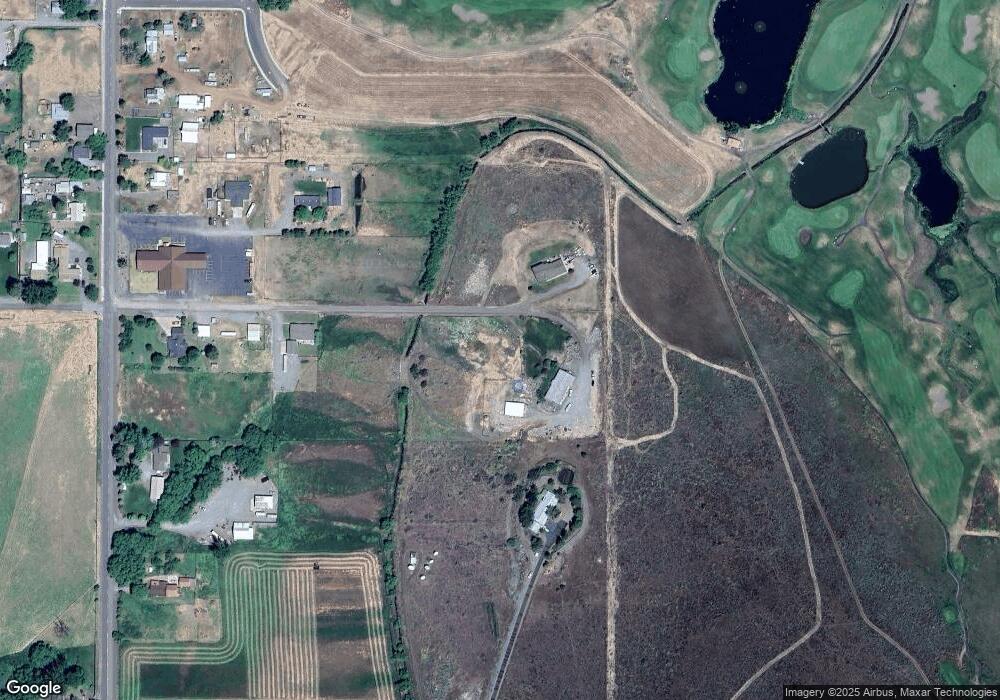
Map
Nearby Homes
- 240 Heritage Ln
- 1115 S 2nd St
- 610 E Fulton St
- 558 E Fulton St
- 362 S 4th St
- 746 W Arch St
- 527 S Dewey St
- 845 W Arch St
- 650 E Chestnut St
- 1137 N Bellwood St
- 141 E Bryan Ave
- 61938 High Valley Rd
- 59926 Comstock Rd
- 301 High Valley Rd
- 0 Rose Ridge Rd Unit 3
- 0 Rose Ridge Rd Unit 1
- 0 Rose Ridge Rd Unit 22290306
- 0 Rose Ridge Rd Unit 2
- 0 Ruth Ln Unit 1404 266829379
- 0 Conklin Ln Unit 232609065
- 217 E Roosevelt St
- 1725 S Main St
- 1379 S Main St
- 1415 S Main St
- 110 W Oregon St
- 1460 S Main St
- 1396 S Main St
- 1321 S Main St
- 243 W Oregon St
- 1293 S Main St
- 1380 S Main St
- 461 Wapiti Way
- 462 Wapiti Way
- 0 Seclusion Dr Unit 105 21594967
- 0 Seclusion Dr Unit 108 21331902
- 0 Seclusion Dr Unit 104 21487233
- 0 Seclusion Dr Unit 103 21187383
- 0 Seclusion Dr Unit 107 21121750
- 0 Seclusion Dr Unit 106 21424179
- 0 Seclusion Dr Unit 13164931