Estimated Value: $410,715 - $500,000
3
Beds
2
Baths
1,600
Sq Ft
$288/Sq Ft
Est. Value
About This Home
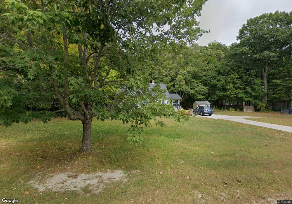
This home is located at 194 Weymouth Rd, Gray, ME 04039 and is currently estimated at $461,429, approximately $288 per square foot. 194 Weymouth Rd is a home located in Cumberland County with nearby schools including Gray-New Gloucester High School and Fiddlehead School of Arts & Science.
Ownership History
Date
Name
Owned For
Owner Type
Purchase Details
Closed on
May 25, 2016
Sold by
Tucker Katherine and Tucker Joshua B
Bought by
Clements Melissa H and Clements Branden
Current Estimated Value
Home Financials for this Owner
Home Financials are based on the most recent Mortgage that was taken out on this home.
Original Mortgage
$177,300
Outstanding Balance
$141,157
Interest Rate
3.58%
Mortgage Type
New Conventional
Estimated Equity
$320,272
Purchase Details
Closed on
May 31, 2006
Sold by
Greer Donna L
Bought by
Tucker Katherine and Tucker Joshua B
Create a Home Valuation Report for This Property
The Home Valuation Report is an in-depth analysis detailing your home's value as well as a comparison with similar homes in the area
Home Values in the Area
Average Home Value in this Area
Purchase History
| Date | Buyer | Sale Price | Title Company |
|---|---|---|---|
| Clements Melissa H | -- | -- | |
| Tucker Katherine | -- | -- |
Source: Public Records
Mortgage History
| Date | Status | Borrower | Loan Amount |
|---|---|---|---|
| Open | Clements Melissa H | $177,300 |
Source: Public Records
Tax History Compared to Growth
Tax History
| Year | Tax Paid | Tax Assessment Tax Assessment Total Assessment is a certain percentage of the fair market value that is determined by local assessors to be the total taxable value of land and additions on the property. | Land | Improvement |
|---|---|---|---|---|
| 2024 | $3,200 | $329,900 | $117,600 | $212,300 |
| 2023 | $3,604 | $237,400 | $60,100 | $177,300 |
| 2022 | $3,312 | $237,400 | $60,100 | $177,300 |
| 2021 | $3,121 | $213,600 | $60,100 | $153,500 |
| 2020 | $3,151 | $213,600 | $60,100 | $153,500 |
| 2019 | $3,151 | $213,600 | $60,100 | $153,500 |
| 2018 | $2,990 | $213,600 | $60,100 | $153,500 |
| 2017 | $2,439 | $135,100 | $42,000 | $93,100 |
| 2016 | $2,472 | $135,100 | $42,000 | $93,100 |
| 2015 | $2,459 | $135,100 | $42,000 | $93,100 |
| 2014 | $2,459 | $135,100 | $42,000 | $93,100 |
| 2012 | $2,141 | $135,070 | $42,000 | $93,070 |
Source: Public Records
Map
Nearby Homes
- 167 Weymouth Rd
- 65 Blueberry Ln
- 153 Shaker Rd
- 4 Wanda Ln
- 74 May Meadow Dr
- 127 Shaker Rd Unit 61
- 127 Shaker Rd Unit 37
- 00 N Shore Rd
- 263 Mayall Rd
- 17 Callaway Dr Unit 17
- 27 Callaway Dr Unit 27B
- 27 Callaway Dr Unit 27A
- 2 Dr
- 150 Birchwood Rd
- 0 Mayall
- TBD Targett Rd
- 22 Gray Park
- 27 Boulder Dr
- 28 Oak Dr
- 11-007 Westwood Rd