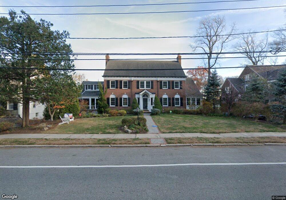
194 Wyoming Ave Maplewood, NJ 07040
Estimated Value: $1,281,000 - $2,001,000
--
Bed
--
Bath
3,291
Sq Ft
$493/Sq Ft
Est. Value
About This Home
This home is located at 194 Wyoming Ave, Maplewood, NJ 07040 and is currently estimated at $1,620,948, approximately $492 per square foot. 194 Wyoming Ave is a home located in Essex County with nearby schools including Delia Bolden Elementary School, Maplewood Middle School, and Columbia Senior High School.
Ownership History
Date
Name
Owned For
Owner Type
Purchase Details
Closed on
Feb 5, 2010
Sold by
James Dorsey M and James Deborah A
Bought by
Celleri Al and Celleri Diane
Current Estimated Value
Home Financials for this Owner
Home Financials are based on the most recent Mortgage that was taken out on this home.
Original Mortgage
$604,000
Outstanding Balance
$399,146
Interest Rate
5%
Mortgage Type
New Conventional
Estimated Equity
$1,221,802
Purchase Details
Closed on
Feb 28, 1990
Sold by
Stevens William C and Stevens Gopher,Sarah
Bought by
Layng Edwin T and Layng Patricia
Create a Home Valuation Report for This Property
The Home Valuation Report is an in-depth analysis detailing your home's value as well as a comparison with similar homes in the area
Home Values in the Area
Average Home Value in this Area
Purchase History
| Date | Buyer | Sale Price | Title Company |
|---|---|---|---|
| Celleri Al | $755,000 | None Available | |
| Layng Edwin T | $365,000 | -- |
Source: Public Records
Mortgage History
| Date | Status | Borrower | Loan Amount |
|---|---|---|---|
| Open | Celleri Al | $604,000 |
Source: Public Records
Tax History Compared to Growth
Tax History
| Year | Tax Paid | Tax Assessment Tax Assessment Total Assessment is a certain percentage of the fair market value that is determined by local assessors to be the total taxable value of land and additions on the property. | Land | Improvement |
|---|---|---|---|---|
| 2025 | $30,750 | $1,444,700 | $475,100 | $969,600 |
| 2024 | $30,750 | $1,444,700 | $475,100 | $969,600 |
| 2022 | $29,985 | $850,400 | $355,600 | $494,800 |
| 2021 | $29,075 | $850,400 | $355,600 | $494,800 |
| 2020 | $28,250 | $850,400 | $355,600 | $494,800 |
| 2019 | $27,434 | $850,400 | $355,600 | $494,800 |
| 2018 | $26,728 | $850,400 | $355,600 | $494,800 |
| 2017 | $25,929 | $850,400 | $355,600 | $494,800 |
| 2016 | $26,838 | $728,300 | $263,600 | $464,700 |
| 2015 | $26,219 | $728,300 | $263,600 | $464,700 |
| 2014 | -- | $728,300 | $263,600 | $464,700 |
Source: Public Records
Map
Nearby Homes
- 95 Collinwood Rd S
- 168 Wyoming Ave
- 13 Collinwood Rd Unit 15
- 7 Warner Rd
- 76 Durand Rd
- 56 Headley Place
- 24 St Lawrence Ave
- 24 Saint Lawrence Ave
- 73 Jefferson Ave
- 616 S Orange Ave Unit 5J
- 616 S Orange Ave Unit 7G
- 609 So Orange Ave West5q Unit 5Q
- 616 S Orange Ave Unit 7F
- 26 Brook Ln
- 30 Crest Dr
- 311 Lenox Ave
- 616 S Orange Ave Sh4 Unit SH4
- 18 Overhill Rd
- 21 Overhill Rd
- 460 Overhill Rd
- 190 Wyoming Ave
- 198 Wyoming Ave
- 32 Claremont Dr
- 188 Wyoming Ave
- 40 Collinwood Rd
- 193 Wyoming Ave
- 202 Wyoming Ave
- 38 Collinwood Rd
- 30 Claremont Dr
- 52 Collinwood Rd
- 38 Claremont Dr
- 36 Collinwood Rd
- 184 Wyoming Ave
- 27 Claremont Dr
- 98 Collinwood Rd
- 201 Wyoming Ave
- 40 Claremont Dr
- 26 Claremont Dr
- 206 Wyoming Ave
- 54 Collinwood Rd