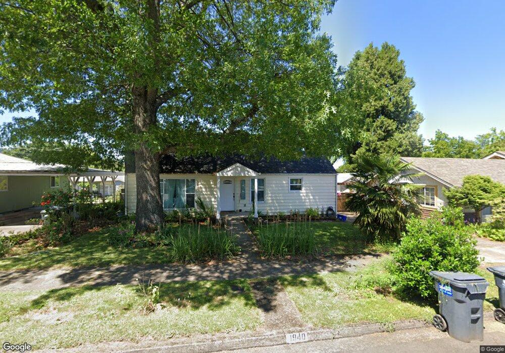
1940 Adams St Eugene, OR 97405
Friendly NeighborhoodEstimated Value: $484,000 - $499,000
4
Beds
1
Bath
1,616
Sq Ft
$305/Sq Ft
Est. Value
About This Home
This home is located at 1940 Adams St, Eugene, OR 97405 and is currently estimated at $492,597, approximately $304 per square foot. 1940 Adams St is a home located in Lane County with nearby schools including Adams Elementary School, Arts And Technology Academy At Jefferson, and Churchill High School.
Ownership History
Date
Name
Owned For
Owner Type
Purchase Details
Closed on
Mar 19, 2013
Sold by
Wheeler Elizabeth Anne and Shin Jordan Junechul
Bought by
Albright Margaret E
Current Estimated Value
Home Financials for this Owner
Home Financials are based on the most recent Mortgage that was taken out on this home.
Original Mortgage
$190,000
Outstanding Balance
$133,311
Interest Rate
3.49%
Mortgage Type
New Conventional
Estimated Equity
$359,286
Purchase Details
Closed on
Apr 12, 2011
Sold by
Shin Jordan Junechul and Wheeler Elizabeth Anne
Bought by
Wheeler Elizabeth Anne and Shin Jordan Junechul
Create a Home Valuation Report for This Property
The Home Valuation Report is an in-depth analysis detailing your home's value as well as a comparison with similar homes in the area
Home Values in the Area
Average Home Value in this Area
Purchase History
| Date | Buyer | Sale Price | Title Company |
|---|---|---|---|
| Albright Margaret E | $200,000 | Multiple | |
| Wheeler Elizabeth Anne | -- | None Available |
Source: Public Records
Mortgage History
| Date | Status | Borrower | Loan Amount |
|---|---|---|---|
| Open | Albright Margaret E | $190,000 |
Source: Public Records
Tax History
| Year | Tax Paid | Tax Assessment Tax Assessment Total Assessment is a certain percentage of the fair market value that is determined by local assessors to be the total taxable value of land and additions on the property. | Land | Improvement |
|---|---|---|---|---|
| 2025 | $4,502 | $231,045 | -- | -- |
| 2024 | $4,058 | $204,769 | -- | -- |
| 2023 | $4,058 | $198,805 | $0 | $0 |
| 2022 | $3,802 | $193,015 | $0 | $0 |
| 2021 | $3,571 | $187,394 | $0 | $0 |
| 2020 | $3,584 | $181,936 | $0 | $0 |
| 2019 | $3,461 | $176,637 | $0 | $0 |
| 2018 | $3,258 | $166,498 | $0 | $0 |
| 2017 | $3,112 | $166,498 | $0 | $0 |
| 2016 | $3,023 | $161,649 | $0 | $0 |
| 2015 | $2,896 | $156,941 | $0 | $0 |
| 2014 | $2,850 | $152,370 | $0 | $0 |
Source: Public Records
Map
Nearby Homes
- 0 Monroe St Unit 343774498
- 1890 Taylor St
- 2255 Polk St
- 1612 Polk St
- 537 W 14th Ave
- 2096 Charnelton St
- 1275 Jefferson St
- 650 W 12th Ave Unit 102
- 135 W 18th Ave
- 1130 Polk Aly
- 951 W 27th Ave
- 1673 Olive Aly
- 2031 Olive St
- 2064 Grant St
- 1197 W 11th Ave
- 1313 Lincoln St Unit 308
- 1313 Lincoln St Unit 1005
- 1313 Lincoln St Unit 401
- 1910 W 17th Ave
- 1445 W 11th Ave
Your Personal Tour Guide
Ask me questions while you tour the home.