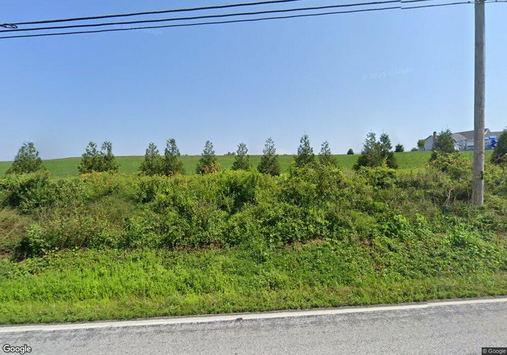
1940 Black Rock Rd Hanover, PA 17331
Estimated Value: $365,000 - $522,000
1
Bed
2
Baths
2,074
Sq Ft
$210/Sq Ft
Est. Value
About This Home
This home is located at 1940 Black Rock Rd, Hanover, PA 17331 and is currently estimated at $436,501, approximately $210 per square foot. 1940 Black Rock Rd is a home located in York County with nearby schools including South Western Senior High School.
Ownership History
Date
Name
Owned For
Owner Type
Purchase Details
Closed on
Mar 13, 2025
Sold by
Looker Joseph L and Looker Wendy S
Bought by
Ayden Matthew Looker Trust and Looker
Current Estimated Value
Purchase Details
Closed on
Sep 13, 2010
Sold by
Haslup Erin M and Dorffner Joseph C
Bought by
Looker Joseph L and Looker Wendy S
Purchase Details
Closed on
Jan 4, 2008
Sold by
Dorffner Joseph C and Dorffner Mary L
Bought by
Dorffner Joseph C
Create a Home Valuation Report for This Property
The Home Valuation Report is an in-depth analysis detailing your home's value as well as a comparison with similar homes in the area
Home Values in the Area
Average Home Value in this Area
Purchase History
| Date | Buyer | Sale Price | Title Company |
|---|---|---|---|
| Ayden Matthew Looker Trust | -- | None Listed On Document | |
| Ayden Matthew Looker Trust | -- | None Listed On Document | |
| Looker Joseph L | $80,000 | None Available | |
| Dorffner Joseph C | -- | None Available |
Source: Public Records
Tax History Compared to Growth
Tax History
| Year | Tax Paid | Tax Assessment Tax Assessment Total Assessment is a certain percentage of the fair market value that is determined by local assessors to be the total taxable value of land and additions on the property. | Land | Improvement |
|---|---|---|---|---|
| 2025 | $7,264 | $217,480 | $62,500 | $154,980 |
| 2024 | $7,264 | $217,480 | $62,500 | $154,980 |
| 2023 | $7,133 | $217,480 | $62,500 | $154,980 |
| 2022 | $7,022 | $217,480 | $62,500 | $154,980 |
| 2021 | $6,703 | $217,480 | $62,500 | $154,980 |
| 2020 | $6,703 | $217,480 | $62,500 | $154,980 |
| 2019 | $6,574 | $217,480 | $62,500 | $154,980 |
| 2018 | $6,466 | $217,480 | $62,500 | $154,980 |
| 2017 | $6,340 | $217,480 | $62,500 | $154,980 |
| 2016 | $0 | $210,290 | $62,500 | $147,790 |
| 2015 | -- | $210,290 | $62,500 | $147,790 |
| 2014 | -- | $210,290 | $62,500 | $147,790 |
Source: Public Records
Map
Nearby Homes
- 1753 Black Rock Rd
- 49 Valley View Dr
- 545 Ripple Dr Unit 66
- 8 Lakeview Terrace
- 12 Roman Ln
- 153 Holstein Dr
- 47 Holstein Dr
- 312 Homestead Dr
- 297 Homestead Dr
- 295 Homestead Dr
- 288 Homestead Dr Unit HA207
- 117 Holstein Dr Unit 164
- 119 Holstein Dr Unit 163
- 123 Holstein Dr Unit 161
- 125 Holstein Dr Unit 160
- 155 Holstein Dr
- 16 Angus Dr
- 262 Holstein Dr Unit 93
- 151 Homestead Dr
- 229 Holstein Dr Unit 111
- 2150 Lakeside Dr
- 2140 Lakeside Dr
- 2131 Lakeside Dr
- 2130 Lakeside Dr
- 2037 Black Rock Rd
- 130 Shady Ln
- 50 Frogtown Rd
- 2101 Lakeside Dr
- 2301 Woodbrook Ct
- 2061 Black Rock Rd
- 64 Frogtown Rd
- 135 Shady Ln
- 110 Shady Ln
- 70 Shady Ln
- 61 Frogtown Rd
- 2320 Woodbrook Ct
- 2081 Black Rock Rd
- 19 Lakeside Dr
- 65 Frogtown Rd
- 90 Shady Ln
