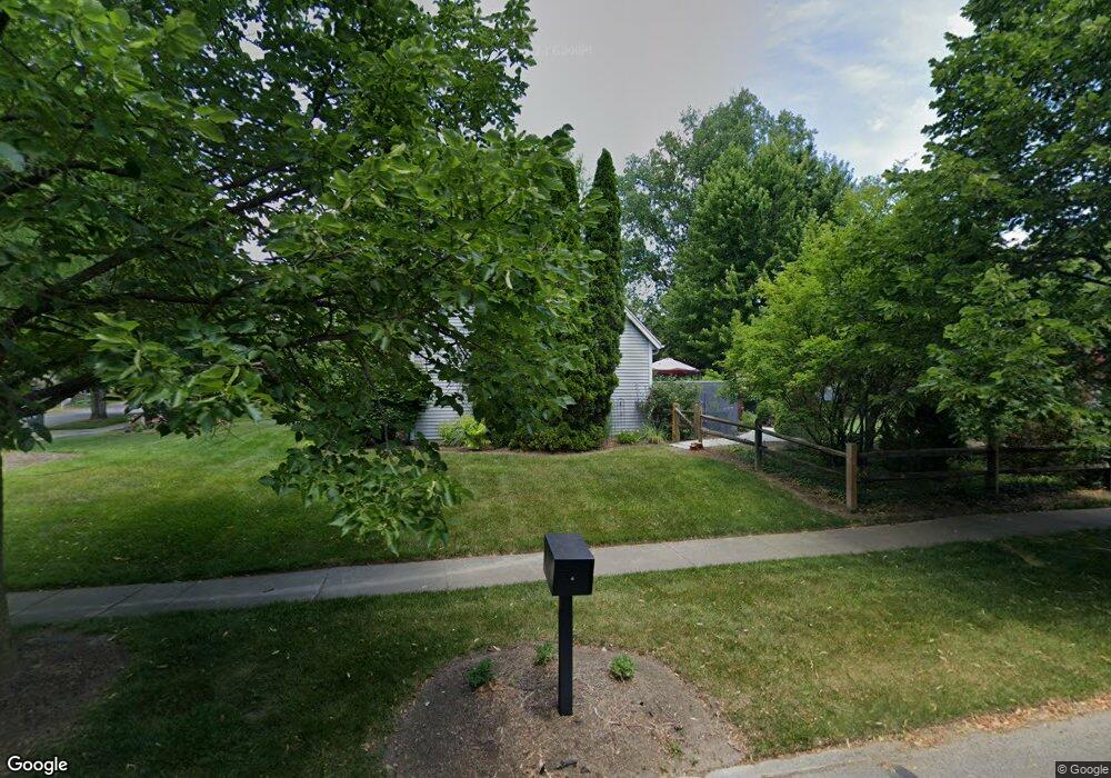
1940 Bobolink Ln Toledo, OH 43615
Reynolds Corners NeighborhoodEstimated Value: $192,000 - $245,000
3
Beds
2
Baths
1,368
Sq Ft
$154/Sq Ft
Est. Value
About This Home
This home is located at 1940 Bobolink Ln, Toledo, OH 43615 and is currently estimated at $210,592, approximately $153 per square foot. 1940 Bobolink Ln is a home located in Lucas County with nearby schools including Hawkins Elementary School, Rogers High School, and St. Benedict Catholic School.
Ownership History
Date
Name
Owned For
Owner Type
Purchase Details
Closed on
Dec 14, 2001
Sold by
Stockard Rhonda R
Bought by
Scales Dwight A and Scales Pamela K
Current Estimated Value
Home Financials for this Owner
Home Financials are based on the most recent Mortgage that was taken out on this home.
Original Mortgage
$106,200
Interest Rate
6.75%
Mortgage Type
Purchase Money Mortgage
Purchase Details
Closed on
Sep 3, 1999
Sold by
Stockard Eric J
Bought by
Stockard Rhonda R
Home Financials for this Owner
Home Financials are based on the most recent Mortgage that was taken out on this home.
Original Mortgage
$88,500
Interest Rate
11.5%
Create a Home Valuation Report for This Property
The Home Valuation Report is an in-depth analysis detailing your home's value as well as a comparison with similar homes in the area
Home Values in the Area
Average Home Value in this Area
Purchase History
| Date | Buyer | Sale Price | Title Company |
|---|---|---|---|
| Scales Dwight A | $118,000 | Northwest Title Agency Of Oh | |
| Stockard Rhonda R | -- | -- |
Source: Public Records
Mortgage History
| Date | Status | Borrower | Loan Amount |
|---|---|---|---|
| Closed | Scales Dwight A | $106,200 | |
| Closed | Stockard Rhonda R | $88,500 |
Source: Public Records
Tax History Compared to Growth
Tax History
| Year | Tax Paid | Tax Assessment Tax Assessment Total Assessment is a certain percentage of the fair market value that is determined by local assessors to be the total taxable value of land and additions on the property. | Land | Improvement |
|---|---|---|---|---|
| 2024 | $1,512 | $43,645 | $11,550 | $32,095 |
| 2023 | $2,771 | $38,080 | $9,625 | $28,455 |
| 2022 | $2,745 | $38,080 | $9,625 | $28,455 |
| 2021 | $2,782 | $38,080 | $9,625 | $28,455 |
| 2020 | $3,082 | $37,345 | $8,085 | $29,260 |
| 2019 | $3,004 | $37,345 | $8,085 | $29,260 |
| 2018 | $3,045 | $37,345 | $8,085 | $29,260 |
| 2017 | $3,056 | $36,505 | $7,910 | $28,595 |
| 2016 | $3,112 | $104,300 | $22,600 | $81,700 |
| 2015 | $3,090 | $104,300 | $22,600 | $81,700 |
| 2014 | $2,297 | $36,510 | $7,910 | $28,600 |
| 2013 | $2,297 | $36,510 | $7,910 | $28,600 |
Source: Public Records
Map
Nearby Homes
- 2026 Pautucket Rd
- 4709 W Bancroft St
- 4705 W Bancroft St
- 5051 Wissman Rd
- 5331 Fleet Rd
- 4515 W Bancroft St
- 4519 W Bancroft St
- 5041 Ancil Rd
- 5057 Brandon Rd
- 801 Hilltop Ln
- 2009 Garden Ln
- 4236 S Terrace View St
- 710 Hilltop Ln
- 5029 Kellogg Rd
- 1101 Sawyer Rd
- 1925 Olimphia Rd
- 2222 Talmadge Rd
- 2720 Derby Rd
- 5212 Regency Dr
- 4057 Hillandale Rd
- 2004 Willowhill Ln
- 1928 Bobolink Ln
- 1914 Willowhill Ln
- 2012 Willowhill Ln
- 1929 Bobolink Ln
- 4919 Fleet Rd
- 1923 Willowhill Ln
- 1920 Bobolink Ln
- 2009 Willowhill Ln
- 1904 Willowhill Ln
- 4911 Fleet Rd
- 1914 Bobolink Ln
- 1901 Bobolink Ln
- 1905 Willowhill Ln
- 4903 Fleet Rd
- 2021 Willowhill Ln
- 1908 Bobolink Ln
- 1854 Willowhill Ln
- 1880 Atwood Rd
- 4936 Fleet Rd